Drives Texas
Scenic drives in Texas
70 drives worth taking in Texas, each planned as a Carve route: the exact roads, how far and how long, and how twisty. Open one in Carve and drive it turn by turn.
Austin, San Antonio and the Hill Country
 Bandera Road: Helotes to BanderaLeisurely · TX 16, Bandera Road · 30 mi · 35 min
 Devil's BackboneLeisurely · RM 12, RM 32 · 10.5 mi · 15 min
 Hamilton Pool RoadLeisurely · Hamilton Pool Road, RM 3238 · 16.7 mi · 25 min
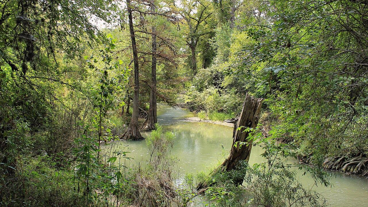 Highway 16: Bandera to KerrvilleSweeping · TX 16, Medina Highway · 36 mi · 50 min
 Highway 16: Fredericksburg to LlanoLeisurely · TX 16 · 37 mi · 40 min
Lime Creek RoadIntense · Lime Creek Road · 6.6 mi · 15 min
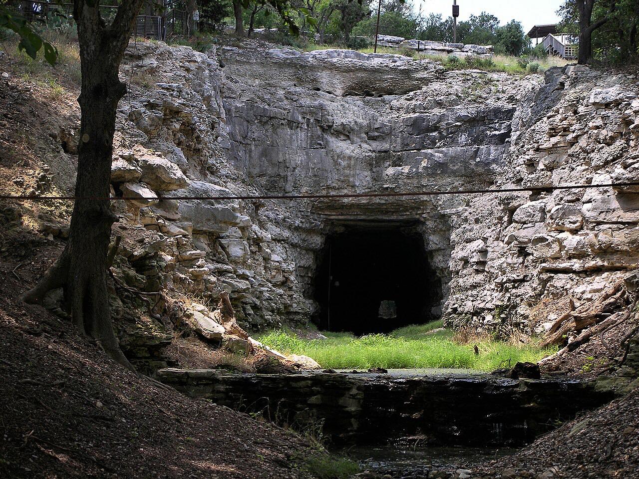 Old No. 9 HighwaySweeping · Old Number 9 Highway, Old San Antonio Road · 18.1 mi · 40 min
 Park Road 1C: Lost PinesIntense · Park Road 1C · 7 mi · 25 min
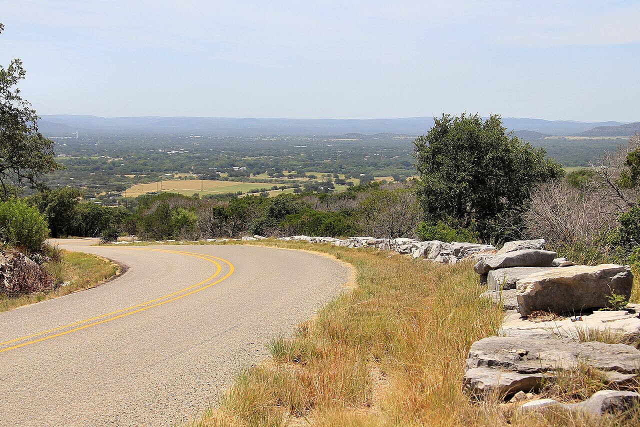 Park Road 4: Longhorn CavernSweeping · Park Road 4 · 15.3 mi · 20 min
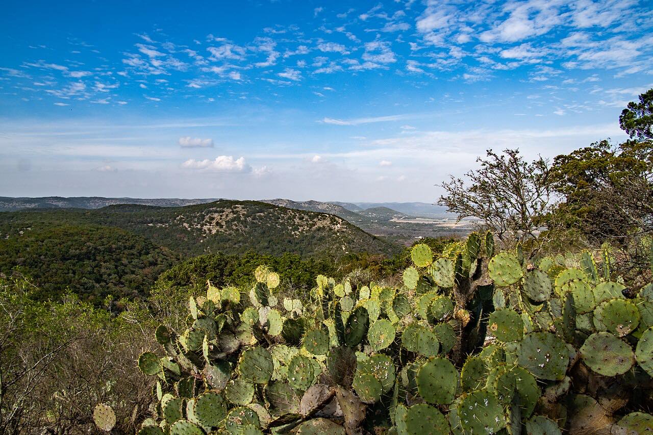 RM 1050: Utopia to Garner State ParkLeisurely · RM 1050 · 13.9 mi · 25 min
RM 1376: Boerne to LuckenbachLeisurely · RM 1376, Sisterdale Road · 28 mi · 35 min
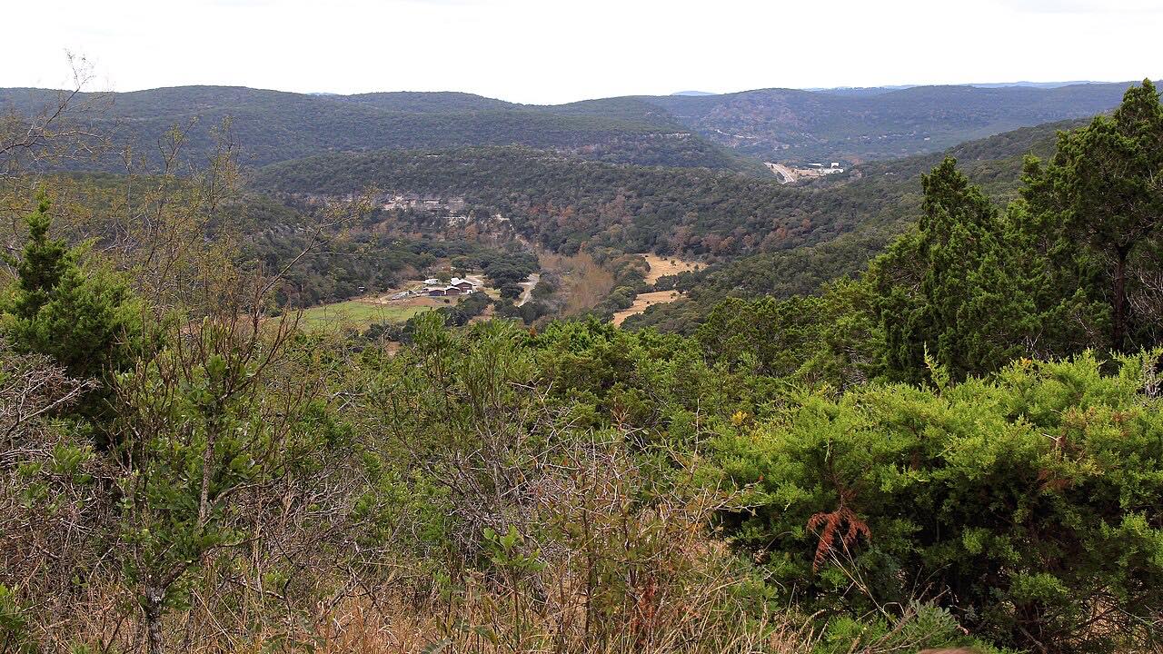 RM 187: Utopia to Lost MaplesLeisurely · RM 187, RM 337 · 29 mi · 40 min
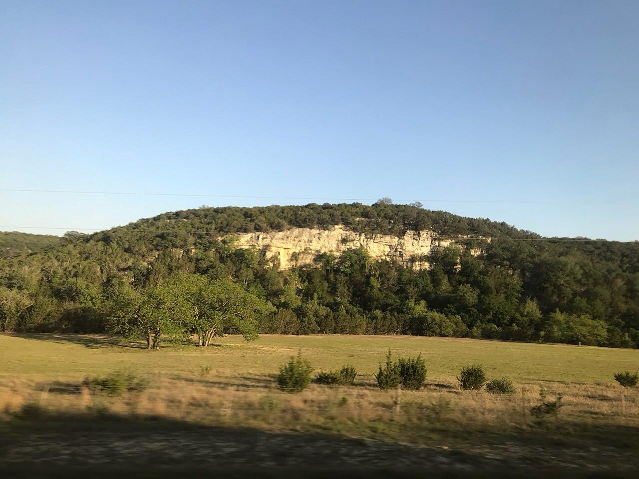 RM 337: Medina to LeakeySweeping · RM 337, RM 187 · 36 mi · 45 min
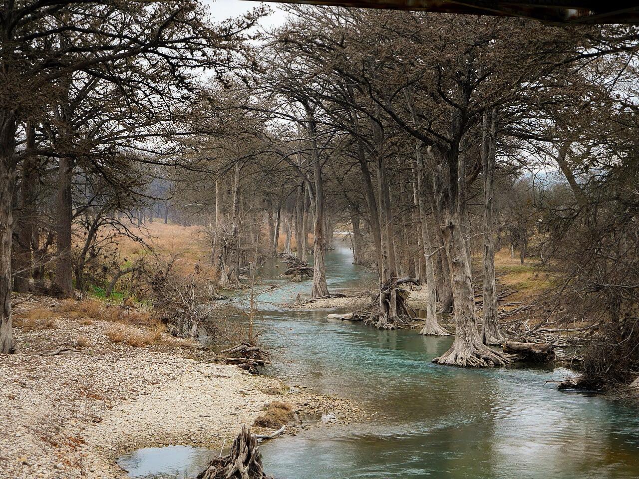 RM 473: Comfort to Highway 281Leisurely · RM 473, Sisterdale Road · 33 mi · 40 min
 RR 12: San Marcos to WimberleyLeisurely · RR 12 · 11.4 mi · 15 min
 RR 12: Wimberley to Dripping SpringsLeisurely · RM 12 · 13.7 mi · 20 min
 RR 1431: Jonestown to Marble FallsLeisurely · RM 1431 · 30 mi · 35 min
 RR 2325: Wimberley to BlancoLeisurely · RM 2325, RM 165 · 23 mi · 30 min
 RR 965: Fredericksburg to Enchanted RockLeisurely · RM 965 · 23 mi · 30 min
 River Road: New Braunfels to Canyon LakeSweeping · River Road, South Access Road · 14.8 mi · 35 min
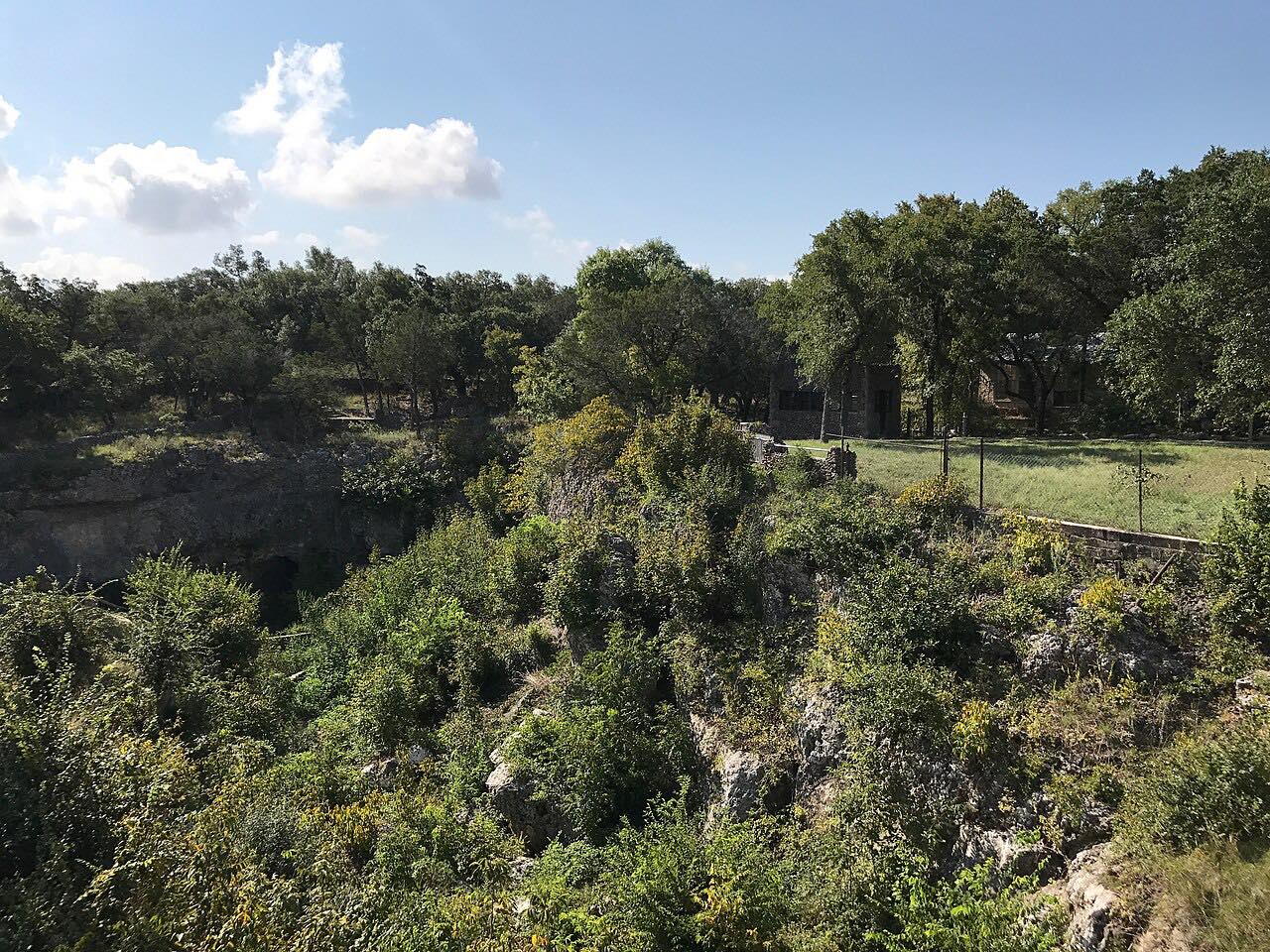 Scenic Loop RoadLeisurely · Scenic Loop Road · 13 mi · 30 min
 The Twisted SistersLeisurely · RM 337, TX 55 · 94 mi · 2 hr 5 min
 US-377: Junction to RockspringsLeisurely · US 377, Del Rio Road · 46 mi · 50 min
 US-83: Leakey to ConcanLeisurely · US 83, Texas Vietnam Veterans Memorial Highway · 16.4 mi · 20 min
 Willow City LoopSweeping · Willow City Loop · 12.6 mi · 35 min
Big Bend and West Texas
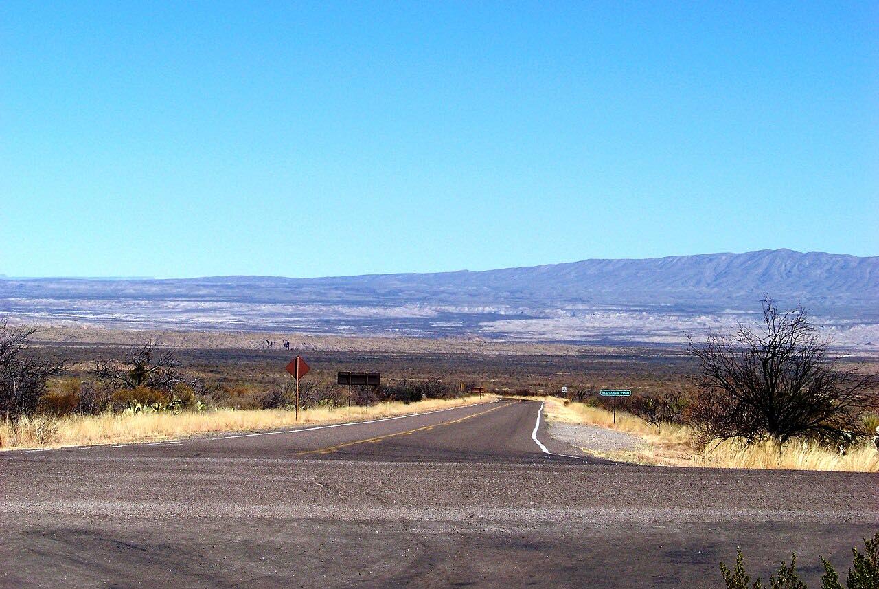 Big Bend Main Park RoadLeisurely · Rio Grande Village Drive, US 385 · 43 mi · 1 hr 15 min
 Chisos Basin RoadTwisty · Chisos Basin Road, Basin Road · 4.1 mi · 10 min
 Davis Mountains Scenic LoopLeisurely · TX 118, TX 166 · 73 mi · 2 hr 5 min
 FM 170: Study Butte to LajitasLeisurely · FM 170 · 17 mi · 25 min
 FM 89: Abilene to Buffalo GapLeisurely · FM 89, Buffalo Gap Road · 11.1 mi · 15 min
 Highway 118: Alpine to Fort DavisLeisurely · TX 118, Fort Davis Highway · 22 mi · 25 min
 Highway 118: Alpine to Study ButteLeisurely · TX 118 · 76 mi · 1 hr 20 min
 Highway 17: Wild Rose PassLeisurely · TX 17 · 35 mi · 40 min
 RM 674: Brackettville to RockspringsLeisurely · RM 674, RM 334 · 60 mi · 1 hr 15 min
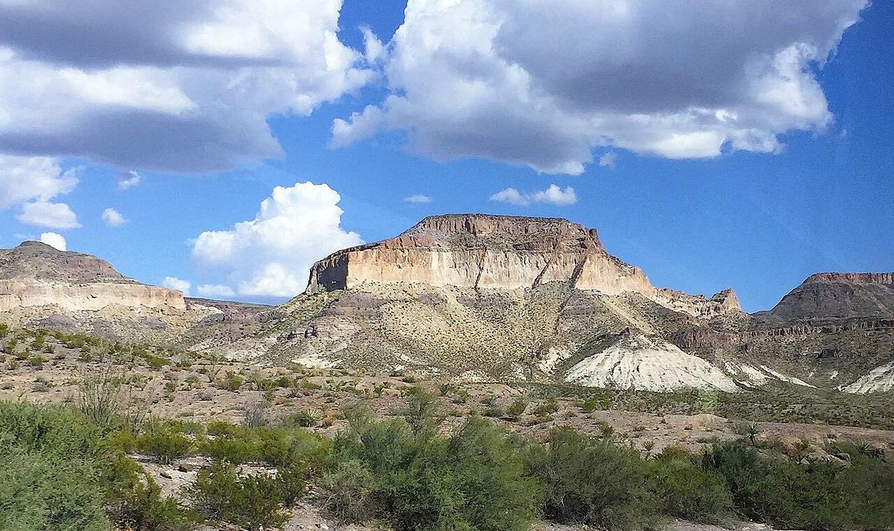 River Road: Lajitas to PresidioLeisurely · FM 170 · 48 mi · 1 hr 20 min
 Ross Maxwell Scenic DriveSweeping · Ross Maxwell Scenic Drive · 22 mi · 30 min
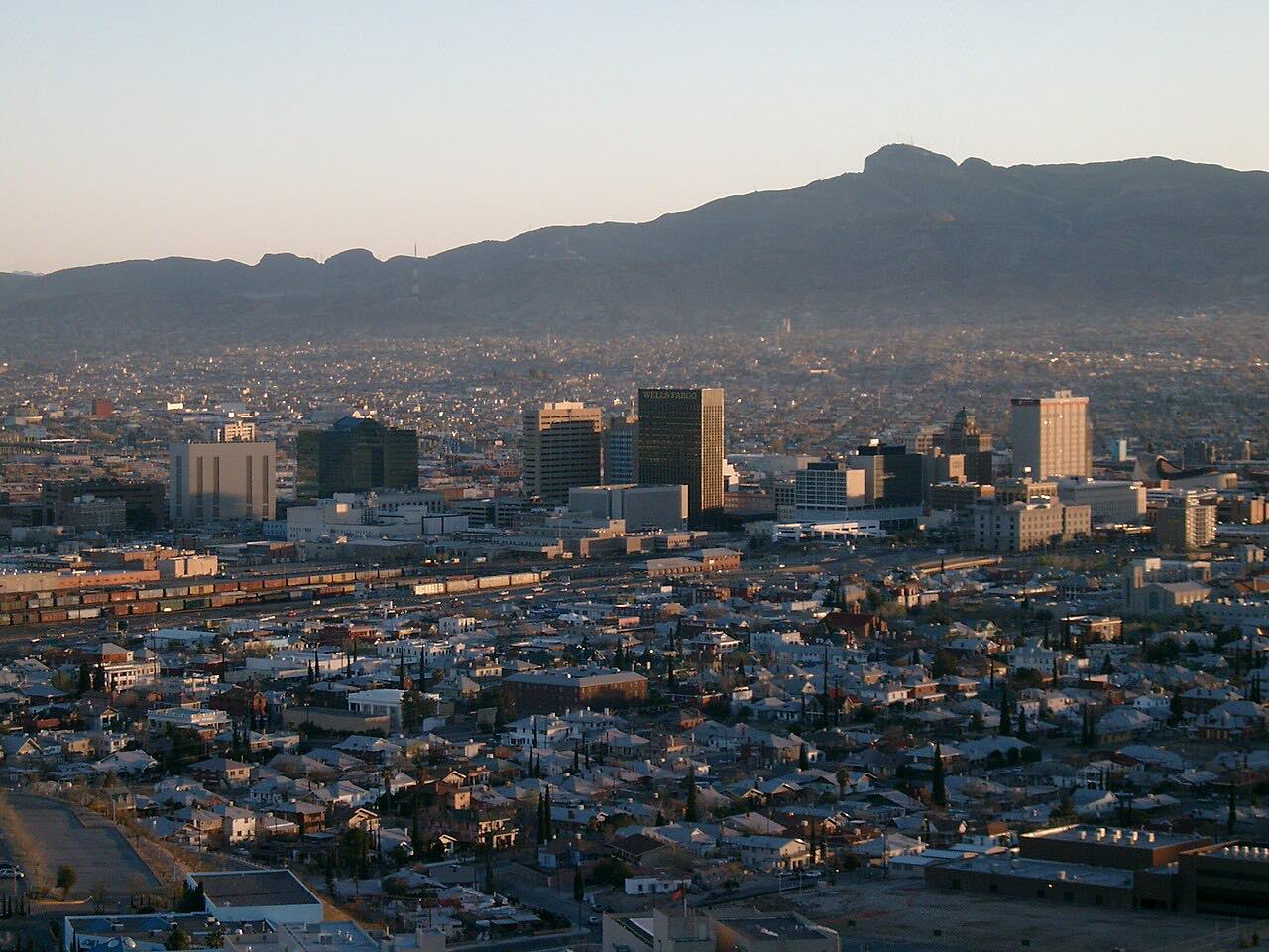 Scenic Drive, El PasoIntense · Scenic Drive · 1.6 mi · 5 min
 Scenic Mountain Drive, Big SpringIntense · Scenic Drive, Park Road 8 · 2.3 mi · 5 min
 Socorro Road: El Paso Mission TrailLeisurely · Socorro Road, FM 258 · 7.4 mi · 20 min
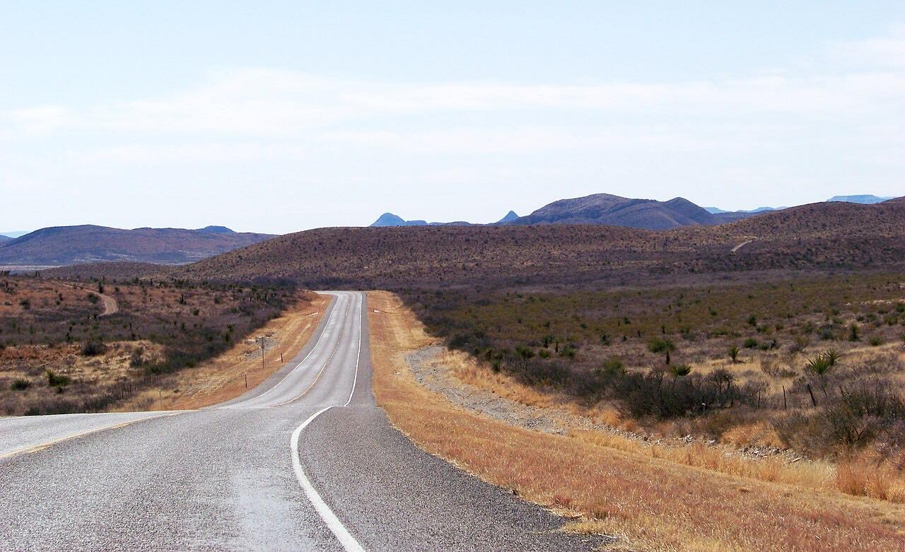 US-385: Marathon to Persimmon GapLeisurely · US 385 · 39 mi · 40 min
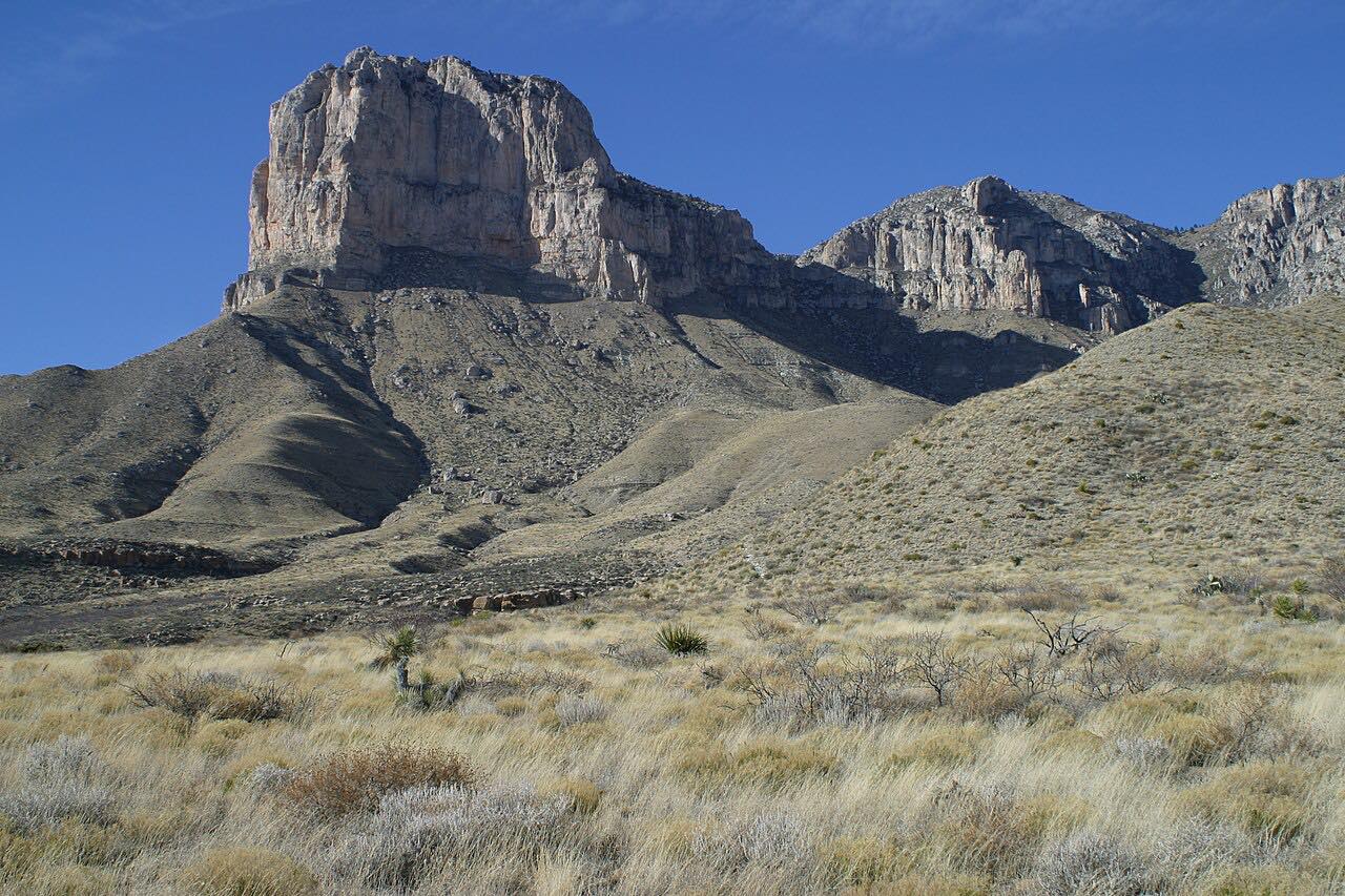 US-62/180: Guadalupe MountainsLeisurely · US 62, US 180 · 42 mi · 35 min
 US-67: Marfa to PresidioLeisurely · US 67 · 58 mi · 1 hr
 US-90: Amistad to LangtryLeisurely · US 90 · 47 mi · 45 min
 US-90: Marfa to MarathonLeisurely · US 90, US 67 · 56 mi · 1 hr
Corpus Christi, the Coastal Bend and the Rio Grande Valley
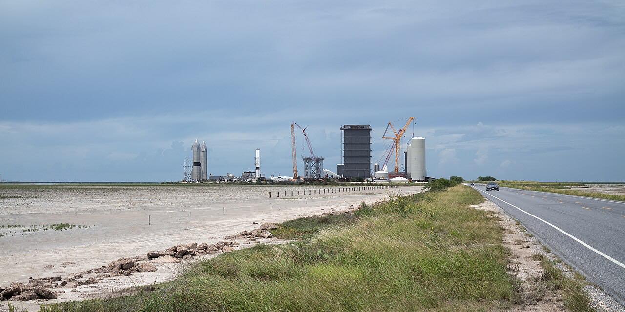 Highway 4: Boca ChicaLeisurely · TX 4 · 17.3 mi · 25 min
 Mustang and Padre IslandsLeisurely · TX 361, Park Road 22 · 28 mi · 55 min
 Shoreline Boulevard and Ocean DriveLeisurely · Shoreline Boulevard, Ocean Drive · 7.9 mi · 15 min
 South Padre Island: Park Road 100Leisurely · TX 100, Padre Boulevard · 13.2 mi · 25 min
Dallas–Fort Worth and North Texas
FM 4: Santo to Palo PintoSweeping · FM 4 · 13.2 mi · 20 min
 FM 730 and FM 455: Decatur to ForestburgLeisurely · FM 730, FM 455 · 24 mi · 30 min
 Highway 16: Strawn to Possum KingdomLeisurely · TX 16, FM 2353 · 34 mi · 40 min
 Paluxy Highway: Granbury to Glen RoseLeisurely · FM 51, FM 205 · 23 mi · 35 min
East Texas and the Piney Woods
 Caddo Lake: Jefferson to UncertainLeisurely · FM 134, FM 2198 · 16.6 mi · 20 min
 El Camino Real: Alto to CrockettLeisurely · TX 21 · 32 mi · 35 min
FM 1375 and Highway 150Leisurely · FM 1375, TX 150 · 32 mi · 40 min
FM 314 and FM 315: Edom to PalestineLeisurely · FM 314, FM 315 · 45 mi · 55 min
 FM 729: Lake O' the PinesLeisurely · FM 729 · 22 mi · 30 min
FM 768: Jacksonville to RuskSweeping · FM 768, Corinth Road · 15.6 mi · 25 min
FM 852: Winnsboro to GilmerLeisurely · FM 852, Gilmer Road · 26 mi · 40 min
Highway 147: Zavalla to San AugustineLeisurely · TX 147 · 33 mi · 40 min
 Sam Rayburn Parkway: RR 255Leisurely · FM 255 · 29 mi · 30 min
Houston, Galveston and the Gulf Coast
Bellville to Round TopLeisurely · TX 159, FM 1457 · 29 mi · 35 min
 FM 149: Montgomery to AndersonLeisurely · FM 149 · 27 mi · 35 min
 FM 390: La Bahia RoadLeisurely · FM 390 · 17.4 mi · 30 min
 Galveston to Surfside: Bluewater HighwayLeisurely · FM 3005, CR 257 · 33 mi · 40 min
Highway 87: Bolivar PeninsulaLeisurely · TX 87, TX 124 · 24 mi · 30 min
 Seawall Boulevard, GalvestonLeisurely · Seawall Boulevard · 6.6 mi · 20 min
The Texas Panhandle and the Caprock
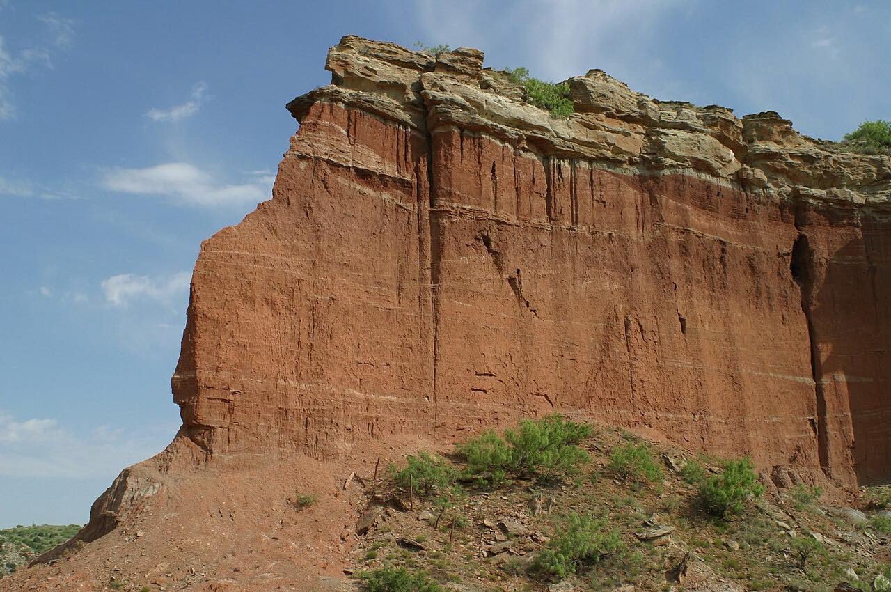
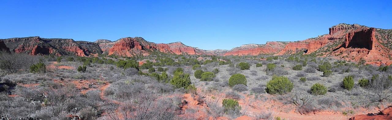
What you get in the app
Turn by turn, on this roadSpoken directions along the exact route. Carve never reroutes you onto a faster one.
Preview it in 3DFly the whole drive over satellite and terrain before you go.
Drive it with no signalAPEXDownload the map and every turn before you go.
Live Group TrackingAPEXEveryone on the route, on the map, by name.
Road conditionsAPEXWet or dry, ice, fog and wind along the road before you go.
Record your drivesAPEXRecord a drive and turn it into a route to drive again or share.
Free on iPhone and Android. CarPlay and Android Auto come with Apex.