Drives Texas Austin, San Antonio and the Hill Country
Scenic Loop Road
Scenic Loop Road · Helotes → Scenic Loop Road near Boerne

The drive
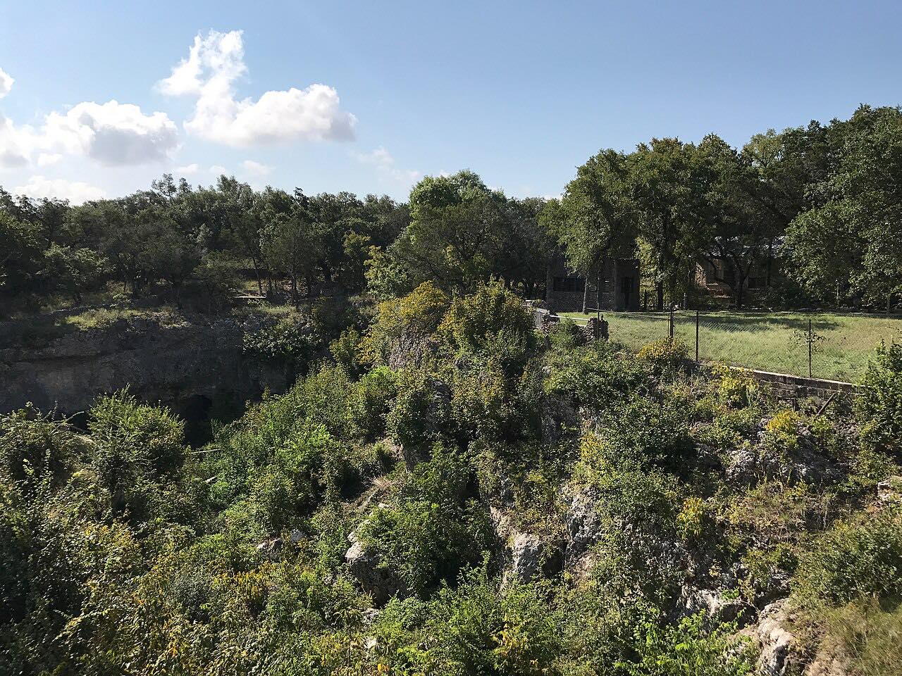
Scenic Loop Road leaves Helotes, on the northwest edge of San Antonio, and runs north toward Boerne through the oak and juniper hills of the eastern Hill Country. It is a string of tight, rolling curves with short rises and drops.
The road was built as a touring route for San Antonians in the 1920s, and it still draws the weekend crowd. Cyclists, hikers and joggers use it, and motorcyclists treat it as a favorite local ride. The first three miles, from Helotes up toward Grey Forest, have narrow shoulders, so the drive is best taken at an easy pace.
The drive ends on Scenic Loop Road near Boerne, about 13 miles on.
Along the way
- Helotes (Scenic Loop Road)
- Scenic Loop Road near Boerne
Good to know
- Expect cyclists, runners and motorcyclists, especially on weekends, and narrow shoulders for the first few miles.
- Heavy rain can flood creeks and low spots in the Hill Country; check road status after storms.
Open all year, weather permitting. Roads close for snow, fire, storms and repairs: before you set off, check TxDOT DriveTexas.
Questions about this drive
How long is Scenic Loop Road from Helotes to Boerne?
Scenic Loop Road from Helotes to near Boerne is 13 miles and takes about 30 minutes.
Is Scenic Loop Road good for motorcycles?
Yes. Scenic Loop Road is a favorite with local riders for its rolling curves, but cyclists and hikers share it and the shoulders are narrow in places.
Why is it called Scenic Loop Road?
It was built as a touring route for San Antonians in the 1920s, a winding byway through the hills north of the city.
What you get in the app
Free on iPhone and Android. CarPlay and Android Auto come with Apex.
More drives near here


Distance, time, elevation, curves and intensity are from Carve's route. Checked 2026-10-28.