Drives Texas Austin, San Antonio and the Hill Country
Highway 16: Bandera to Kerrville
TX 16, Medina Highway · Bandera → Kerrville

The drive
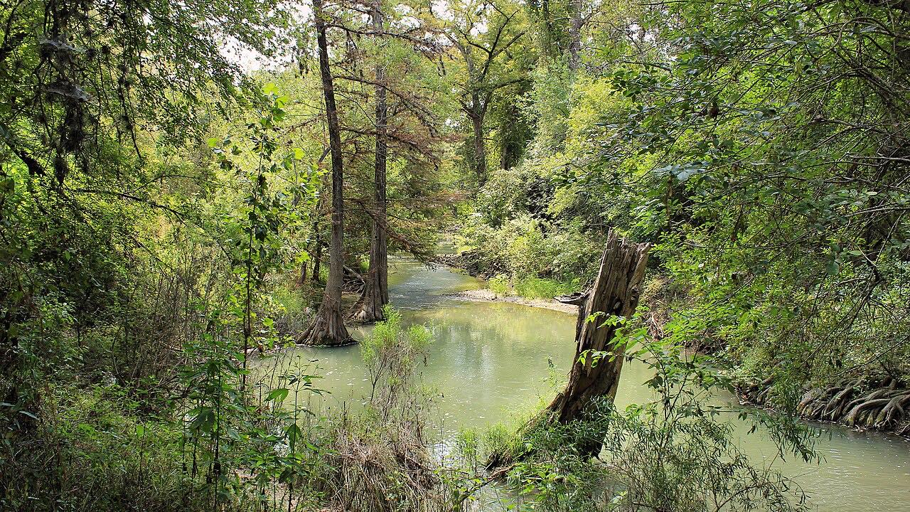
Highway 16 between Bandera and Kerrville is one of the Hill Country's classic rides, linking two of its best-known riding towns. It leaves Bandera, a staging point for cattle drives up the Western Trail in the 1870s and 1880s and now the state's official Cowboy Capital of Texas, where Highways 16 and 173 cross, and heads northwest up the valley of the Medina River.
About 12 miles on it reaches Medina, a small community that calls itself the Apple Capital of Texas, with orchards and a cider mill. Medina is also where RM 337 turns west toward Vanderpool and Leakey. North of town the road leaves the river and climbs over the divide in the drive's one properly twisty stretch, with long views across the hills, before it drops down toward the Guadalupe River and into Kerrville.
Along the way
- Bandera
- Medina
- TX 16
- Kerrville
Good to know
- It's a favorite of weekend motorcyclists from San Antonio and Austin, so expect plenty of bikes on Saturdays and Sundays.
- The tightest curves come on the climb north of Medina; take them at the posted speeds.
- Watch for deer, especially around dawn and dusk.
- Medina is the turnoff for RM 337, the Medina to Leakey drive.
Open all year, weather permitting. Roads close for snow, fire, storms and repairs: before you set off, check TxDOT DriveTexas: road conditions.
Questions about this drive
How long does Highway 16 from Bandera to Kerrville take?
Highway 16 from Bandera to Kerrville is 35.5 miles and takes about 50 minutes without stops.
Is Highway 16 between Bandera and Kerrville twisty?
Mostly it's gentle curves along the Medina River, with one twisty stretch where Highway 16 climbs over the divide north of Medina.
Where does Highway 16 meet the Twisted Sisters roads?
At Medina, about 12 miles north of Bandera on Highway 16, RM 337 heads west toward Vanderpool and Leakey, where the Twisted Sisters loop begins.
Why is Medina called the Apple Capital of Texas?
Medina, on Highway 16 between Bandera and Kerrville, has grown apples since the 1980s and has promoted itself as the Apple Capital of Texas since the end of that decade.
What you get in the app
Free on iPhone and Android. CarPlay and Android Auto come with Apex.
More drives near here

Distance, time, elevation, curves and intensity are from Carve's route. Checked 2026-10-28.