
Drives Texas Big Bend and West Texas
Ross Maxwell Scenic Drive
Ross Maxwell Scenic Drive · Santa Elena Junction → Castolon

The drive
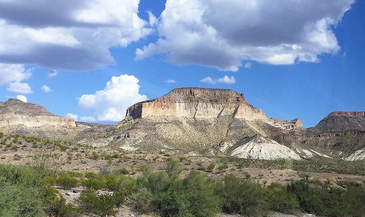
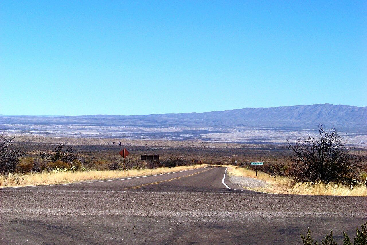
Ross Maxwell Scenic Drive runs down the west side of the Chisos Mountains toward the Rio Grande. It leaves the main park road at Santa Elena Junction and heads south past Sam Nail Ranch, where an old windmill still pumps water and draws birds, and the Homer Wilson Ranch overlook, above the headquarters of what was one of the region's largest ranches.
Then come the big views. Sotol Vista looks out over the whole western side of the park, with Santa Elena Canyon in the distance. The spur to the Lower Burro Mesa Pouroff leads to a dry waterfall in a hidden box canyon, and the Mule Ears Viewpoint looks across to the twin peaks of the same name. Farther on, toward the river, is Tuff Canyon, cut deep and narrow into soft volcanic ash.
It ends at Castolon, which began as a cavalry camp in the early 1900s and later became the headquarters of the La Harmonia Company. The road on past Cottonwood Campground to Santa Elena Canyon is closed for now.
Along the way
- Santa Elena Junction
- Castolon
Good to know
- There's a park entrance fee per vehicle, good for seven days.
- Some services along the road, including the Castolon Visitor Center, close in the summer season; check the park's page before you go.
- The overlooks are short spurs off the road; give yourself extra time to stop at them.
Open all year, weather permitting. Roads close for snow, fire, storms and repairs: before you set off, check National Park Service: Big Bend current conditions.
Questions about this drive
How long does Ross Maxwell Scenic Drive take?
Ross Maxwell Scenic Drive from Santa Elena Junction to Castolon is 22.3 miles and takes about 30 minutes without stops; the overlooks and short trails along the way add time.
Is the road to Santa Elena Canyon open?
Not always. The National Park Service has listed the paved road from Cottonwood Campground to Santa Elena Canyon as closed at times, in which case Ross Maxwell Scenic Drive ends at Castolon. Check the park's road conditions page before you go.
What are the best stops on Ross Maxwell Scenic Drive?
Sotol Vista for the view over the west side of the park, the Mule Ears Viewpoint, and Tuff Canyon, a narrow canyon in volcanic ash with two viewing platforms.
Is Ross Maxwell Scenic Drive paved?
Yes. Ross Maxwell Scenic Drive is paved all the way to Castolon. The gravel Old Maverick Road, an alternative way back to the west entrance, can be impassable after heavy rain.
What you get in the app
Free on iPhone and Android. CarPlay and Android Auto come with Apex.
More drives near here



Distance, time, elevation, curves and intensity are from Carve's route. Checked 2026-10-28.