
Drives Texas Austin, San Antonio and the Hill Country
RR 1431: Jonestown to Marble Falls
RM 1431 · Jonestown → Marble Falls

The drive
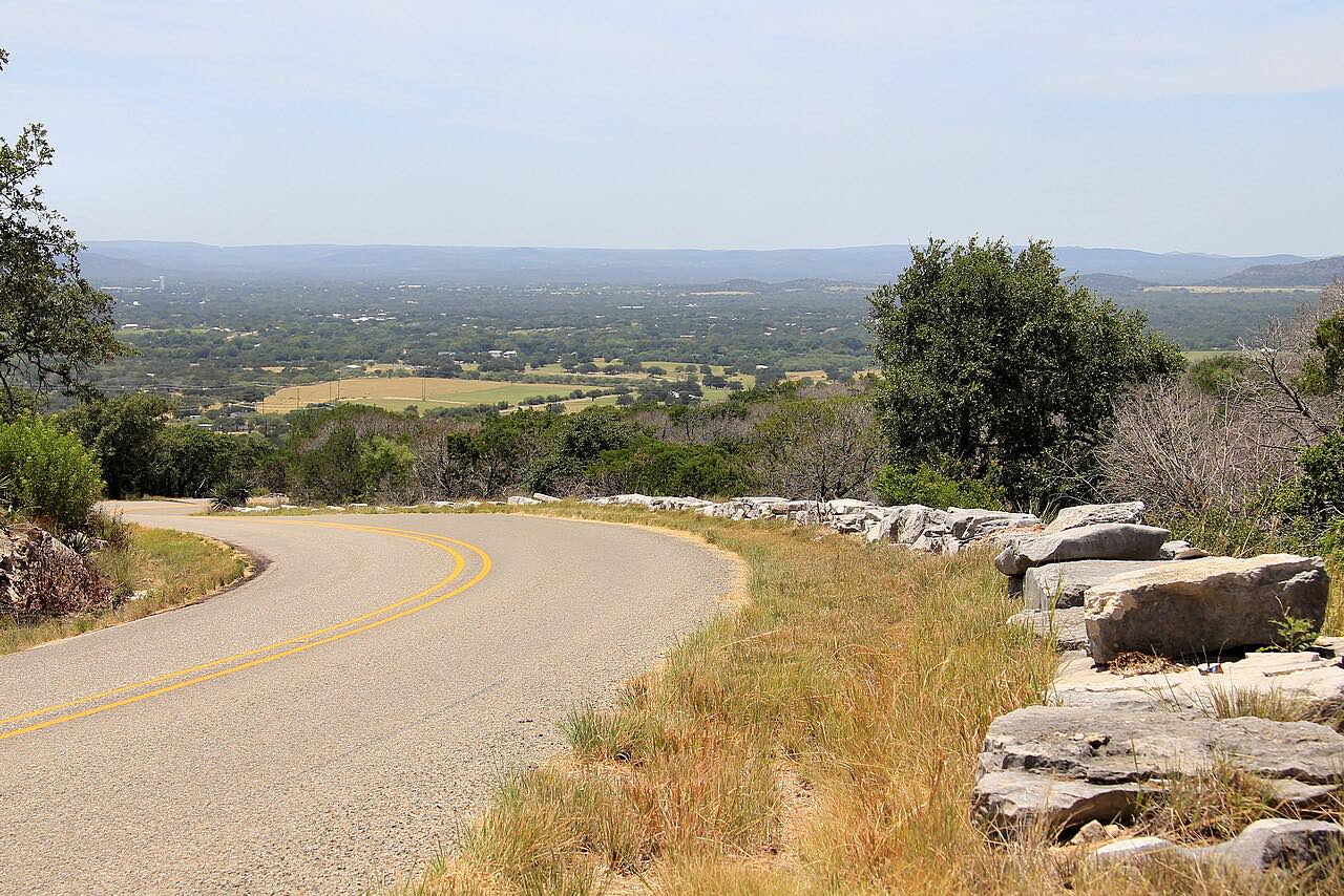
RR 1431 runs along the hills on the north side of Lake Travis, and this drive takes it west from Jonestown, where the Austin suburbs give way to open country. It passes Lago Vista and then the Balcones Canyonlands National Wildlife Refuge, set aside for the golden-cheeked warbler and the black-capped vireo, before reaching Marble Falls and US 281.
The road rides over limestone ridges with long sweepers and short climbs, with glimpses of the lake to the south. Just past Lago Vista is the refuge's Warbler Vista area, the best place on the refuge to look for golden-cheeked warblers in spring and summer. Near Lago Vista, the road crosses Cow Creek on a bridge rebuilt higher after floods destroyed the old one.
Along the way
- Jonestown
- Marble Falls (US-281)
Good to know
- It's busy near the towns, especially at rush hour.
- Warbler Vista, about 1.5 miles west of Lago Vista on the north side of the road, is open sunrise to sunset.
- Flash floods can close low crossings in the Hill Country; the Cow Creek bridge near Lago Vista was rebuilt higher after a flood destroyed it.
Open all year, weather permitting. Roads close for snow, fire, storms and repairs: before you set off, check TxDOT DriveTexas: road conditions.
Questions about this drive
How long does RR 1431 from Jonestown to Marble Falls take?
RR 1431 from Jonestown to Marble Falls is 29.9 miles and takes about 35 minutes.
Is RR 1431 open after the floods?
Usually. Floods have closed RR 1431 at Cow Creek near Lago Vista before; the bridge there was rebuilt higher. Check DriveTexas after heavy rain.
Where can you see golden-cheeked warblers on RR 1431?
Warbler Vista, part of the Balcones Canyonlands National Wildlife Refuge, is on the north side of RR 1431 about 1.5 miles west of Lago Vista; spring and summer are best.
What you get in the app
Free on iPhone and Android. CarPlay and Android Auto come with Apex.
More drives near here



Distance, time, elevation, curves and intensity are from Carve's route. Checked 2026-10-28.