Drives Texas Austin, San Antonio and the Hill Country
RM 1050: Utopia to Garner State Park
RM 1050 · Utopia → US-83 at Garner State Park

The drive
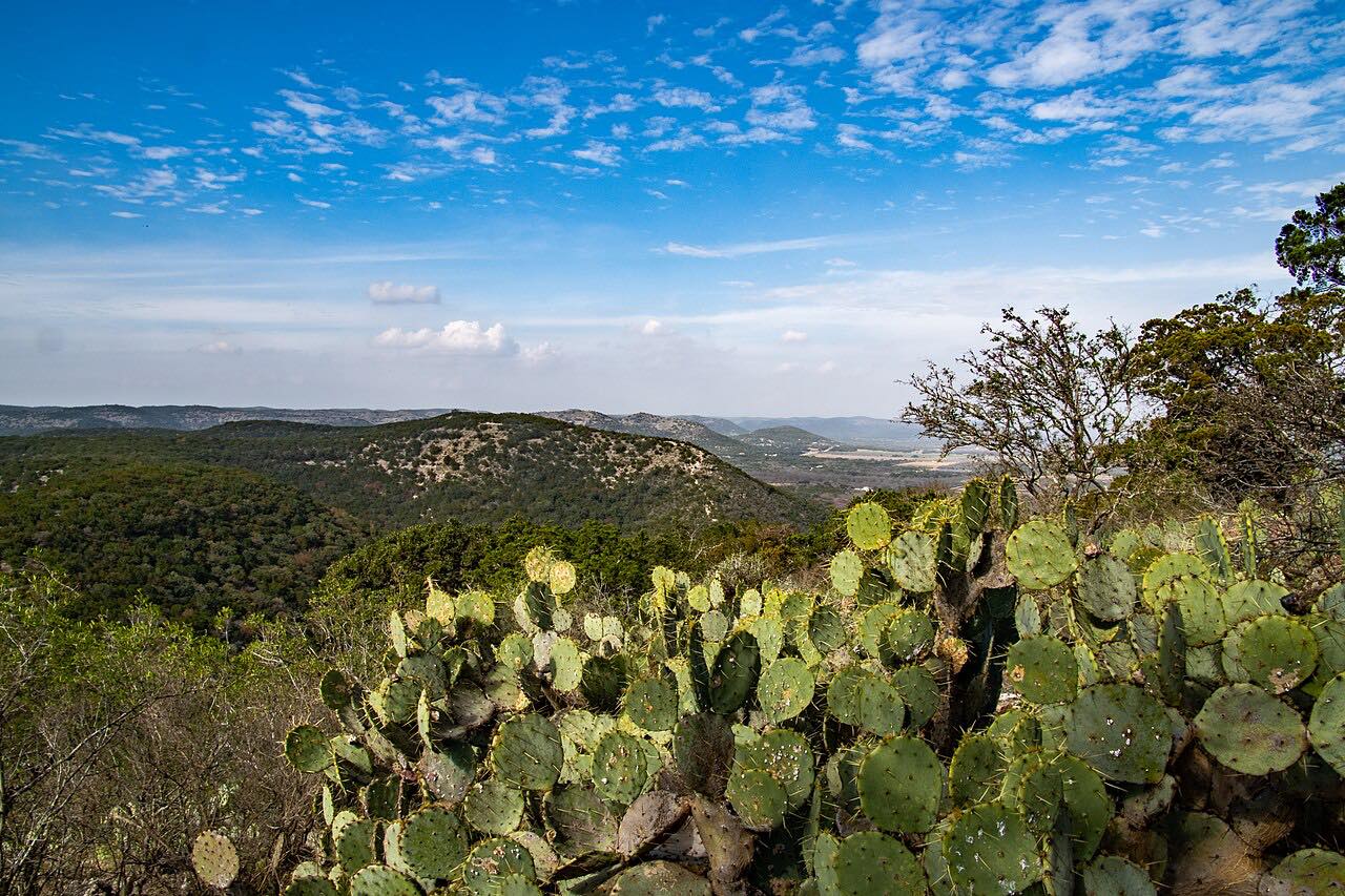
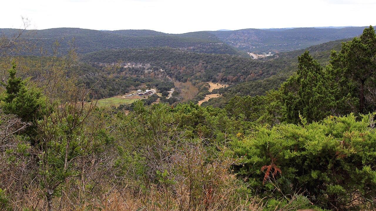
RM 1050 is the short ranch road that links two river valleys: the Sabinal at Utopia and the Frio at Garner State Park. It leaves Utopia, a small town whose city park sits on the bank of the Sabinal, and heads west as a two-lane road winding through the hills, crossing the divide before it comes down to US 83 just above Concan.
The far end is Garner State Park, built by the Civilian Conservation Corps between 1935 and 1941. It holds almost three miles of the Frio River, and since the 1940s visitors have gathered at its concession building on summer evenings to dance to the jukebox. The park's address is on RM 1050 itself, and from US 83 it's a short run north to Leakey and the Twisted Sisters roads.
Along the way
- Utopia
- US-83 at Garner State Park
Good to know
- Watch for deer and livestock on this narrow ranch road.
- Garner State Park charges a daily entrance fee, often reaches capacity, and strongly recommends reserving day passes, especially from Memorial Day to Labor Day.
- The Sabinal and Frio valleys can flood; check road and river conditions before you go.
Open all year, weather permitting. Roads close for snow, fire, storms and repairs: before you set off, check TxDOT DriveTexas: road conditions.
Questions about this drive
How long does RM 1050 from Utopia to Garner State Park take?
RM 1050 from Utopia to US 83 at Garner State Park is 13.9 miles and takes about 25 minutes.
Do you need a reservation for Garner State Park?
Garner State Park, at the west end of RM 1050, often reaches capacity and strongly recommends reserving day passes ahead, particularly in summer and on holidays.
Is RM 1050 a twisty road?
RM 1050 is mostly gentle curves over the hills between the Sabinal and Frio valleys, on a narrow two-lane ranch road.
What's at the end of RM 1050?
RM 1050 ends at US 83 beside Garner State Park on the Frio River, a short drive south of Leakey.
What you get in the app
Free on iPhone and Android. CarPlay and Android Auto come with Apex.
More drives near here



Distance, time, elevation, curves and intensity are from Carve's route. Checked 2026-10-28.