Drives Texas Corpus Christi, the Coastal Bend and the Rio Grande Valley
Highway 4: Boca Chica
TX 4 · Brownsville → Boca Chica Beach

The drive
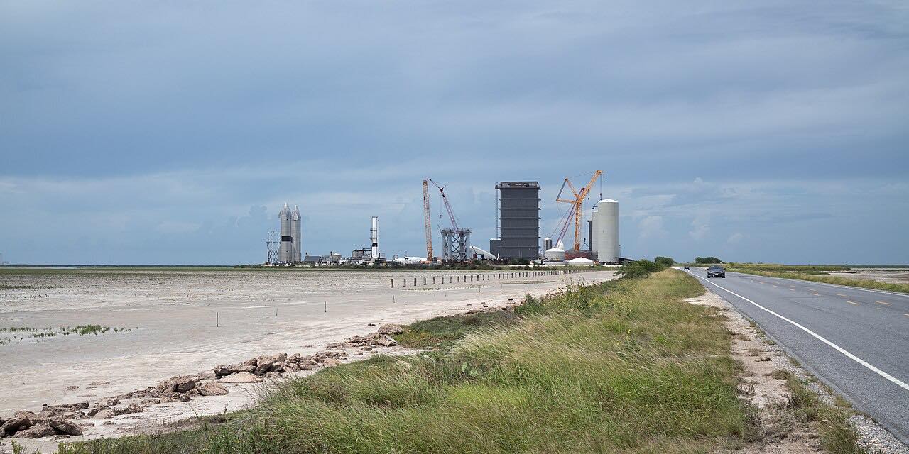
Highway 4 is the only road to Boca Chica Beach, at the southern tip of the Texas coast. It runs east from Brownsville across the flat tidal country of the Rio Grande delta, with tidal flats to both sides and almost no bends at all.
About a dozen miles out it passes the Palmito Ranch battlefield, where the last land battle of the Civil War was fought on May 12 and 13, 1865, a month after Lee's surrender; a state marker and a small viewing platform stand by the road. Farther on, the highway runs through Starbase, the SpaceX launch site that is now its own city, and ends at the beach, near where the Rio Grande meets the Gulf.
Along the way
- Brownsville (FM 511)
- Boca Chica Beach
Good to know
- Highway 4 and the beach close at times for launches and testing; the City of Starbase sets the closures and posts them.
- TxDOT plans to widen about 14 miles of Highway 4 into a four-lane divided highway, so expect work zones once construction starts.
- ATVs and off-road vehicles are banned on the beach, dunes and tidal flats.
Open all year, weather permitting. Roads close for snow, fire, storms and repairs: before you set off, check City of Starbase: Beach and Road Access.
Questions about this drive
How long does Highway 4 from Brownsville to Boca Chica Beach take?
Highway 4 from Brownsville to Boca Chica Beach is 17.3 miles and takes about 25 minutes.
Is Boca Chica Beach open?
Boca Chica Beach and Highway 4 close at times for SpaceX launches and tests; the City of Starbase's Beach and Road Access page shows the current status.
Who closes Highway 4 to Boca Chica?
The City of Starbase can close Highway 4 and Boca Chica Beach for launches and testing, and posts the closures.
What is the Palmito Ranch battlefield?
Palmito Ranch, beside Highway 4 east of Brownsville, is where the last land battle of the Civil War was fought, on May 12 and 13, 1865.
What you get in the app
Free on iPhone and Android. CarPlay and Android Auto come with Apex.
More drives near here


Distance, time, elevation, curves and intensity are from Carve's route. Checked 2026-10-28.