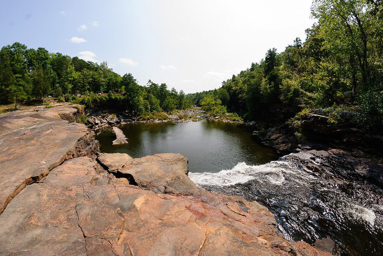
Lookout Mountain Parkway: Mentone
County Road 89, DeSoto Parkway, Desoto Parkway · Fort Payne → Mentone

The drive
County Road 89 leaves AL 35 on top of Lookout Mountain above Fort Payne and runs north along the plateau to Mentone, 13.5 miles. It's rated sweeping, with two twisty stretches near the end. Garden & Gun describes the wider Lookout Mountain Parkway as a leisurely drive on two-lane rural roads along the ridge.
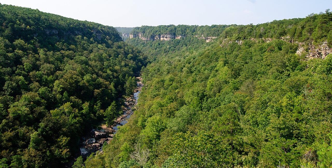
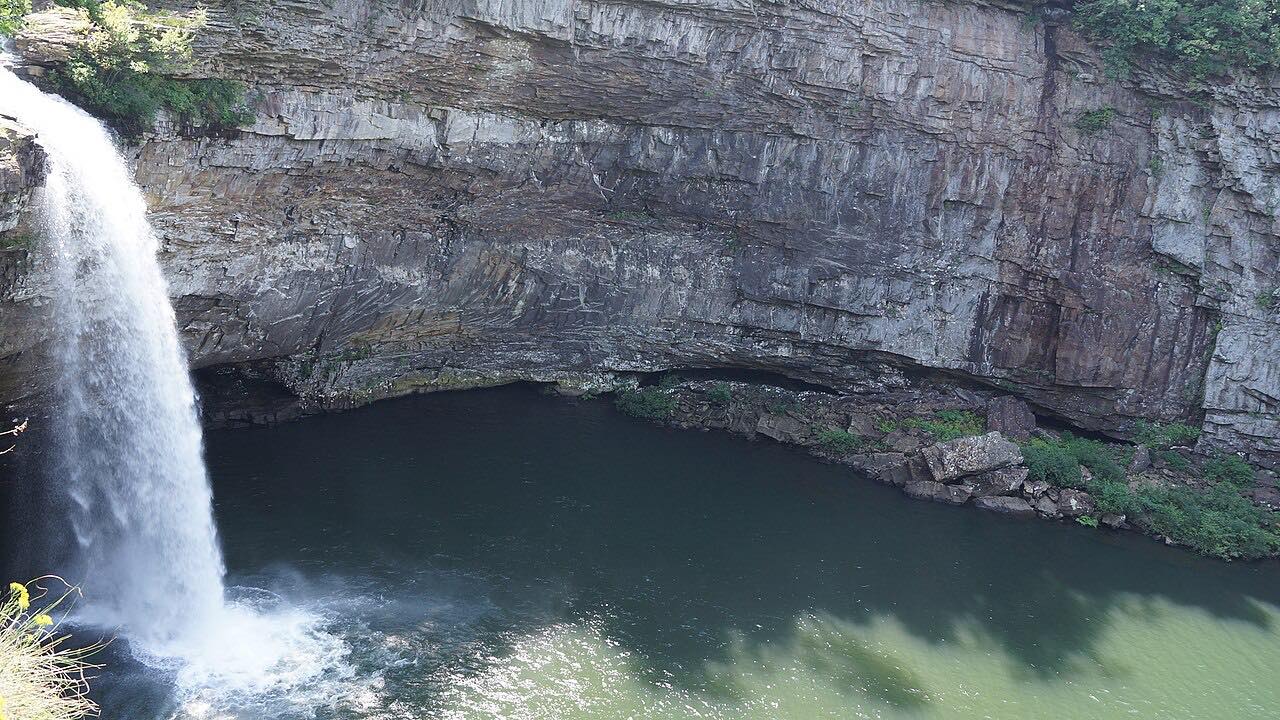
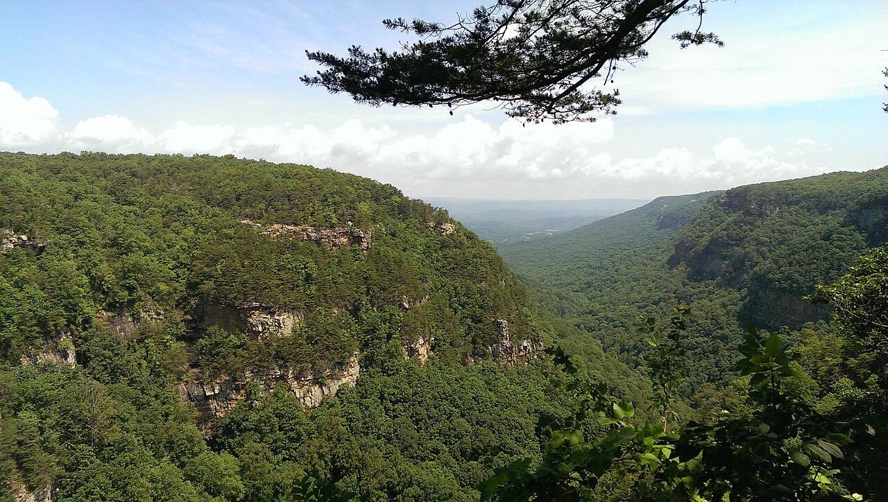
DeSoto State Park is on the way, on Lookout Mountain about eight miles northeast of Fort Payne. It has many waterfalls, a 104-foot DeSoto Falls nearby, and a lodge with a restaurant, and Garden & Gun notes 13 miles of trails leading to smaller falls and wildflowers. Mentone is a tiny town in deep woods with mountaintop views. The center of town sits on the crest of the mountain at 1,736 feet.
Along the way
- Fort Payne (AL 35)
- DeSoto State Park
- County Road 89
- Mentone
Good to know
- The DeSoto State Park site warns that GPS directions to the park can be unreliable and points to its written driving directions.
- The DeSoto State Park lodge front desk is staffed around the clock all year.
Open all year, weather permitting. Roads close for snow, fire, storms and repairs: before you set off, check Alabama State Parks: DeSoto State Park.
Questions about this drive
How long does the Lookout Mountain Parkway to Mentone take?
The drive from Fort Payne to Mentone on County Road 89 is 13.5 miles and takes about 25 minutes.
Where is DeSoto State Park?
DeSoto State Park sits on Lookout Mountain about eight miles northeast of Fort Payne, near Mentone, and this drive passes it.
Is the Lookout Mountain Parkway twisty?
It's mostly gentle with two twisty stretches, a quiet winding road along the mountaintop.
What you get in the app
Free on iPhone and Android. CarPlay and Android Auto come with Apex.
More drives near here


Distance, time, elevation, curves and intensity are from Carve's route. Checked 2026-10-28.