

The drive
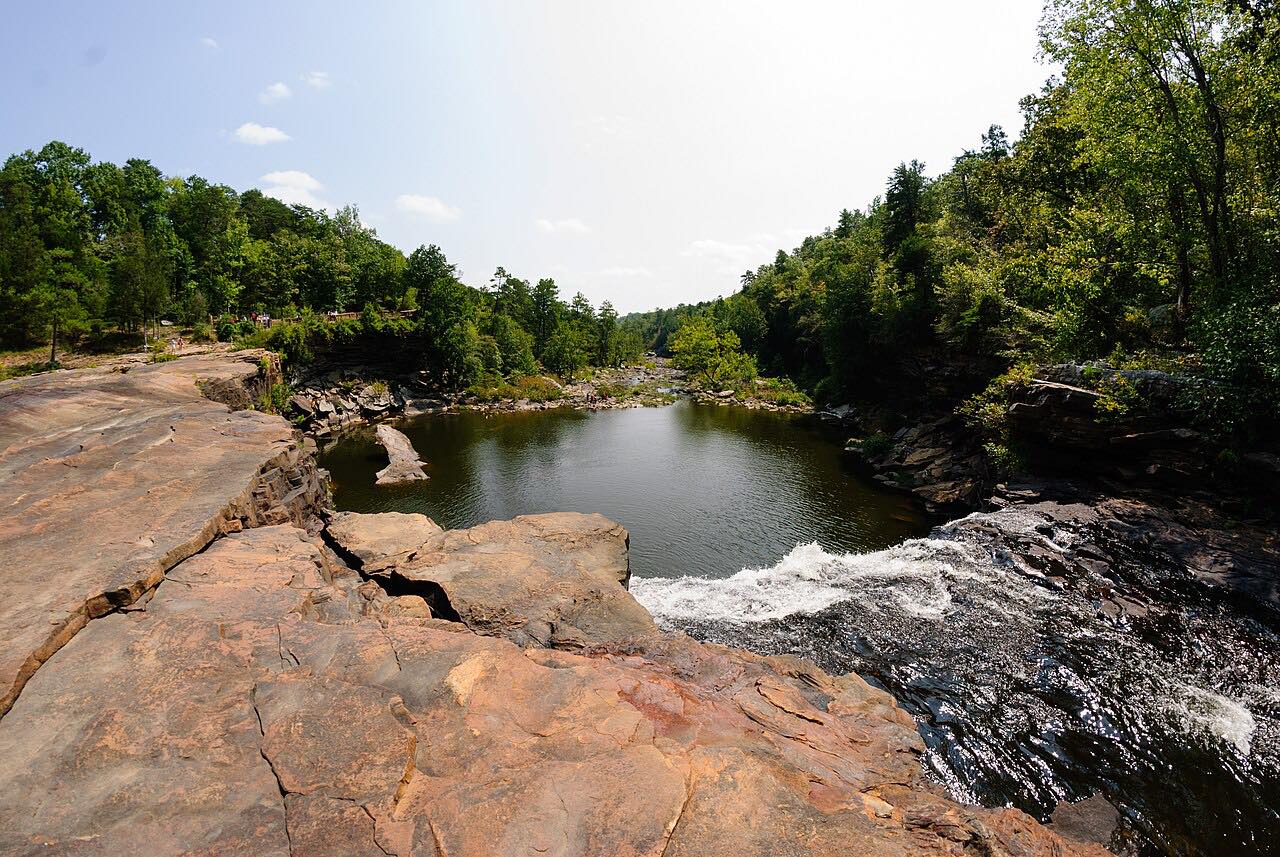
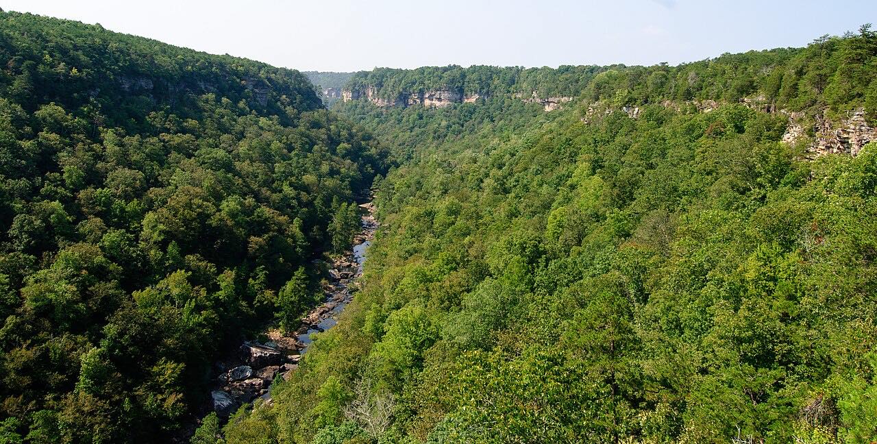
This is the road along the north shore of the Tennessee River's Lake Guntersville. It starts in Guntersville on Highway 227, heads toward Guntersville State Park near Spring Creek Marina, crosses a bridge and winds through ridges and hollows to Langston. There the road merges with the Highway 67 corridor, which follows the Tennessee River toward Scottsboro.
Riders on motorcycleroads.com describe easy, flowing curves, lake and river views for most of the way, and hardwood canopy that turns in fall. It is not a hard-leaning road: the bends are moderate, traffic is light, and the draw is the quiet. The 30.6 miles take about 45 minutes with a stop or two for the view.
Guntersville State Park, on the lake, has a lodge, cabins, camping and trails if you want to make a day of it.
Along the way
- Guntersville (Highway 227)
- Scottsboro
Good to know
- Services are few between Guntersville and Scottsboro, with a handful of small general stores, so fuel up first.
- Pavement between Guntersville and Langston has been reported rougher than the section beyond, with a few potholes.
- Highway 227 carries you only as far as Langston; beyond it the route follows Highway 67 and county roads along the river into Scottsboro.
Open all year, weather permitting. Roads close for snow, fire, storms and repairs: before you set off, check ALGO Traffic (ALDOT).
Questions about this drive
How long does Highway 227 from Guntersville to Scottsboro take?
Highway 227 and the road beside the Tennessee River from Guntersville to Scottsboro is 30.6 miles and takes about 45 minutes.
Is Highway 227 near Guntersville twisty?
It is moderate: riders describe easy, flowing curves with a few tighter sections between Guntersville and Langston. Expect bends rather than hairpins.
Does Highway 227 go past Guntersville State Park?
Yes. The Guntersville to Scottsboro ride heads out of Guntersville on Highway 227 toward Guntersville State Park near Spring Creek Marina.
Are there gas stations on the Guntersville to Scottsboro drive?
Very few. Riders report only a handful of small general stores along the way, so fill the tank in Guntersville or Scottsboro.
What you get in the app
Free on iPhone and Android. CarPlay and Android Auto come with Apex.
More drives near here

Distance, time, elevation, curves and intensity are from Carve's route. Checked 2026-10-28.