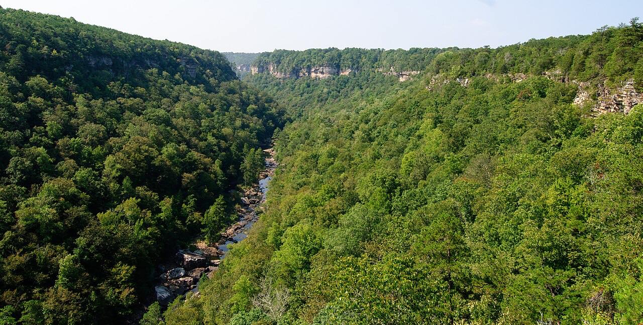

The drive
Alabama Highway 176, the Little River Canyon Rim Parkway, runs south from Little River Falls on AL 35 along the rim of Little River Canyon National Preserve. This drive covers 13.7 miles to Lickskillet, with three twisty stretches among mostly moderate curves.
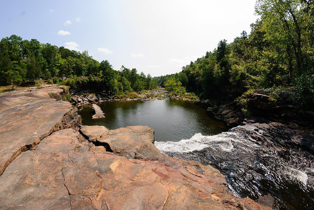
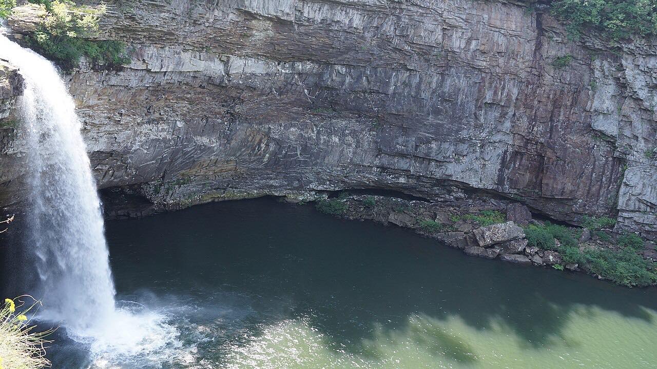
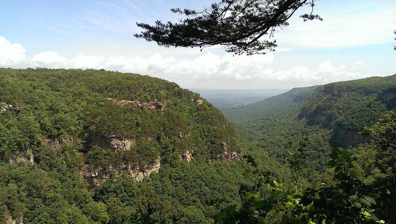
The preserve protects Little River, which flows for most of its length atop Lookout Mountain, along with forested uplands, waterfalls, canyon rims, bluffs and sandstone cliffs. The parkway has many lookout points over the canyon, plus smaller canyons such as Bear Creek, Dees Branch and Johnnies Creek. Wikipedia notes sharp curves and some sharp drop-offs at the canyon edge.
Along the way
- Little River Falls (AL 35)
- Little River Canyon Parkway
- Wolf Creek Overlook
- Lickskillet
Good to know
- Entrance passes are required only at Canyon Mouth Park, not on the parkway itself.
- Wikipedia notes sharp curves and some sharp drop-offs at the canyon edge, and steep grades near Johnnies Creek.
- Thunderstorms can develop quickly in summer; the park advises going indoors when thunder is heard.
Open all year, weather permitting. Roads close for snow, fire, storms and repairs: before you set off, check Little River Canyon National Preserve: Alerts and Conditions.
Questions about this drive
How long does the Little River Canyon Rim Parkway take?
The drive from Little River Falls to Lickskillet on Alabama 176 is 13.7 miles and takes about 30 minutes without stops.
Is there a fee to drive the Little River Canyon Rim Parkway?
The preserve's fee page says entrance passes are required only at Canyon Mouth Park, which is not on this drive.
Is the Little River Canyon Rim Parkway twisty?
It's mostly moderate with three twisty stretches, and there are sharp curves near the canyon edge.
What you get in the app
Free on iPhone and Android. CarPlay and Android Auto come with Apex.
More drives near here


Distance, time, elevation, curves and intensity are from Carve's route. Checked 2026-10-28.