
The drive
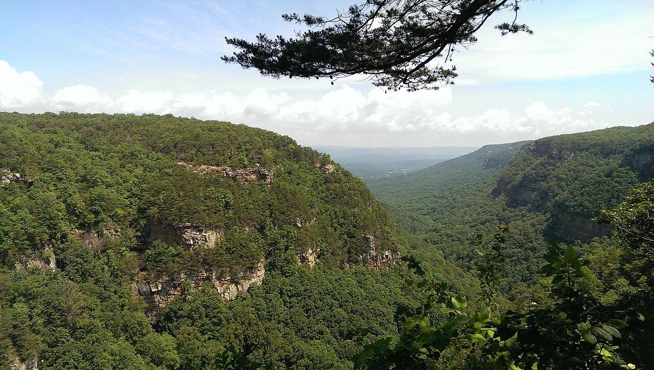
This is the short way up Lookout Mountain from Fort Payne to Mentone. DeSoto Parkway and County Road 89 climb out of the valley in tight bends through hardwood forest, passing DeSoto State Park on the ridge, then finish on Highway 117 into Mentone. It is only 6.8 miles and about 15 minutes, with two tightly curved stretches on the way up.
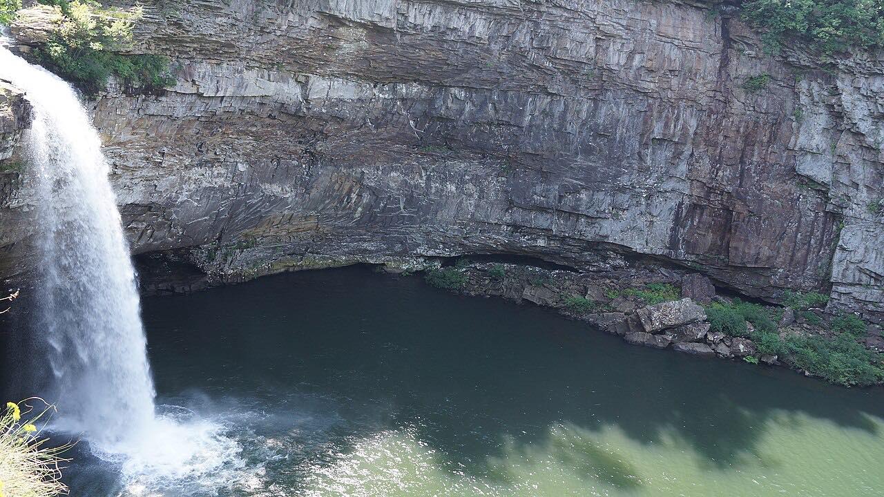
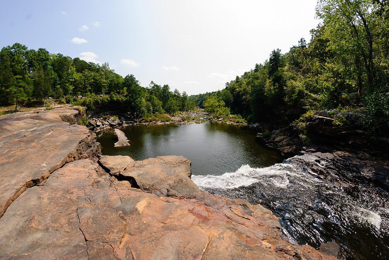
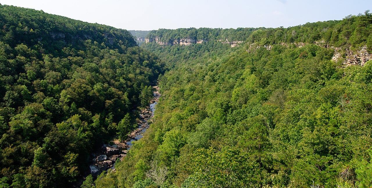
DeSoto State Park covers 3,502 acres of forested mountain, with the West Fork of the Little River running through it and part of the canyon inside its boundary. Civilian Conservation Corps crews built the lodge and most of the 1930s buildings from stone quarried on the property. DeSoto Falls, at 104 feet the tallest waterfall in Alabama, is a separate piece of the park about six miles north, near Mentone, with a paved path to it.
Mentone is a small mountain resort town, and it is where the Lookout Mountain Parkway begins, so this makes a natural first leg of a longer day.
Along the way
- Fort Payne (DeSoto Parkway)
- DeSoto State Park
- Mentone
Good to know
- Expect cyclists and hikers on the road, and tight bends where you will meet them.
- The last half mile into Mentone is on Highway 117.
- DeSoto Falls is a separate part of the state park near Mentone, with a paved path to the falls.
Open all year, weather permitting. Roads close for snow, fire, storms and repairs: before you set off, check ALGO Traffic (ALDOT).
Questions about this drive
How long does the DeSoto Parkway from Fort Payne to Mentone take?
DeSoto Parkway and County Road 89 from Fort Payne to Mentone is 6.8 miles and takes about 15 minutes.
Is the DeSoto Parkway climb up Lookout Mountain twisty?
Yes. It is a twisty drive: mostly gentle curves with two tightly curved stretches on the climb up Lookout Mountain.
Where is DeSoto Falls in relation to DeSoto Parkway?
DeSoto Falls is a separate parcel of DeSoto State Park about six miles north of the main park, near Mentone. It is Alabama's tallest waterfall at 104 feet.
Where does the DeSoto Parkway drive end?
It ends in Mentone, on top of Lookout Mountain, where the Lookout Mountain Parkway drive begins.
What you get in the app
Free on iPhone and Android. CarPlay and Android Auto come with Apex.
More drives near here


Distance, time, elevation, curves and intensity are from Carve's route. Checked 2026-10-28.