Drives Georgia North Georgia and the Upstate
Lookout Mountain: Highway 136
GA 136 · Trenton → GA 193

The drive
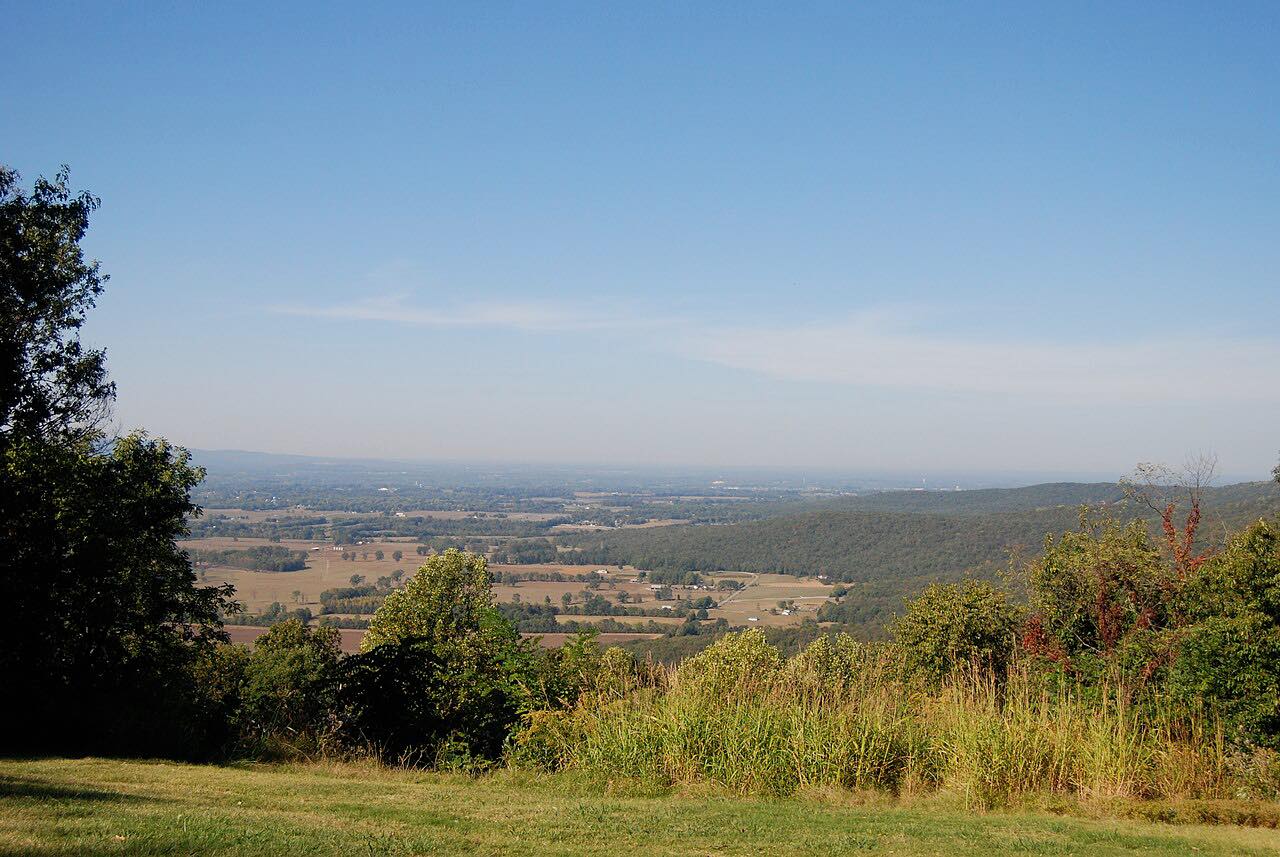
Georgia 136 leaves Trenton, crosses I-59, and climbs Lookout Mountain by switchbacks to about 2,000 feet near the western edge of Cloudland Canyon State Park. This drive is 13.2 miles and takes about 20 minutes, ending at Georgia 193. This stretch is also called the Lookout Mountain Scenic Highway.
The road cuts around the park and across the top of the mountain into Walker County, then turns north and descends toward the east side of the mountain.
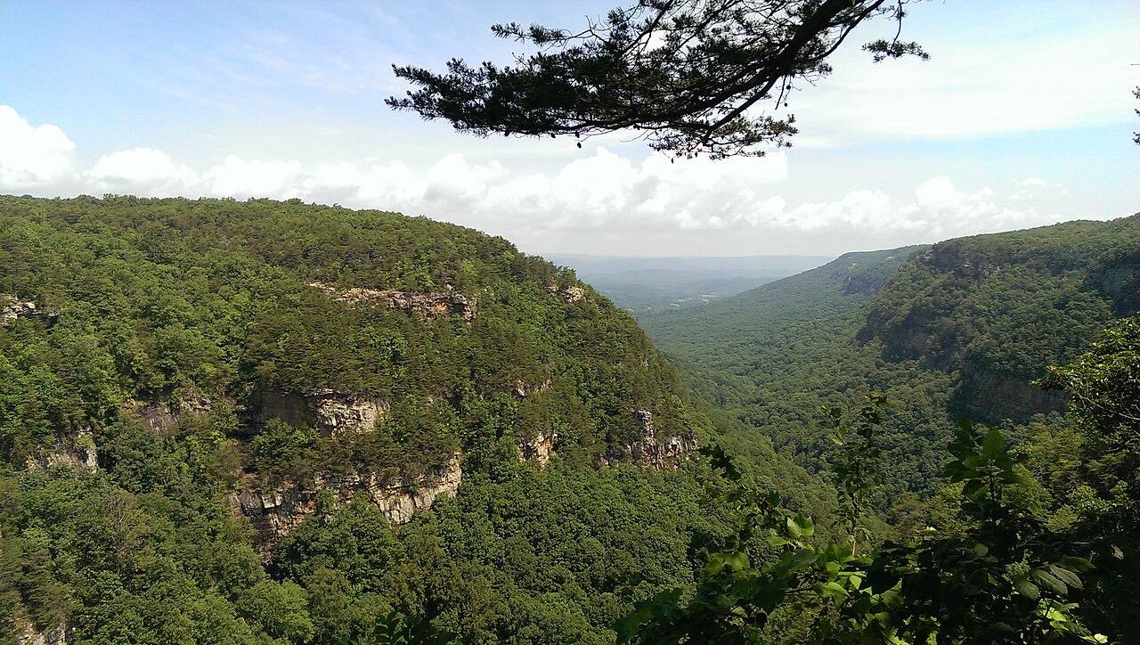
Cloudland Canyon has canyons about a thousand feet deep and waterfalls, with overlooks and the short Overlook Trail and West Rim Loop.
Along the way
- Trenton (US 11)
- Cloudland Canyon State Park
- GA 193
Good to know
- Cloudland Canyon State Park charges a parking fee, and road work at the park entrance means one-lane traffic with flaggers in the daytime.
- Check 511GA for closures before you go.
Open all year, weather permitting. Roads close for snow, fire, storms and repairs: before you set off, check 511GA: Georgia road conditions.
Questions about this drive
How long does Georgia 136 up Lookout Mountain take?
From Trenton to Georgia 193 is 13.2 miles and takes about 20 minutes.
Is there a fee at Cloudland Canyon State Park?
Yes. Georgia State Parks requires a parking fee, and annual passes are available.
Does Georgia 136 have switchbacks?
Yes. It climbs Lookout Mountain by switchbacks out of Trenton.
What is Georgia 136 on Lookout Mountain called?
That section is also called the Lookout Mountain Scenic Highway.
What you get in the app
Free on iPhone and Android. CarPlay and Android Auto come with Apex.
More drives near here

Distance, time, elevation, curves and intensity are from Carve's route. Checked 2026-10-28.