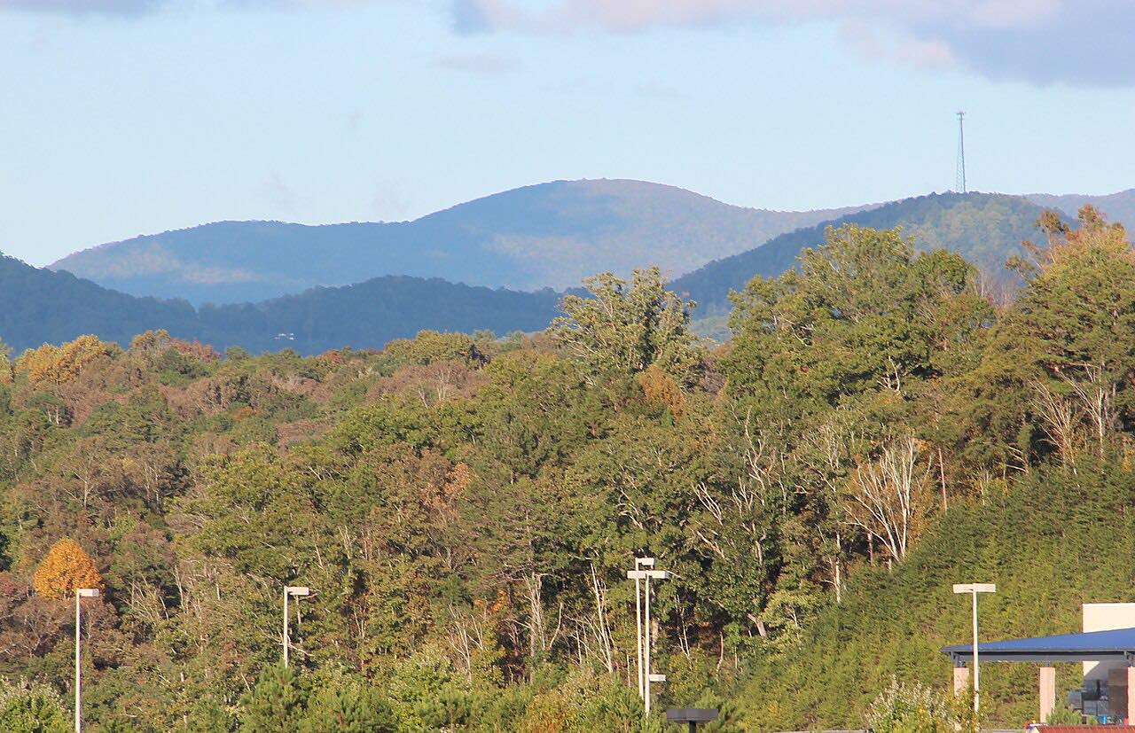
Drives Virginia Roanoke and Southwest Virginia
Back of the Dragon
Park Boulevard, VA 16 · Marion → Tazewell

The drive
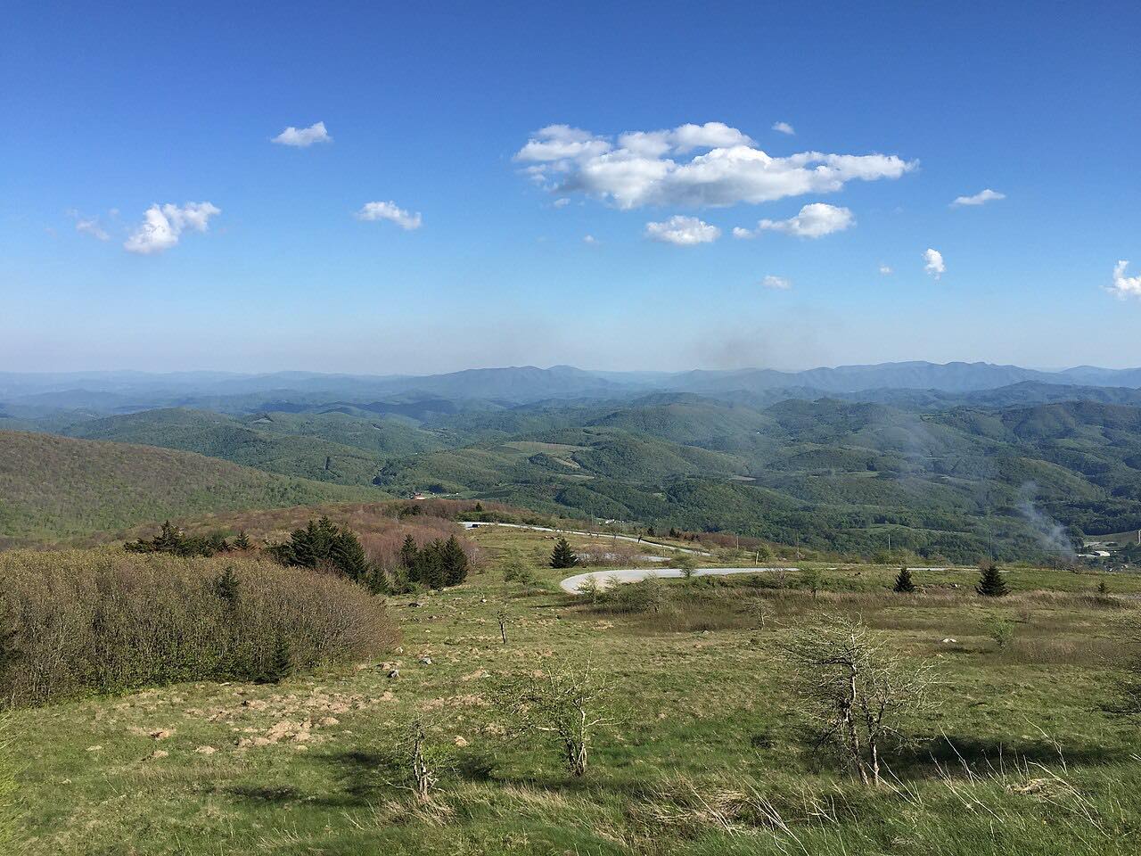
The Back of the Dragon is the stretch of Virginia State Route 16 between Marion and Tazewell, about 32 miles. Southwest Virginia tourism counts over 438 curves, and the road crosses three mountains: Big Walker, Brushy and Clinch. Hungry Mother State Park lies about four miles north of Marion on Route 16.
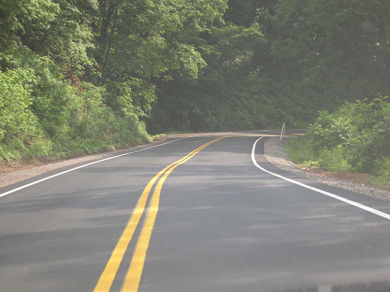
This drive covers 30.3 miles in about 55 minutes and is rated intense. Estimates of the turns range from 260 to 438. Many turns are posted at 15 mph, against a general 55 mph limit.
Along the way
- Marion
- Tazewell
Good to know
- Many turns are posted at 15 mph, while the general limit is 55 mph.
- The road is popular with both car and motorcycle drivers.
- There are pull-offs along the way for views and photos.
Open all year, weather permitting. Roads close for snow, fire, storms and repairs: before you set off, check 511 Virginia: road conditions.
Questions about this drive
How long is the Back of the Dragon?
The Back of the Dragon on Virginia Route 16 is about 32 miles from Marion to Tazewell; this drive is 30.3 miles and takes about 55 minutes.
How many curves does the Back of the Dragon have?
Southwest Virginia tourism counts over 438 curves, though estimates range from 260 to 438.
What mountains does the Back of the Dragon cross?
The Back of the Dragon crosses Big Walker, Brushy and Clinch mountains.
What you get in the app
Free on iPhone and Android. CarPlay and Android Auto come with Apex.
More drives near here


Distance, time, elevation, curves and intensity are from Carve's route. Checked 2026-10-28.