Drives Tennessee Knoxville, Chattanooga and East Tennessee
The Snake: Highway 421
US 421 · Bristol side → Mountain City


The drive
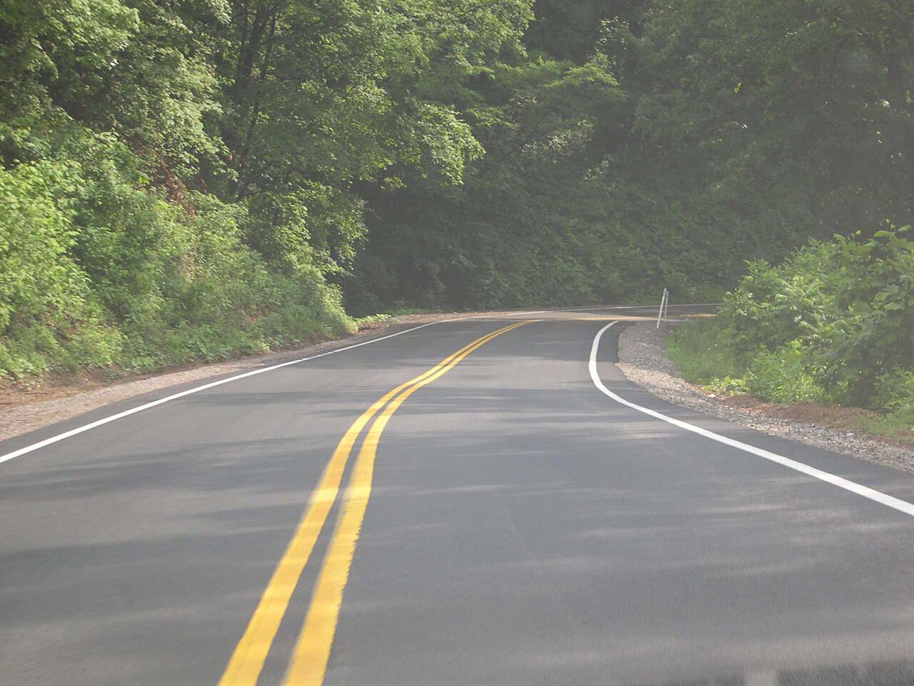
The Snake is US 421 in far northeast Tennessee, driven here from the Bristol side at Pemberton Road to Mountain City. Wikipedia counts more than 400 curves over about 30 miles, and the road runs over two mountain ranges with Shady Valley between them.
From Bristol the road climbs Holston Mountain, drops into the Shady Valley crossroads, then climbs again over Iron Mountain to Mountain City's Main Street. The route is 22.9 miles and climbs about 3,400 feet to a high point near 3,900 feet. It is rated Intense, with three twisty stretches between miles 6 and 20.
Along the way
- Bristol side (Pemberton Road)
- Shady Valley
- Mountain City (Main Street)
Good to know
- Trucks use the whole lane on the tight bends, and there can be gravel at side roads.
- State troopers patrol the road.
- Motorcycle riders use it heavily, so expect them in the curves.
Open all year, weather permitting. Roads close for snow, fire, storms and repairs: before you set off, check TDOT SmartWay.
Questions about this drive
How long does The Snake (US 421) take to drive?
US 421 from Bristol's Pemberton Road to Mountain City is 22.9 miles and takes about 40 minutes.
How many curves are on The Snake?
Wikipedia puts the count at more than 400 curves over about 30 miles of US 421 between Mountain City and Bristol.
Is US 421 The Snake open?
It is normally open, but storms and repairs can close mountain roads in this region. Check TDOT SmartWay before you go.
What you get in the app
Free on iPhone and Android. CarPlay and Android Auto come with Apex.
More drives near here
 Highway 91: Elizabethton to Shady ValleySweeping · SR 91 · 22 mi
 Highway 58: Damascus to VolneyIntense · Highlands Parkway, Jeb Stuart Highway · 34 mi
 Watauga Lake: Hampton to Mountain CityLeisurely · US 321, TN 67 · 28 mi
 Mount Rogers Scenic Byway: Highway 603Sweeping · Konnarock Road, Fairwood Road · 11.2 mi
Distance, time, elevation, curves and intensity are from Carve's route. Checked 2026-10-28.