
Drives Tennessee Knoxville, Chattanooga and East Tennessee
Highway 91: Elizabethton to Shady Valley
SR 91 · Elizabethton → Shady Valley

The drive
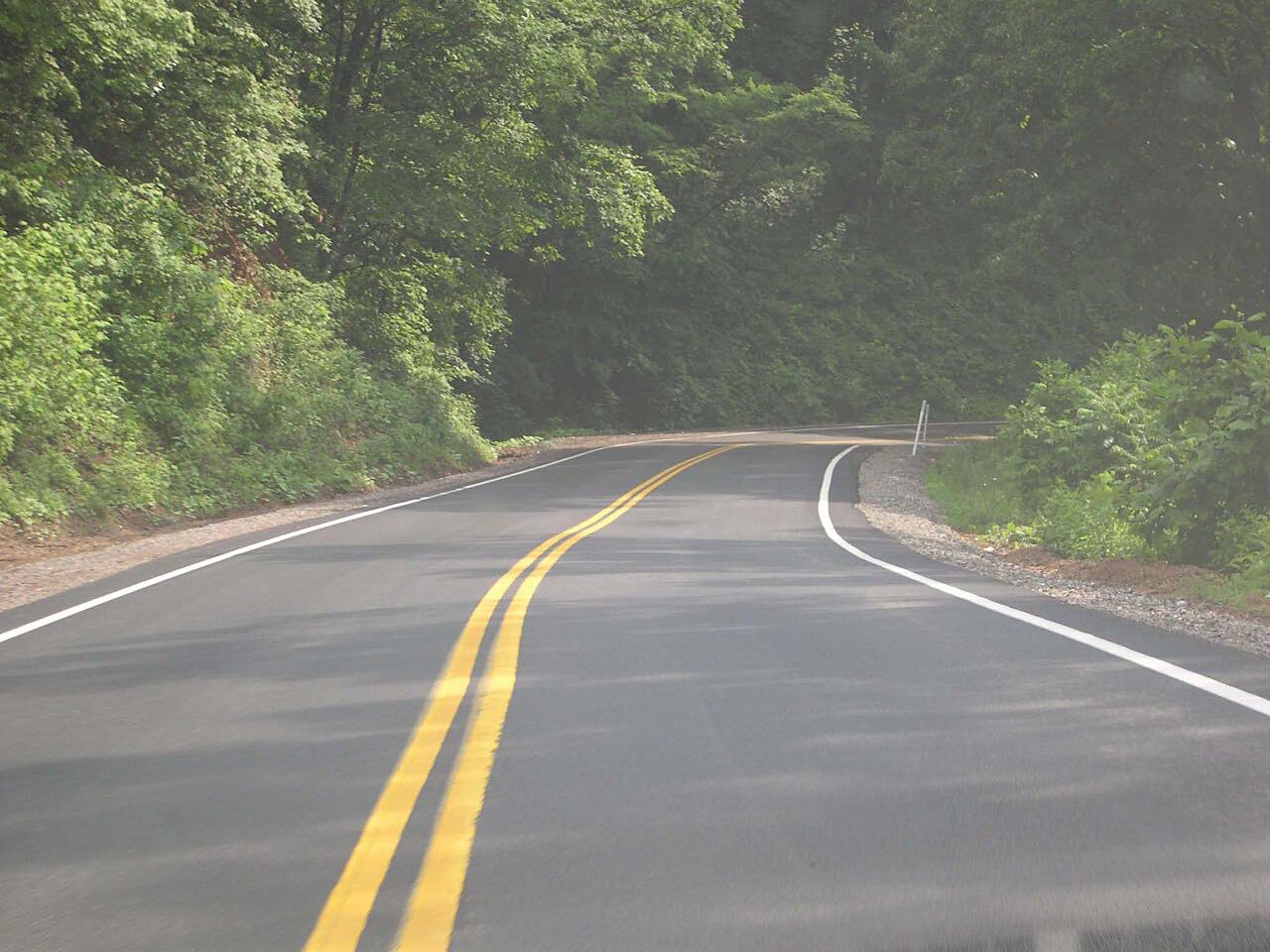
The Forest Service lists this as the TN 91 Scenic Drive. From Elizabethton at US 19E it follows Stony Creek through farmland, framed by Holston and Iron Mountains, to the top of Cross Mountain.
It then drops into Shady Valley, a farming community known for its cranberry bogs. The drive is 21.5 miles, climbs about 2,200 feet to a high point of 3,500 feet, and ends at the Shady Valley crossroads with US 421, where The Snake can be driven either way.
Along the way
- Elizabethton (US 19E)
- Shady Valley (US 421)
Good to know
- The Cross Mountain Trailhead has parking and area information and is a trailhead for the Appalachian Trail.
- Storms such as Hurricane Helene have closed roads in this area; check TDOT SmartWay for current status.
Open all year, weather permitting. Roads close for snow, fire, storms and repairs: before you set off, check TDOT SmartWay.
Questions about this drive
How long does Highway 91 from Elizabethton to Shady Valley take?
Highway 91 from Elizabethton to Shady Valley is 21.5 miles and takes about 35 minutes.
What is the TN 91 Scenic Drive?
The Forest Service describes TN 91 as winding along Stony Creek through farmland, over Cross Mountain and into Shady Valley.
What you get in the app
Free on iPhone and Android. CarPlay and Android Auto come with Apex.
More drives near here




Distance, time, elevation, curves and intensity are from Carve's route. Checked 2026-10-28.