Drives Virginia Roanoke and Southwest Virginia
Highway 58: Damascus to Volney
Highlands Parkway, Jeb Stuart Highway, US 58 · Damascus → Volney

The drive
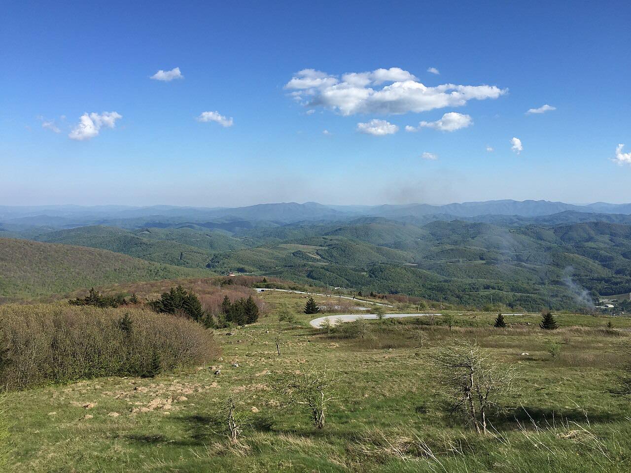
US 58 runs east from Damascus across the high country of southwest Virginia. Along this 34.3-mile drive, junctions lead to Konnarock and Whitetop Mountain, and SR 362 leads to Grayson Highlands State Park, which is near Mount Rogers and Whitetop Mountain. The drive ends at Volney.
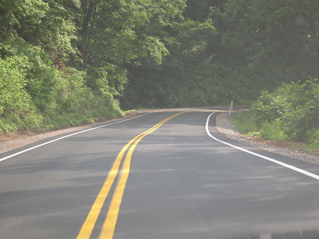
The curves are mostly moderate, with three twisty stretches, and it is rated intense. Hurricane Helene badly damaged a 1.5-mile section between Damascus and Konnarock, which has been rebuilt.
Along the way
- Damascus
- Whitetop
- Grayson Highlands
- Volney
Good to know
- Grayson Highlands State Park is on US 58, about eight miles from Volney; it is open daily 8 a.m. to 10 p.m.
- Wild ponies live on the highlands trails at Grayson Highlands.
- The Virginia Creeper Trail between Whitetop and Damascus is closed because of Helene damage, according to the park's page.
Open all year, weather permitting. Roads close for snow, fire, storms and repairs: before you set off, check 511 Virginia: road conditions.
Questions about this drive
Is US 58 open between Damascus and Konnarock?
Yes. The section that Hurricane Helene destroyed between Damascus and Konnarock has been rebuilt.
How long does Highway 58 from Damascus to Volney take?
It is 34.3 miles and takes about 1 hr 5 min.
Where is Grayson Highlands State Park?
Grayson Highlands State Park is on US 58, about eight miles from Volney.
What you get in the app
Free on iPhone and Android. CarPlay and Android Auto come with Apex.
More drives near here



Distance, time, elevation, curves and intensity are from Carve's route. Checked 2026-10-28.