
Drives Virginia Roanoke and Southwest Virginia
Mount Rogers Scenic Byway: Highway 603
Konnarock Road, Fairwood Road, VA 603 · Konnarock → Troutdale

The drive
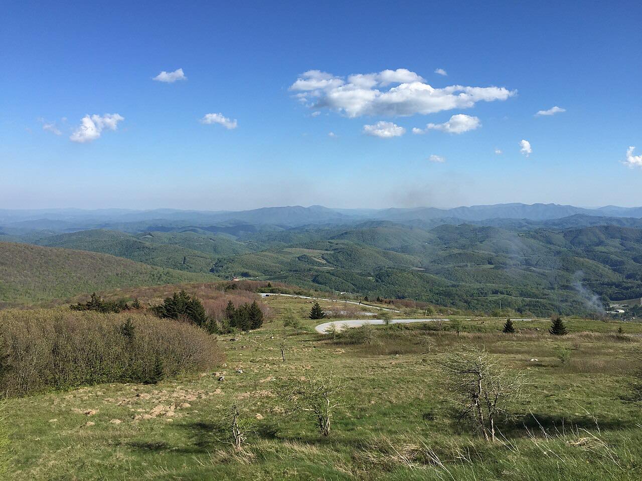
Virginia Route 603 is the Mount Rogers Scenic Byway between Konnarock and Troutdale. It passes through Laurel Valley and Fairwood Valley and crosses the Appalachian Trail. It is a secondary state highway maintained by VDOT.
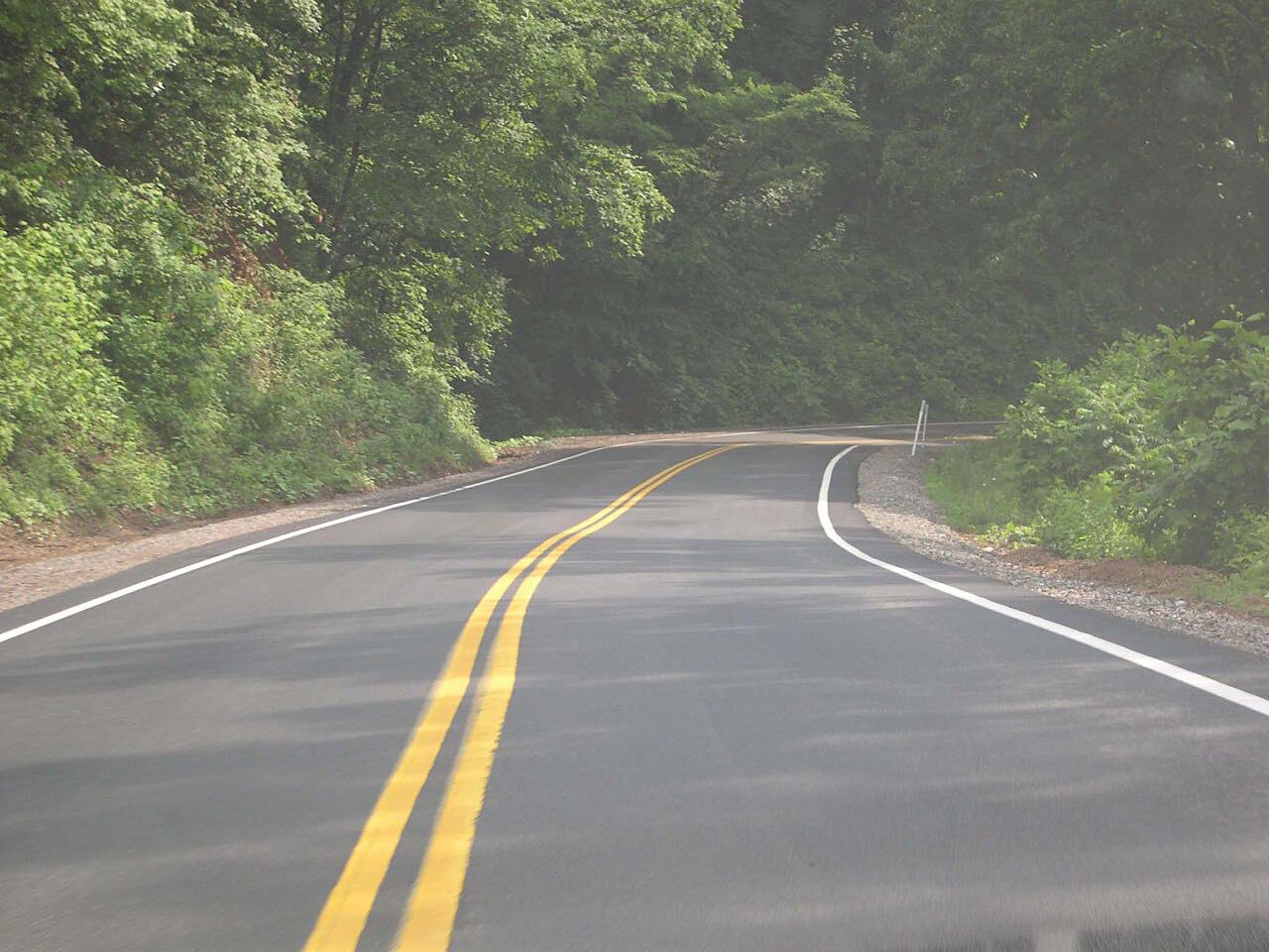
This drive covers 11.2 miles in about 25 minutes, with mostly gentle curves and one twisty stretch. It starts where Konnarock Road leaves US 58 and ends at Troutdale on Route 16.
Along the way
- Konnarock
- Fairwood Valley
- Troutdale (VA-16)
Good to know
- Check 511 Virginia for current conditions.
Open all year, weather permitting. Roads close for snow, fire, storms and repairs: before you set off, check 511 Virginia: road conditions.
Questions about this drive
How long does the Mount Rogers Scenic Byway on Route 603 take?
Route 603 from Konnarock to Troutdale is 11.2 miles and takes about 25 minutes.
What does Route 603 pass?
It passes through Laurel Valley and Fairwood Valley and crosses the Appalachian Trail.
What you get in the app
Free on iPhone and Android. CarPlay and Android Auto come with Apex.
More drives near here


Distance, time, elevation, curves and intensity are from Carve's route. Checked 2026-10-28.