Drives Virginia Roanoke and Southwest Virginia
Burkes Garden Road
VA 623, Burkes Garden Road, Gratton Road · Tazewell → Burkes Garden


The drive
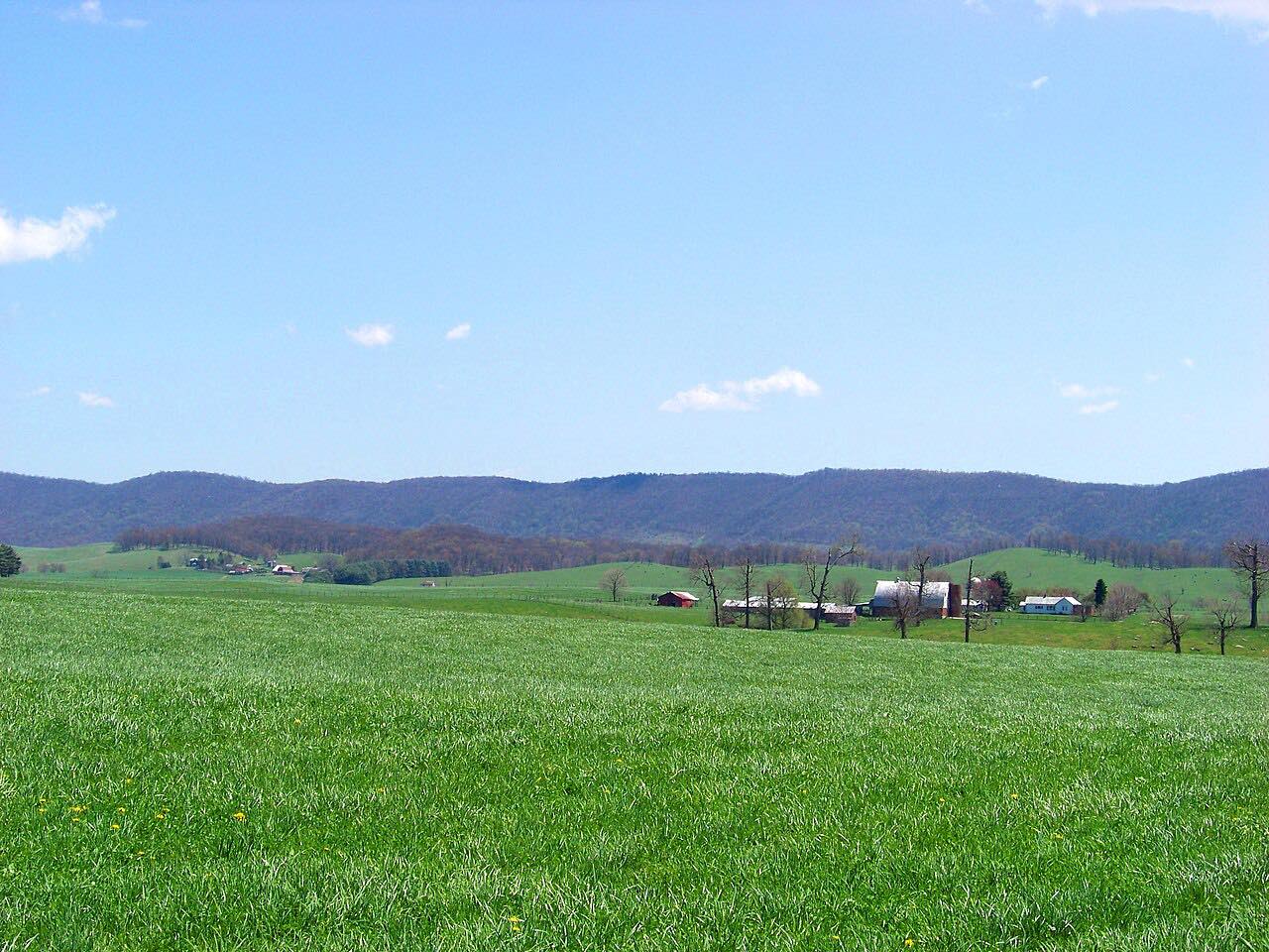
From Tazewell, this drive takes Gratton Road and Burkes Garden Road up and over the rim of Burkes Garden, an oval valley in Tazewell County about 8.5 miles long and 4 miles wide. It is the second highest valley in Virginia, at around 3,000 feet.
Surveyors in 1748 found potatoes growing where one of them, James Burke, had discarded peelings, and the name stuck. The valley is not a crater but a dome-shaped anticline where soft limestone eroded away inside harder ridges. Inside, the land is fertile farmland.
Most of the curves are on the climb. The road ends in the valley, so drivers return the same way.
Along the way
- Tazewell
- Burkes Garden
Good to know
- The road is narrow in places.
- It is a dead-end valley, so plan to return the same way.
- Check VDOT 511 in winter.
Open all year, weather permitting. Roads close for snow, fire, storms and repairs: before you set off, check Virginia 511 (VDOT).
Questions about this drive
How long is the drive to Burkes Garden from Tazewell?
It is 14.6 miles and takes about 31 minutes.
Why is it called Burkes Garden?
Surveyors in 1748 found potatoes growing where James Burke had thrown peelings, and the name stuck.
Is Burkes Garden a crater?
No. It is a dome-shaped anticline, eroded limestone inside harder ridges.
What you get in the app
Free on iPhone and Android. CarPlay and Android Auto come with Apex.
More drives near here
 Back of the DragonIntense · Park Boulevard, VA 16 · 30 mi
 Highway 20: Princeton to HintonLeisurely · WV 20, Oakvale Road · 30 mi
 Mount Rogers Scenic Byway: Highway 603Sweeping · Konnarock Road, Fairwood Road · 11.2 mi
 Highway 58: Damascus to VolneyIntense · Highlands Parkway, Jeb Stuart Highway · 34 mi
Distance, time, elevation, curves and intensity are from Carve's route. Checked 2026-10-28.