Drives California Los Angeles
Mount Baldy Road
San Gabriel Mountains, California · Claremont → Manker Flats

The drive
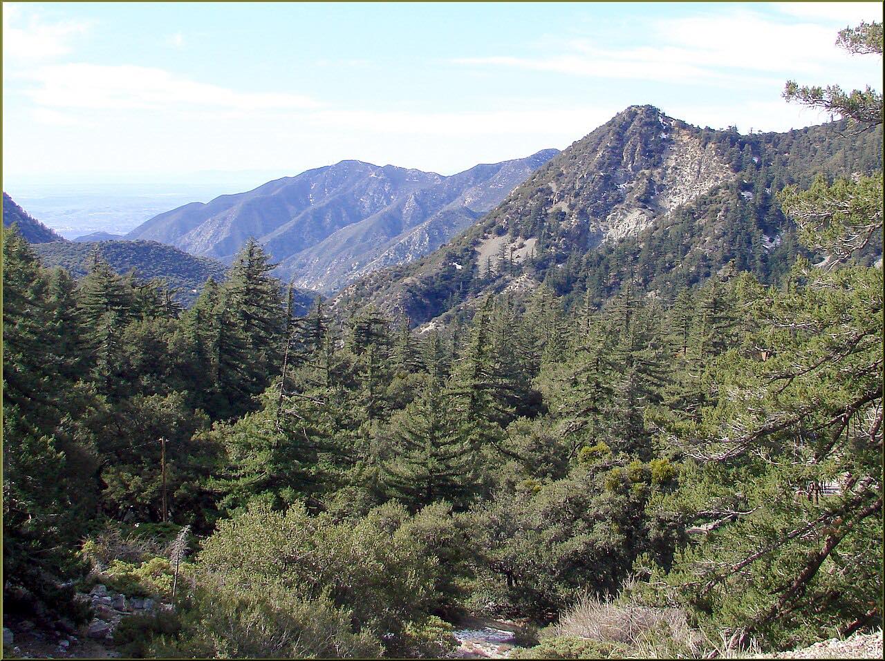
Mount Baldy Road is the only road into San Antonio Canyon and up to Mt. Baldy. It starts in Claremont at the edge of the valley and climbs the canyon in long curves into the San Gabriel Mountains to Mt. Baldy Village, a small mountain community with a Forest Service visitor center in the middle of the village.
Above the village the road steepens and narrows, switchbacking up to Manker Flats and the ski area at Mt. Baldy Resort, at about 6,000 feet. Manker Flats is also where hikers set out for San Antonio Falls and the summit of Mount San Antonio, which everyone calls Mt. Baldy.
It's a dead end, so you come back down the same way, or turn off in the village onto Glendora Ridge Road for the long way back to Glendora. Wildfire has burned close to the village and closed the area for months before.
Along the way
- Claremont
- Mt. Baldy Village
- Manker Flats (Mt. Baldy Resort)
Good to know
- Parking on national forest land, including at Manker Flats, needs an Adventure Pass or an interagency pass; the visitor center in the village sells them.
- After winter storms, chain controls are common, posted from Shinn Road below the village, and snow and ice can close the road; carry chains in winter and start with a full tank.
- On snowy weekends the road is crowded with people heading to the ski lifts and to play in the snow, and the drive up and down can take far longer than usual.
- Cell service is often unavailable in the canyon.
Open all year, weather permitting. Roads close for snow, fire, storms and repairs: before you set off, check LA County Public Works road closures.
Questions about this drive
How long does Mount Baldy Road take?
Mount Baldy Road from Claremont to Manker Flats is 12 miles and takes about 25 minutes, climbing about 4,900 feet.
Do you need chains on Mount Baldy Road?
After winter storms, chains or four-wheel drive are often required on Mount Baldy Road, with controls starting at Shinn Road below the village; carry chains in winter.
Do you need an Adventure Pass at Mt. Baldy?
Yes, to park on national forest land along Mount Baldy Road, including at Manker Flats; an America the Beautiful interagency pass also works.
Is Mount Baldy Road open in winter?
Mount Baldy Road stays open through winter, but snow and ice can close it for a day or two after storms, and chain controls are common.
What you get in the app
Free on iPhone and Android. CarPlay and Android Auto come with Apex.
More drives near here


Distance, time, elevation, curves and intensity are from Carve's route. Checked 2026-10-28.