
Drives California Los Angeles
Santiago Canyon Road
Santa Ana Mountains, California · Orange → Santiago Canyon Road

The drive
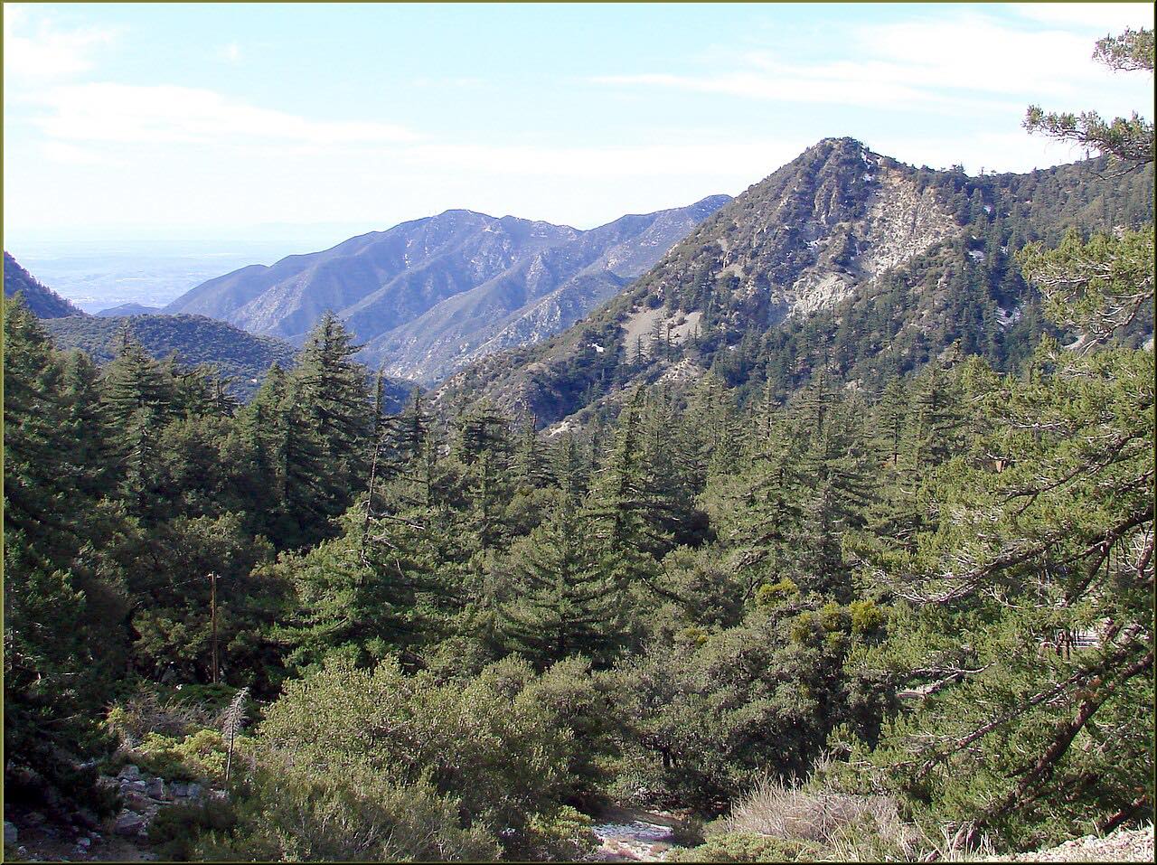
Santiago Canyon Road runs along the foot of the Santa Ana Mountains between Orange and Mission Viejo. In Orange it is Chapman Avenue, and in Mission Viejo it becomes El Toro Road; this drive covers 10.6 miles of it, heading east and uphill through oak and sycamore country at the edge of Cleveland National Forest.
Side roads run into Modjeska Canyon and Silverado Canyon, two small unincorporated communities that each have their own scenic drive. Trails and preserves open off the main road at Whiting Ranch, Red Rock Canyon, Limestone Canyon and Black Star Canyon. Irvine Lake, closed to fishing since 2016, can still be seen from an overlook on the haul road east of its old entrance. The county's outdoors guide calls the road slightly windy and very scenic and relaxing away from the busy stretch.
Along the way
- Orange (Santiago Canyon Road)
- Santiago Canyon Road (east end)
Good to know
- The county's outdoors guide says the road can be dangerous; obey the posted speed limits and wear your seatbelt.
- Cyclists and weekend riders use it heavily.
- Modjeska and Silverado canyons are residential communities with their own narrow roads.
Open all year, weather permitting. Roads close for snow, fire, storms and repairs: before you set off, check OC Public Works: news and closure alerts.
Questions about this drive
How long does Santiago Canyon Road take to drive?
Santiago Canyon Road from Orange to its east end is 10.6 miles and takes about 15 minutes.
Where does Santiago Canyon Road go?
It connects Orange and Mission Viejo along the foot of the Santa Ana Mountains, with turnoffs to Modjeska and Silverado canyons.
Is Santiago Canyon Road twisty?
Only a little. It is rated Leisurely: a fast, rolling two-lane with mostly gentle curves, and the county guide calls it slightly windy.
What you get in the app
Free on iPhone and Android. CarPlay and Android Auto come with Apex.
More drives near here




Distance, time, elevation, curves and intensity are from Carve's route. Checked 2026-10-28.