
Drives California Los Angeles
Glendora Mountain and Ridge Roads
San Gabriel Mountains, California · Glendora → Mt. Baldy Village

The drive
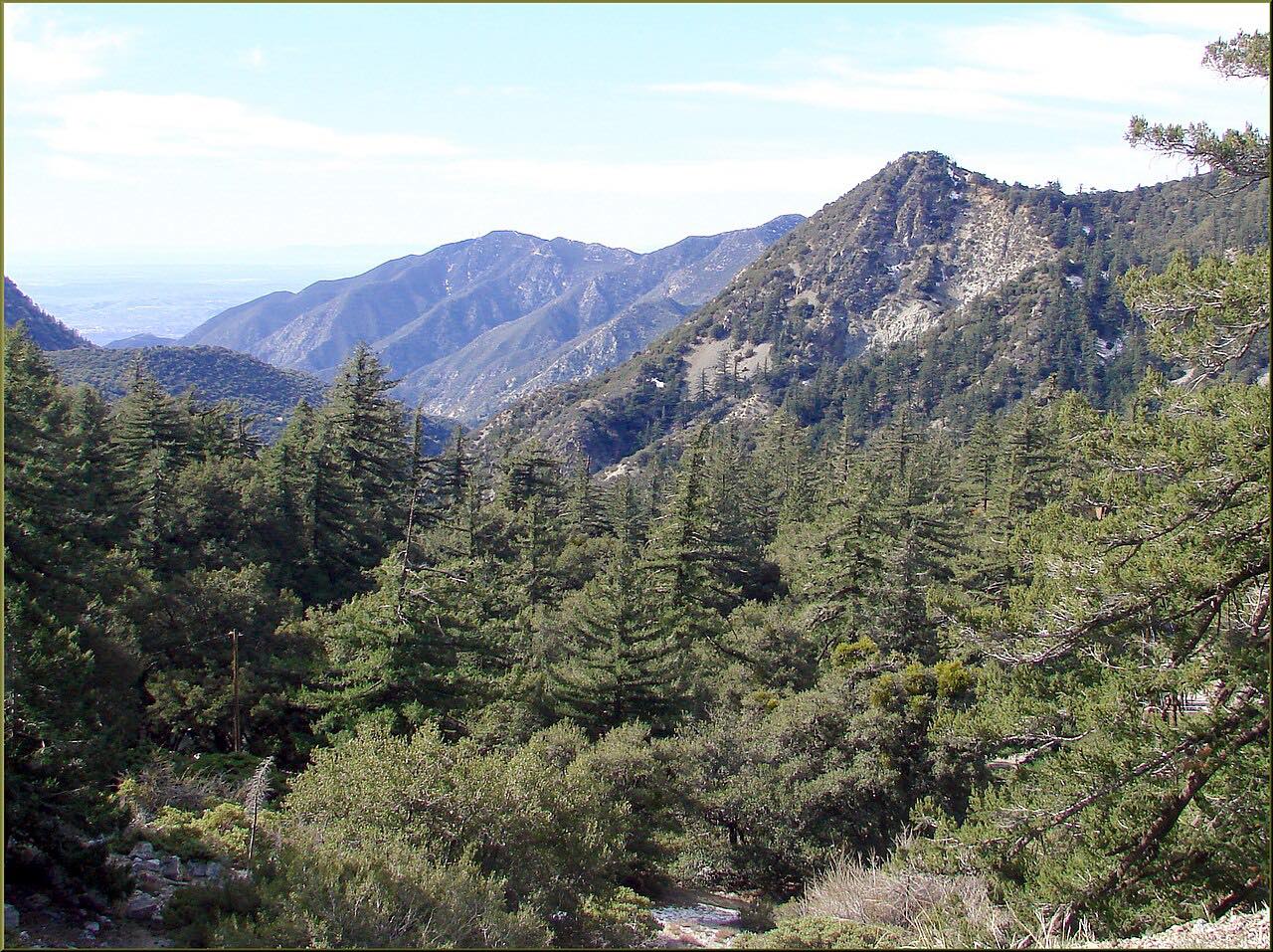
This is the long, slow way from Glendora to Mt. Baldy, and it's slow on purpose. Glendora Mountain Road switchbacks up from the foothills above Glendora into the San Gabriel Mountains, with the San Gabriel Valley falling away below, to the ridge where Glendora Ridge Road begins.
Glendora Ridge Road then follows the crest east, narrow and winding, through chaparral high above the valley. It's about 21 miles in all, and twisty almost the whole way, which is why it takes well over an hour.
It ends just short of Mount Baldy Road in Mt. Baldy Village, where the Mount Baldy Road drive continues up the canyon to Manker Flats, or you can go down San Antonio Canyon to Claremont.
Along the way
- Glendora
- Glendora Ridge Road
- Mt. Baldy Village (Mount Baldy Road)
Good to know
- LA County closes both roads for storms; check the county's closure list before you go.
- LA County and the Forest Service close both roads on major holiday weekends and on red-flag fire days, and they're gated when closed.
- Glendora Ridge Road is narrow, and both roads are popular with cyclists and motorcyclists; expect them on blind bends.
- Wildfire has burned this area and closed these roads for months at a time; check the forest's alerts before you go.
Open all year, weather permitting. Roads close for snow, fire, storms and repairs: before you set off, check LA County Public Works road closures.
Questions about this drive
How long does Glendora Ridge Road take?
Glendora Mountain Road and Glendora Ridge Road from Glendora to Mt. Baldy Village are 21.2 miles and take about 1 hr 15 min.
Is Glendora Ridge Road open?
LA County closes Glendora Ridge Road and Glendora Mountain Road for storms, red-flag fire days and major holiday weekends; its Public Works closure list shows the current status.
Why is Glendora Mountain Road closed on holidays?
LA County and the Angeles National Forest close Glendora Mountain Road and Glendora Ridge Road on major holiday weekends for public safety and fire prevention.
Can you bike Glendora Ridge Road when it's closed?
During some holiday and fire-weather closures, Glendora Ridge Road and Glendora Mountain Road have stayed open to cyclists, hikers and equestrians, but storm closures can be for everyone; check the notice.
What you get in the app
Free on iPhone and Android. CarPlay and Android Auto come with Apex.
More drives near here



Distance, time, elevation, curves and intensity are from Carve's route. Checked 2026-10-28.