
Drives California Los Angeles
Highway 39: San Gabriel Canyon
CA 39 · Azusa → Crystal Lake turnoff

The drive
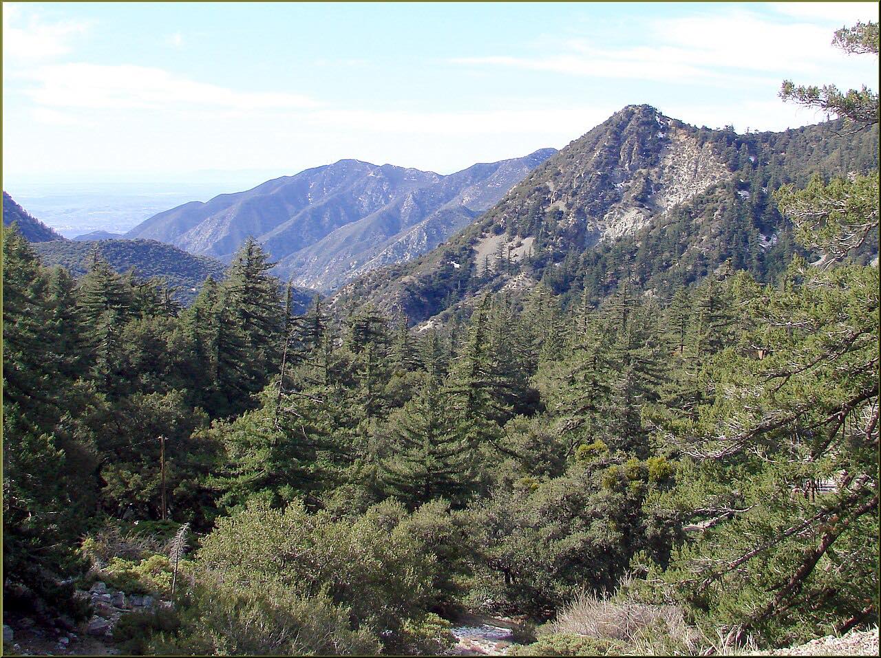
Highway 39 runs straight up San Gabriel Canyon from Azusa into the heart of the San Gabriel Mountains. A few miles above town it passes Morris Dam, built in the 1930s, and then San Gabriel Dam, with their reservoirs filling the canyon below the road; there's no public access to either, but both are in view from the highway.
Past the reservoirs the highway climbs in earnest, twisting up the mountainside to the turnoff for Crystal Lake, at about 5,000 feet, where there's a Forest Service recreation area with a campground, a small store and cafe, and a volunteer-run visitor center open on weekends. This drive ends there.
Highway 39 used to continue to Angeles Crest Highway at Islip Saddle, but rockslides in 1978 closed the last few miles, and they've been closed to the public ever since; the road is gated a quarter mile past the Crystal Lake turnoff. Caltrans has studied reopening it, without a decision. So it's a dead end: drive up to Crystal Lake, or turn around and enjoy the canyon on the way down.
Along the way
- Azusa
- Crystal Lake turnoff
Good to know
- It's a dead end: Caltrans lists Highway 39 closed from about 2 miles north of Crystal Lake Road to Angeles Crest Highway, and the road is gated not far past the turnoff.
- Parking at Forest Service day-use areas, including Crystal Lake, needs an Adventure Pass or an America the Beautiful pass.
- There's no gas in the national forest and no cell signal at Crystal Lake; fill up in Azusa.
- Wildfires and storms close the highway from time to time.
Open all year, weather permitting. Roads close for snow, fire, storms and repairs: before you set off, check Caltrans highway conditions: Highway 39.
Questions about this drive
How long does Highway 39 from Azusa to Crystal Lake take?
Highway 39 from Azusa up San Gabriel Canyon to the Crystal Lake turnoff is 20.8 miles and takes about 50 minutes, climbing about 6,200 feet along the way.
Does Highway 39 connect to Angeles Crest Highway?
Not for the public. Highway 39 has been closed between Crystal Lake and Angeles Crest Highway since rockslides in 1978, and is gated just past the Crystal Lake turnoff.
Will Highway 39 reopen to Highway 2?
Caltrans has studied reopening the closed section of Highway 39 above Crystal Lake, including options that wouldn't open it to general traffic, but there's no set date.
Do you need an Adventure Pass on Highway 39?
You don't need one to drive Highway 39, but parking at Forest Service day-use sites such as Crystal Lake requires an Adventure Pass or an America the Beautiful pass.
What you get in the app
Free on iPhone and Android. CarPlay and Android Auto come with Apex.
More drives near here



Distance, time, elevation, curves and intensity are from Carve's route. Checked 2026-10-28.