

The drive
State Route 78 starts at US 33 in Nelsonville and runs northeast through Athens, Hocking, Morgan and Noble counties. This drive covers the first 30.6 miles to Malta, rated Sweeping, with about 45 minutes of driving. It is an Ohio Scenic Byway and part of the Appalachian Byway.
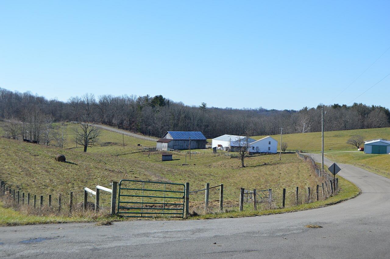
The stretch along the south side of Burr Oak State Park in Morgan County is known for sharp curves and scenic views, and locals sometimes call it the Rim of the World. Wikipedia notes that Car and Driver has called it one of the most scenic highways in the country.
Buchtel, Murray City, Glouster and McConnelsville are among the towns along Route 78 on the way to Malta.
Along the way
- Nelsonville (US 33)
- Malta (Highway 37)
Good to know
- The sharp curves are along the south side of Burr Oak State Park.
- OHGO shows current closures and construction on Ohio roads.
Open all year, weather permitting. Roads close for snow, fire, storms and repairs: before you set off, check OHGO (ODOT traffic and closures).
Questions about this drive
How long does Highway 78 from Nelsonville to Malta take?
State Route 78 from Nelsonville to Malta is 30.6 miles and takes about 45 minutes without stops.
What is the Rim of the World in Ohio?
It is the nickname some locals use for the stretch of State Route 78 along the south side of Burr Oak State Park, known for sharp curves and scenic views.
Is Route 78 a scenic byway?
Yes. It is an Ohio Scenic Byway and is considered part of the Appalachian Byway.
What you get in the app
Free on iPhone and Android. CarPlay and Android Auto come with Apex.
More drives near here



Distance, time, elevation, curves and intensity are from Carve's route. Checked 2026-10-28.