
Highway 260: Matamoras to East Union
SR 26, SR 145, Woodsfield Road · New Matamoras → East Union

The drive
State Route 260 runs northwest from Matamoras on the Ohio River to State Route 78 near East Union, 36.6 miles and rated Twisty, with about 1 hr 5 min of driving. It crosses Washington, Monroe and Noble counties, including Bethel Township in Monroe County.
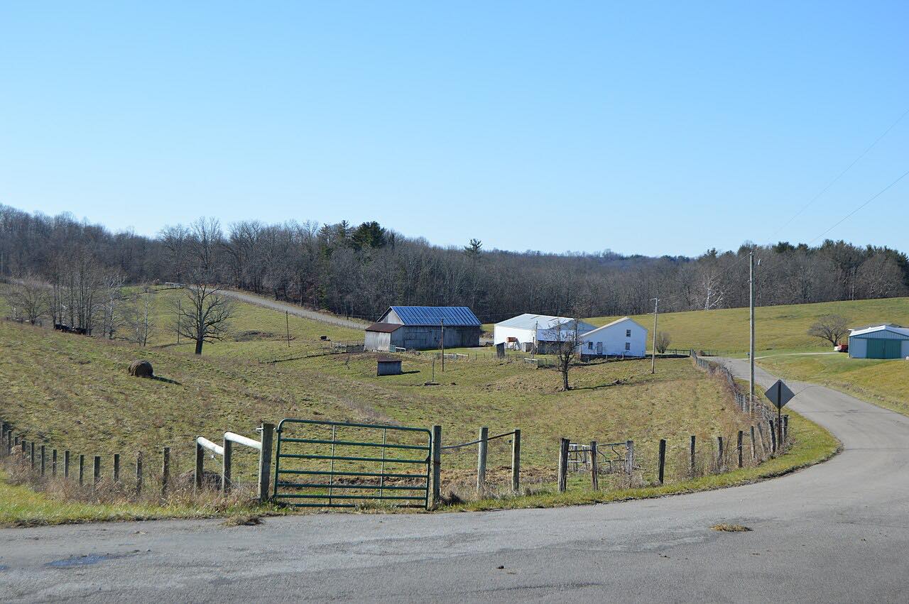
Route 260 is signed as a north-south highway even though it runs northwest to southeast. It shares pavement with Route 26 for a short distance in Ludlow Township, Washington County, and with Route 145 for a little under two miles in Elk Township, Noble County.
Along the way
- New Matamoras
- Bethel Township
- East Union (Highway 78)
Good to know
- The ODOT-maintained road overlaps Route 26 and Route 145, so follow the signs at those junctions.
- OHGO shows current closures and construction on Ohio roads.
Open all year, weather permitting. Roads close for snow, fire, storms and repairs: before you set off, check OHGO (ODOT traffic and closures).
Questions about this drive
How long does Highway 260 from Matamoras to East Union take?
State Route 260 from Matamoras to East Union is 36.6 miles and takes about 1 hr 5 min without stops.
Is Ohio Route 260 twisty?
The drive is rated Twisty, with long winding sections through the hills of Washington, Monroe and Noble counties.
Where does Route 260 start and end?
It runs from State Route 7 in Matamoras to State Route 78 near East Union.
What you get in the app
Free on iPhone and Android. CarPlay and Android Auto come with Apex.
More drives near here




Distance, time, elevation, curves and intensity are from Carve's route. Checked 2026-10-28.