Drives Ohio
Scenic drives in Ohio
10 drives worth taking in Ohio, each planned as a Carve route: the exact roads, how far and how long, and how twisty. Open one in Carve and drive it turn by turn.
Ohio
 Covered Bridge Byway: Highway 26Sweeping · SR 260, SR 800 · 41 mi · 1 hr 5 min
 Highway 125: Shawnee State ForestSweeping · Shawnee State Forest, Ohio · 15.2 mi · 20 min
 Highway 260: Matamoras to East UnionTwisty · SR 26, SR 145 · 37 mi · 1 hr 5 min
 Highway 536: Hannibal to WoodsfieldTwisty · Monroe County hills, Ohio · 18.6 mi · 35 min
 Highway 93: Ironton to JacksonLeisurely · SR 93 · 43 mi · 1 hr
 Highway 97: Bellville to LoudonvilleLeisurely · SR 97, Mill Road · 18.3 mi · 30 min
 Hocking Hills: Highway 374Twisty · Hocking Hills, Ohio · 25 mi · 45 min
 Rim of the World: Highway 78Sweeping · SR 13, SR 555 · 31 mi · 45 min
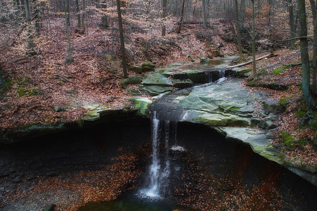 Riverview Road: Cuyahoga ValleySweeping · Cuyahoga Valley National Park, Ohio · 13.7 mi · 30 min
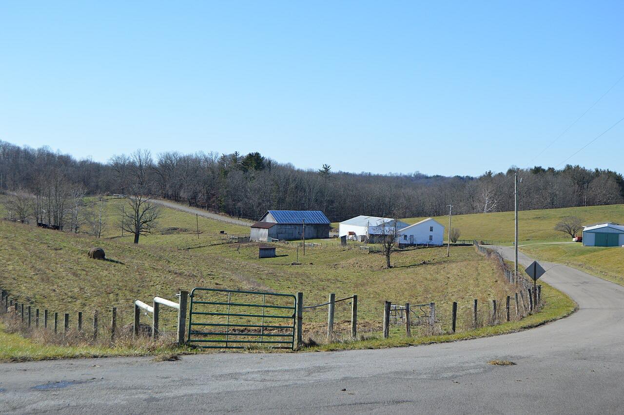 The Triple Nickel: Highway 555Twisty · SR 37, SR 78 · 34 mi · 1 hr
What you get in the app
Turn by turn, on this roadSpoken directions along the exact route. Carve never reroutes you onto a faster one.
Preview it in 3DFly the whole drive over satellite and terrain before you go.
Drive it with no signalAPEXDownload the map and every turn before you go.
Live Group TrackingAPEXEveryone on the route, on the map, by name.
Road conditionsAPEXWet or dry, ice, fog and wind along the road before you go.
Record your drivesAPEXRecord a drive and turn it into a route to drive again or share.
Free on iPhone and Android. CarPlay and Android Auto come with Apex.