

The drive
State Route 374 is the heart of the Hocking Hills Scenic Byway, running from US 33 at Rockbridge through Hocking State Forest and Hocking Hills State Park. The byway follows Routes 374 and 664, two-lane roads that wind through southeast Ohio, and this 24.9-mile drive is rated Twisty, at about 45 minutes.
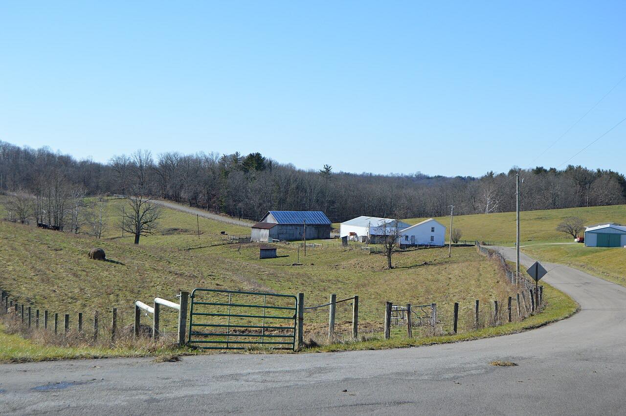
AAA describes the byway's rolling hills, meadows, small farms, valleys and forest shade, with massive sandstone outcroppings. The state park is known for its recess caves, waterfalls and splash pools. The drive passes the Cantwell Cliffs, Rock House, Old Man's Cave and Cedar Falls areas and finishes at Ash Cave on Route 56.
Between 2011 and 2013 a one-mile realignment near Old Man's Cave was built to reduce conflicts between traffic and pedestrians.
Along the way
- Rockbridge (US 33)
- Cantwell Cliffs
- Rock House
- Old Man's Cave
- Cedar Falls
- Ash Cave (Highway 56)
Good to know
- Route 374 shares pavement with Route 664, so watch the turns near the park.
- Pedestrians cross the road near Old Man's Cave.
- OHGO shows current closures and construction on Ohio roads.
Open all year, weather permitting. Roads close for snow, fire, storms and repairs: before you set off, check OHGO (ODOT traffic and closures).
Questions about this drive
How long does the Hocking Hills scenic drive take?
Highway 374 from Rockbridge to Ash Cave is 24.9 miles and takes about 45 minutes without stops.
What is the Hocking Hills Scenic Byway?
It is a roughly 25-mile route along State Routes 374 and 664 through Hocking State Forest and Hocking Hills State Park.
What can you see along Route 374 in Hocking Hills?
The state park is known for its recess caves, waterfalls and splash pools, along with large sandstone outcroppings.
What you get in the app
Free on iPhone and Android. CarPlay and Android Auto come with Apex.
More drives near here



Distance, time, elevation, curves and intensity are from Carve's route. Checked 2026-10-28.