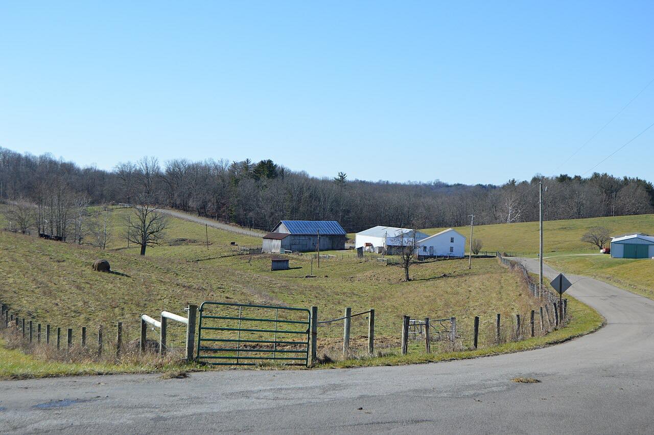
The Triple Nickel: Highway 555
SR 37, SR 78, SR 377 · Stovertown, south of Zanesville → Chesterhill

The drive
Ohio State Route 555 is called the Triple Nickel, and it is popular with motorcyclists. This drive takes the northern part of it south from Stovertown, just outside Zanesville, to Chesterhill, where 555 meets Route 377. It is 33.9 miles and takes about an hour, mostly moderate curves with three twisty stretches, the longest between miles 21 and 26.
Riders describe rolling hills, blind crests, isolated farms and challenging curves, and the road passes briefly through Wayne National Forest. Along the way 555 shares pavement for short stretches with Route 669 at Deavertown (about 2.5 miles), Route 37 in Perry County and Route 78 at Ringgold.
This is not a smooth road. Rider reports mention patched and lumpy pavement, loose gravel and blind corners, and describe it as not a novice road. Traffic is light, and there is a Triple Nickel Country Cruise-In car show in Stovertown each year.
Along the way
- Stovertown, south of Zanesville
- Deavertown
- Ringgold
- Chesterhill (Highway 377)
Good to know
- Rider reports describe patched pavement, loose gravel and blind crests and corners; keep speeds down where you can't see the other side of a hill.
- Traffic is light and the road is isolated, so fill up before you start.
- Route 555 shares the road briefly with other routes, including Route 669 at Deavertown, Route 78 at Ringgold and Route 37, so watch the signs at those junctions.
Open all year, weather permitting. Roads close for snow, fire, storms and repairs: before you set off, check OHGO: Ohio traffic and road closures.
Questions about this drive
How long does the Triple Nickel (Ohio Route 555) take to drive?
The 33.9-mile drive from Stovertown to Chesterhill takes about 1 hour.
Why is Route 555 called the Triple Nickel?
Route 555 is nicknamed the Triple Nickel for its number, and it is popular with motorcyclists.
How twisty is Ohio Route 555?
Moderate overall, with three twisty stretches, around miles 17 to 19, 21 to 26 and 27 to 33. Riders also report blind crests and dips.
What is the pavement like on the Triple Nickel?
Rider reports describe patches, lumpy sections and loose gravel in places, so it suits experienced riders and drivers better than beginners.
What you get in the app
Free on iPhone and Android. CarPlay and Android Auto come with Apex.
More drives near here


Distance, time, elevation, curves and intensity are from Carve's route. Checked 2026-10-28.