

The drive
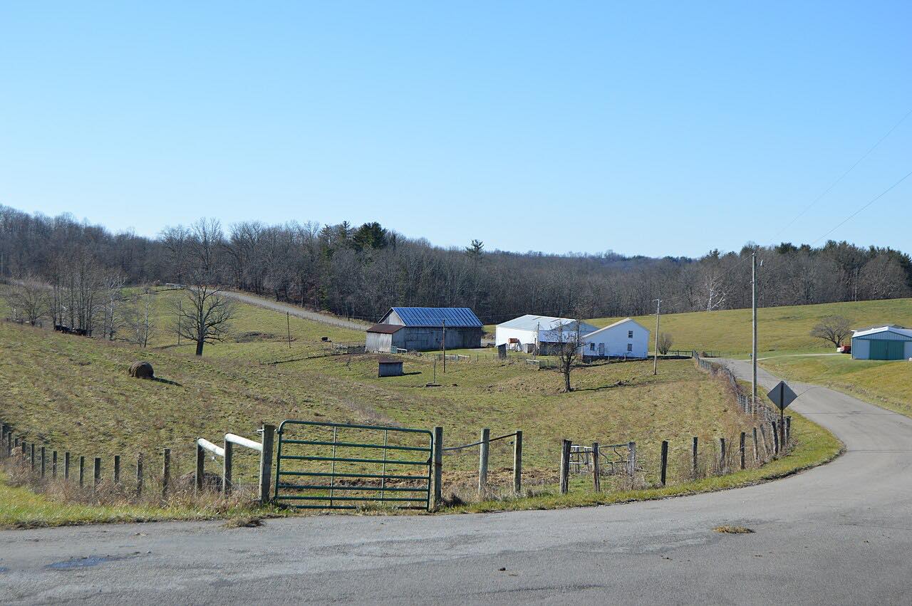
Highway 97 runs east from Bellville into the Mohican country of north-central Ohio. It begins in a farm town, then follows rolling hills toward the Clear Fork of the Mohican River. East of Bellville the road turns sharply south-southeast and crosses the Clear Fork, then carries on through woods and farmland toward Loudonville.
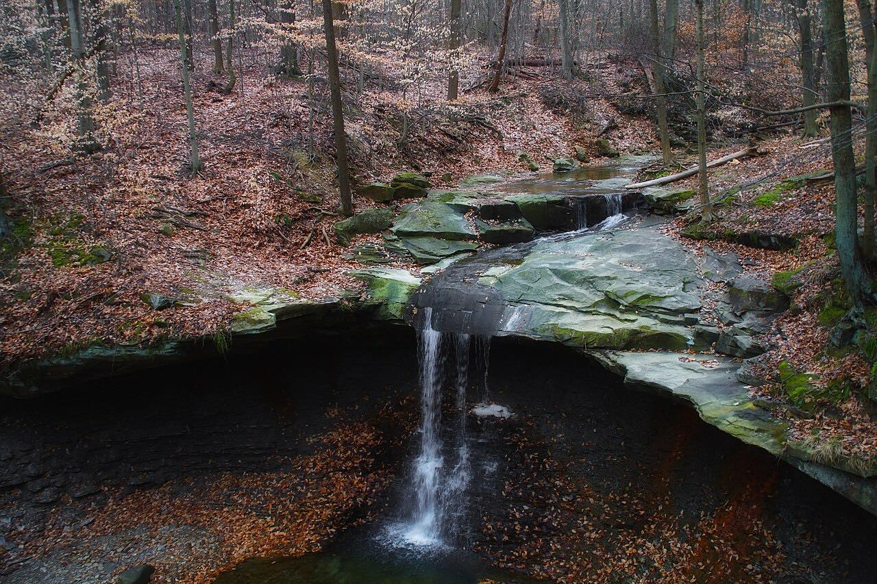
Mohican State Park is reached from both Highway 97 and Highway 3, and it sits inside the 4,525-acre Mohican-Memorial State Forest. The Clear Fork cuts a narrow gorge there. The drive finishes on Highway 3 into Loudonville, about 2.6 miles of the total.
It is a quiet two-lane that gets busier on fall color weekends. The route is 18.3 miles and climbs about 892 feet, with a high point of 1,381 feet.
Along the way
- Bellville
- Loudonville
Good to know
- Expect more traffic on fall color weekends, when visitors fill the Mohican valley.
- The drive ends on Highway 3 for the last 2.6 miles into Loudonville.
- Mohican State Park is entered from Highway 97 or Highway 3 if you want to stop.
Open all year, weather permitting. Roads close for snow, fire, storms and repairs: before you set off, check OHGO (Ohio Department of Transportation).
Questions about this drive
How long is the Highway 97 drive from Bellville to Loudonville?
Highway 97 from Bellville to Loudonville is 18.3 miles and takes about 29 minutes.
Is Highway 97 near Mohican State Park?
Yes. Mohican State Park is reached from Highway 97 and Highway 3, and the drive from Bellville to Loudonville passes through that part of the Mohican valley.
When is Highway 97 busiest?
The Mohican valley road is busier on fall color weekends. It is a quiet two-lane the rest of the time.
What you get in the app
Free on iPhone and Android. CarPlay and Android Auto come with Apex.
More drives near here


Distance, time, elevation, curves and intensity are from Carve's route. Checked 2026-10-28.