
Drives New South Wales, Australia The Illawarra and South Coast
Clyde Mountain: Kings Highway
Kings Highway, B52 · Batemans Bay → Braidwood


The drive
The Kings Highway is the road Canberra drivers take to the South Coast, and this drive covers its climb over Clyde Mountain. It starts at Batemans Bay, follows the Clyde River to Nelligen and then climbs the Great Dividing Range in a long run of tight bends through forest, 58 km (36 mi) to Braidwood.
Nelligen was served by a punt from 1895 until its bridge opened in 1964, and a replacement bridge opened in February 2023. Thomas Mitchell surveyed the Clyde Mountain road in 1855. Near the summit, Pooh Bear's Corner is a rock cave that was a World War II munitions store, which could be blown up to block the way to Canberra.
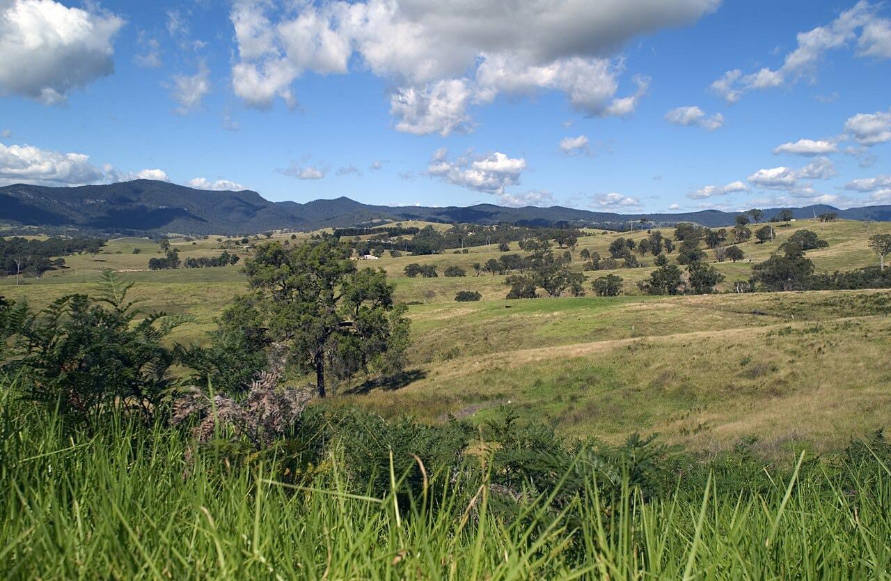
Past the top the road runs out onto the sheep country of the Southern Tablelands and ends at Braidwood, a major settlement on the way to Canberra.
Along the way
- Batemans Bay (Kings Highway)
- Nelligen
- Braidwood (Kings Highway)
Good to know
- The highway is busy on summer weekends, and trucks and holiday traffic share it.
- Overtaking chances on the highway are limited; only about 5% of its length was judged safe for overtaking, so be patient.
- Kangaroo collisions have increased on the highway, particularly at night.
- Roadworks and slope repairs can cause delays on Clyde Mountain, so check Live Traffic NSW before you go.
Open all year, weather permitting. Roads close for snow, fire, storms and repairs: before you set off, check Live Traffic NSW.
Questions about this drive
How long does Clyde Mountain take to drive?
Batemans Bay to Braidwood over Clyde Mountain on the Kings Highway is 58 km (36 mi) and takes about 50 minutes.
Is the Kings Highway over Clyde Mountain dangerous?
The 40 km stretch over the range has the highest share of crashes on the Kings Highway, with few safe overtaking spots, so drive with care and take your time.
Where does the Kings Highway go?
The Kings Highway (B52) links Canberra with Batemans Bay on the New South Wales South Coast, passing through Queanbeyan, Bungendore, Braidwood and Nelligen.
What you get in the app
Free on iPhone and Android. CarPlay and Android Auto come with Apex.
More drives near here
 Cambewarra Range to Kangaroo ValleyTwisty · Moss Vale Road, Cambewarra Road · 11.4 mi
 Brown Mountain: Bega to CoomaSweeping · Snowy Mountains Highway, B72 · 64 mi
 Cotter, Brindabella and Uriarra RoadsSweeping · Cotter Road, Brindabella Road · 23 mi
 Kangaroo Valley: Berry to Moss ValeSweeping · Kangaroo Valley Road, Moss Vale Road · 34 mi
Distance, time, elevation, curves and intensity are from Carve's route. Checked 2026-10-28.