
Drives California The Central Coast
Highway 46 West: Templeton to Cambria
Green Valley Road, CA 46 · Templeton → Highway 1 near Cambria

The drive
Highway 46 West is the road from Paso Robles wine country to the sea. It leaves US 101 north of Templeton and heads west through rolling oak country and hillside vineyards, past the 46 West cluster of wineries, among them Niner Wine Estates and Grey Wolf Cellars, and Jack Creek Farms, a long-running pumpkin farm right off the highway.
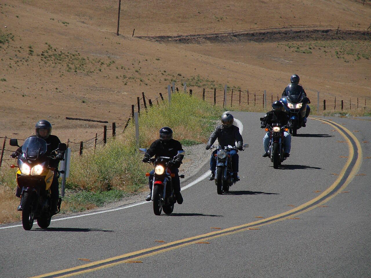
Then it climbs over the Santa Lucia Range. This stretch, the Eric Seastrand Highway, was built in the 1970s to replace the steeper, curvier Santa Rosa Creek Road, so it's a fast road of long sweepers rather than tight bends. Turnouts near the top look down the range toward the Pacific, and the long descent ends at Highway 1 just south-east of Cambria, about a mile from the ocean.
It's driven west from US 101, so the ocean comes into view on the way down. Near the summit, Old Creek Road leaves to the south for Cayucos, and Santa Rosa Creek Road to the north winds down to Cambria: either makes a slower alternative.
Along the way
- Templeton (US 101)
- Highway 1 near Cambria
Good to know
- There's a roundabout at Vineyard Drive near the start.
- Watch for cars slowing for winery entrances on the vineyard stretch.
- The turnouts near the top have the coastal views; pull fully off the road to stop.
Open all year, weather permitting. Roads close for snow, fire, storms and repairs: before you set off, check Caltrans: Highway 46 conditions.
Questions about this drive
How long does Highway 46 West take from Templeton to Cambria?
Highway 46 West from US 101 near Templeton to Highway 1 near Cambria is 21.4 miles and takes about 25 minutes without stops.
Is Highway 46 West twisty?
No. Highway 46 West over the Santa Lucia Range is mostly gentle, fast sweepers; it was built in the 1970s to bypass the curvier Santa Rosa Creek Road.
Are there wineries on Highway 46 West?
Yes. Highway 46 West passes a cluster of Paso Robles wineries in its first miles from US 101, including Niner Wine Estates and Grey Wolf Cellars.
What's a good loop from Highway 46 West?
From the top of Highway 46 West, Old Creek Road winds south past Whale Rock Reservoir to Cayucos, so you can drive out on 46 and return along Highway 1 and Old Creek Road.
What you get in the app
Free on iPhone and Android. CarPlay and Android Auto come with Apex.
More drives near here



Distance, time, elevation, curves and intensity are from Carve's route. Checked 2026-10-28.