
Drives California The Central Coast
Highway 58: Santa Margarita to McKittrick
CA 58 · Santa Margarita → McKittrick

The drive
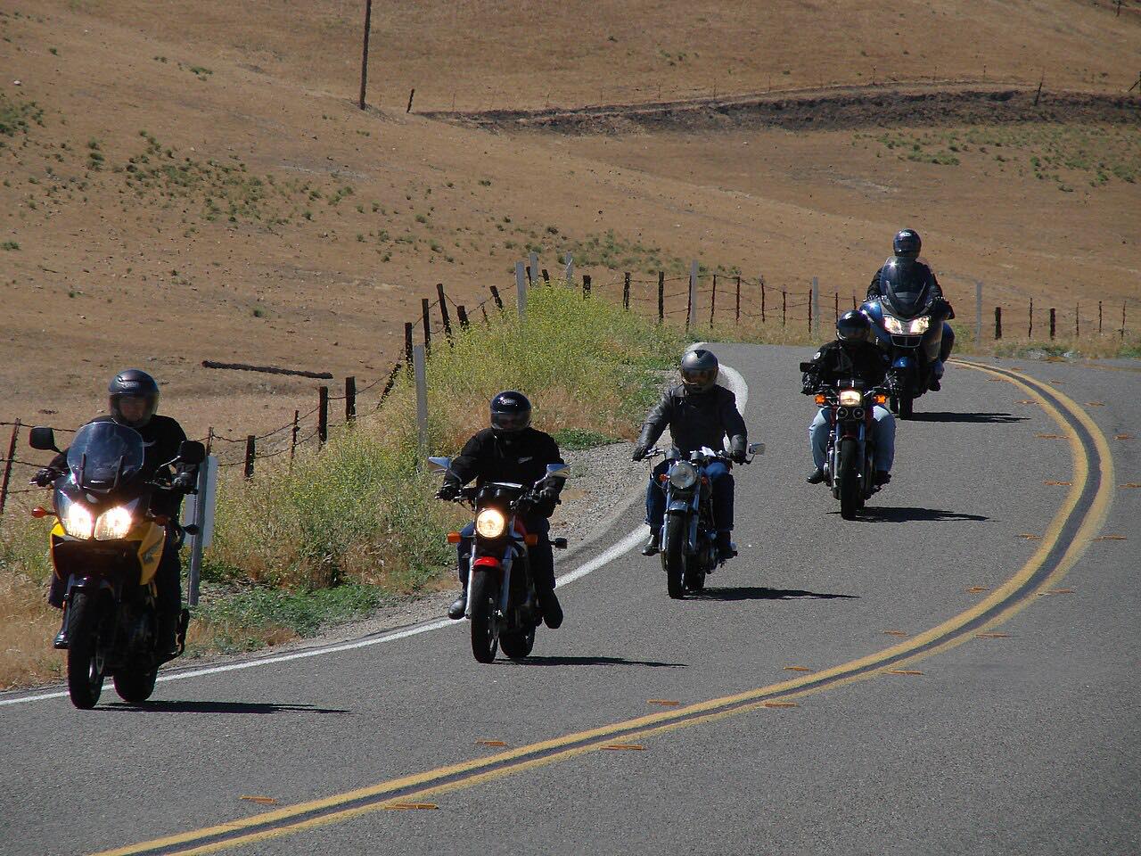
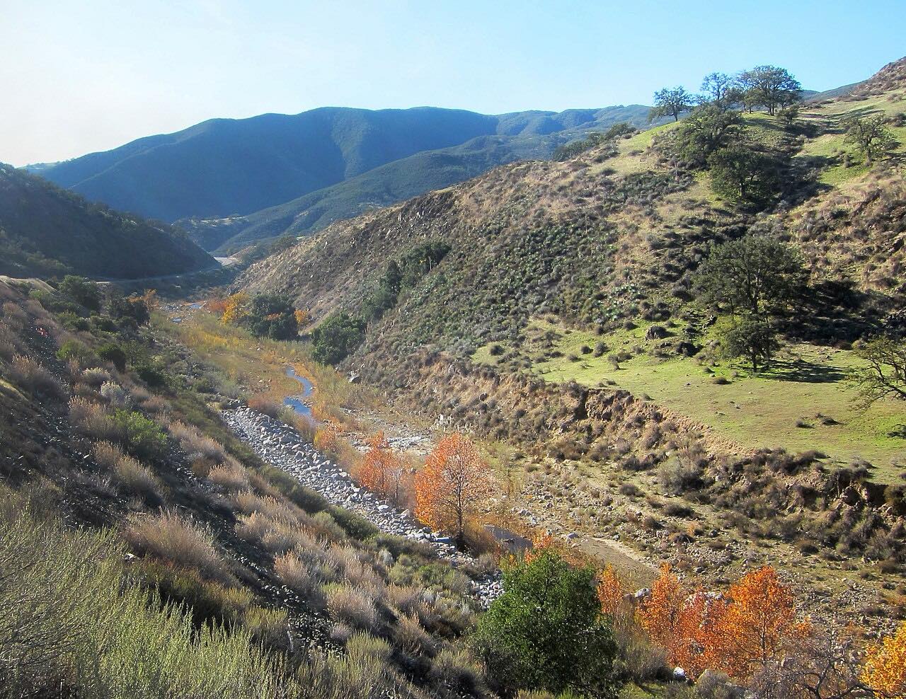
Highway 58 east of Santa Margarita has been called California's loneliest road, and it earns it. From town it follows Calf Canyon into the La Panza Range, a narrow, winding road of oaks and ranches with limited shoulders, and at Shell Creek Road it becomes the Carrisa Highway.
Then the land opens up. The highway crosses the north end of the Carrizo Plain, a wide grassland of more than 200,000 acres protected as Carrizo Plain National Monument and split by the San Andreas Fault. Soda Lake Road turns south into the monument toward Soda Lake, a usually dry alkali lake that is the largest remaining natural alkali wetland in southern California. In a good spring, wildflowers can cover the valley floor. Past the plain, the road climbs the Temblor Range to a summit of about 3,250 feet, squeezes through a narrow canyon near the Kern County line, and drops to McKittrick at the edge of the San Joaquin Valley.
It's driven east from Santa Margarita and US 101, where most drivers come from.
Along the way
- Santa Margarita (Pozo Road)
- Soda Lake Road (Carrizo Plain)
- McKittrick (Highway 33)
Good to know
- There are no services between Santa Margarita and Buttonwillow, about 80 miles: fill up before you leave.
- Trucks are advised to avoid it; the road is narrow and winding over both ranges, with limited sight distance in places.
- The Carrizo Plain has no water, food or fuel. The Goodwin Education Center on Soda Lake Road opens Thursday to Sunday from December through May.
- Traffic is very light, so you may be a long way from help if something goes wrong.
Open all year, weather permitting. Roads close for snow, fire, storms and repairs: before you set off, check Caltrans: Highway 58 conditions.
Questions about this drive
How long does Highway 58 take from Santa Margarita to McKittrick?
Highway 58 from Santa Margarita across the Carrizo Plain to McKittrick is 68.7 miles and takes about 1 hour 50 minutes without stops.
Is there gas on Highway 58 across the Carrizo Plain?
No. There are no services on Highway 58 between the Santa Margarita area and Buttonwillow, so fill up before you go.
How do you get to Carrizo Plain National Monument from Highway 58?
From Highway 58, turn south on Soda Lake Road, which runs into Carrizo Plain National Monument toward Soda Lake and the Goodwin Education Center.
When is the best time to drive Highway 58 for wildflowers?
In wet years, spring wildflowers can cover the Carrizo Plain beside Highway 58; the bloom is short, so check a wildflower report before you go.
Can trucks and RVs use Highway 58?
Trucks are advised to avoid Highway 58 over the La Panza and Temblor ranges because it is narrow and winding, and to use Highway 46 or Highway 166 instead.
What you get in the app
Free on iPhone and Android. CarPlay and Android Auto come with Apex.
More drives near here



Distance, time, elevation, curves and intensity are from Carve's route. Checked 2026-10-28.