Drives California The Central Coast
Highway 229: Webster Road
Webster Road, CA 229 · Highway 58 → Highway 41

The drive
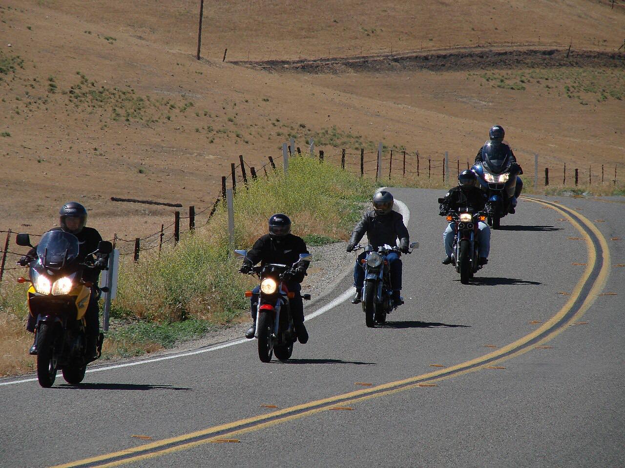
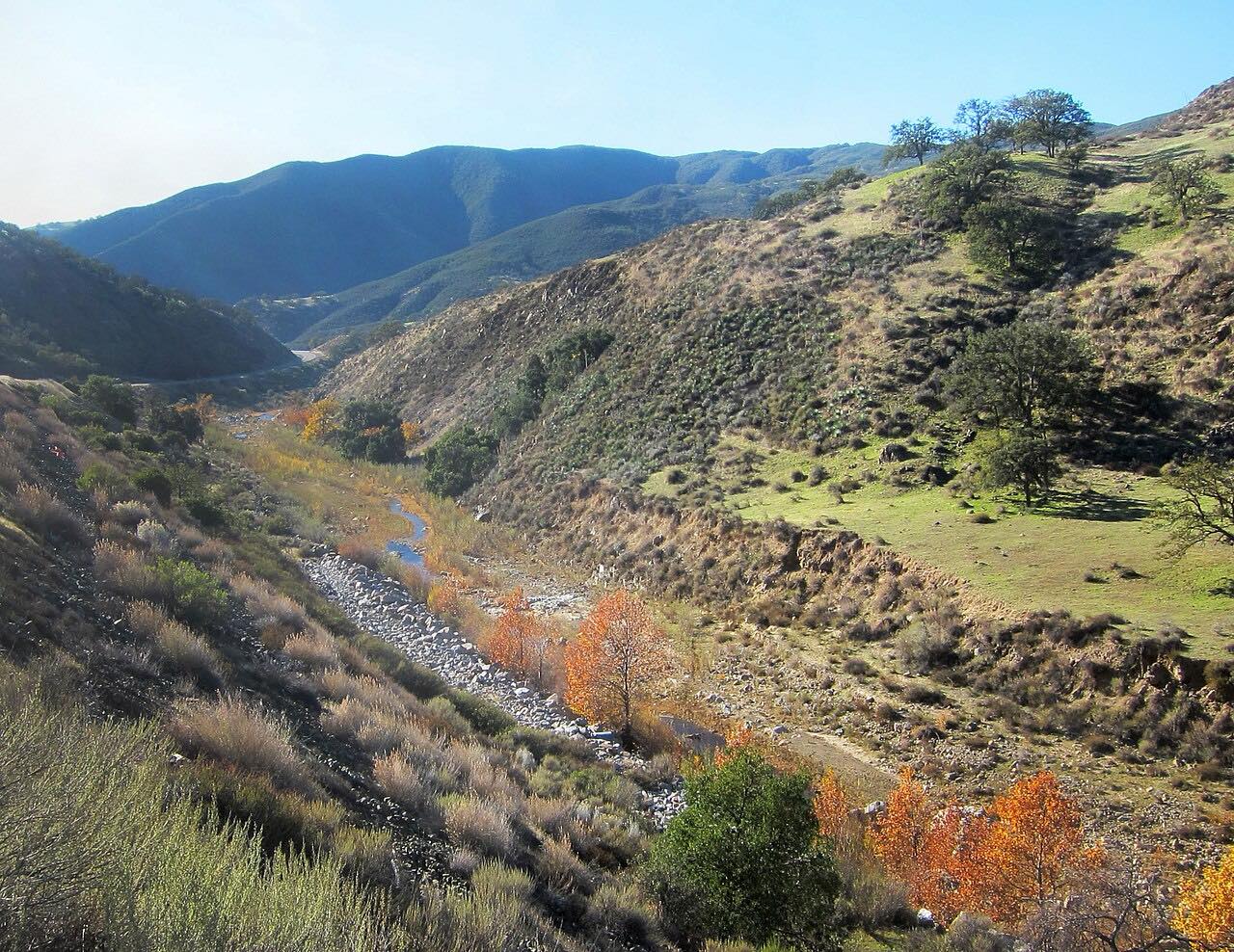
Highway 229 is a state highway that doesn't look like one. Signed Webster Road, it leaves Highway 58 north-east of Santa Margarita and, after a sign that reads Narrow Road Next 6 Miles, spends its first six miles as a lane and a half of pavement with no center line, only white edge lines, curling through live oaks, scrub and open hills with Granite Ridge to the east.
Near Rocky Canyon Road it widens to two full lanes and runs north past ranches along the branches of Huerhuero Creek, through the tiny town of Creston, to Highway 41. It became a signed state route in 1964 and has changed little since.
It's driven north from Highway 58, so the narrow part comes first and the road opens up toward Creston. It pairs with the Highway 58 drive out of Santa Margarita.
Along the way
- Highway 58
- Highway 41 (Creston)
Good to know
- The first six miles have no center line and limited sight distance over blind curves and crests: drive slowly and be ready to pull right for oncoming traffic.
- There are sharp turns even on the two-lane part past Rocky Canyon Road.
Open all year, weather permitting. Roads close for snow, fire, storms and repairs: before you set off, check Caltrans: Highway 229 conditions.
Questions about this drive
How long is Highway 229?
This drive on Highway 229, from Highway 58 to Highway 41 at Creston, is 8.8 miles and takes about 15 minutes.
Is Highway 229 one lane?
For its first six miles from Highway 58, Highway 229 is about a lane and a half wide with no center line, so oncoming cars have to squeeze past each other; it widens to two lanes near Rocky Canyon Road.
Is Highway 229 a good drive?
Highway 229 is short and slow: its narrow first six miles wind through oak hills with blind curves, then it opens into ranch country toward Creston. Together with Highway 58 and Highway 41 it makes a scenic back way between the coast and the inland valleys.
What you get in the app
Free on iPhone and Android. CarPlay and Android Auto come with Apex.
More drives near here



Distance, time, elevation, curves and intensity are from Carve's route. Checked 2026-10-28.