
Drives California Santa Cruz and Monterey
Highway 198: San Lucas to Coalinga
CA 198 · San Lucas → Coalinga

The drive
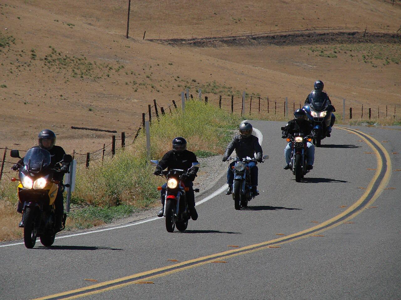
Highway 198 crosses the southern Diablo Range from the Salinas Valley to the San Joaquin Valley. The drive starts at the US 101 interchange at San Lucas and heads east through oak and ranchland on long curves.
It crosses remote Priest Valley, the only community along the way, and climbs to a high point near 2,800 feet. East of the valley the road winds down through the hills and canyons to Coalinga, passing through the Coalinga oil field on the edge of town.
The drive is 46.9 miles and takes about 1 hr 5 min. It is mostly sweeping, with one twisty stretch in the hills around Priest Valley.
Along the way
- San Lucas (US 101)
- Priest Valley
- Coalinga
Good to know
- There are no services on Highway 198 between San Lucas and Coalinga, so start with fuel and supplies.
- The road is two lanes through remote country; plan for few places to stop.
Open all year, weather permitting. Roads close for snow, fire, storms and repairs: before you set off, check Caltrans: Highway 198 road conditions.
Questions about this drive
How long does Highway 198 from San Lucas to Coalinga take?
Highway 198 from San Lucas to Coalinga is 46.9 miles and takes about 1 hr 5 min.
Are there gas stations on Highway 198 between San Lucas and Coalinga?
No services are listed along Highway 198 between San Lucas and Coalinga, so fill up before you go.
How twisty is Highway 198 over the Diablo Range?
Highway 198 is mostly gentle and sweeping, with one twisty stretch in the hills around Priest Valley.
Is Highway 198 open in winter?
Highway 198 is a state highway and stays open year-round. Caltrans' road conditions page shows any current closures or traffic control.
What you get in the app
Free on iPhone and Android. CarPlay and Android Auto come with Apex.
More drives near here



Distance, time, elevation, curves and intensity are from Carve's route. Checked 2026-10-28.