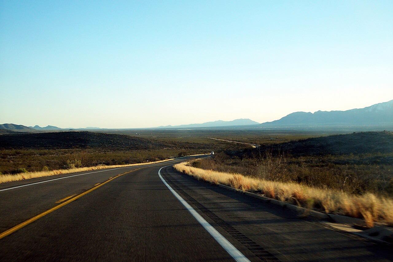
Drives Arizona Southeast Arizona and the Sky Islands
Highway 80: Tombstone to Bisbee
Mule Mountains, Arizona · Tombstone → Bisbee


The drive
Highway 80 runs south from Tombstone to Bisbee, about 25 miles across ranch country and the Mule Mountains. From Tombstone the road heads south past the airport to the junction with Highway 90, then climbs over the Mule Mountains and passes through the Mule Pass Tunnel into Bisbee.
The tunnel was dedicated in December 1958 and cut about ten minutes off the old trip over the 6,030-foot pass, which had gone by the Divide road. Today that stretch is part of Historic US 80, a designation applied in 2018. On the Bisbee side, interchanges at Tombstone Canyon Road and Main Street lead into Old Bisbee, the hillside copper town.
This is a relaxed drive with gentle curves; the draw is the history at either end.
Along the way
- Tombstone (Fremont Street)
- Old Bisbee
- Bisbee (Main Street)
Good to know
- Cyclists use the Mule Pass Tunnel and its approaches; a 2024 safety project added lighting and room for bicycles.
- Highway 90 branches west south of Tombstone toward Fort Huachuca and Sierra Vista; this drive stays on Highway 80.
Open all year, weather permitting. Roads close for snow, fire, storms and repairs: before you set off, check Arizona 511 (ADOT).
Questions about this drive
How long does Highway 80 from Tombstone to Bisbee take?
Highway 80 from Tombstone to Bisbee is 24.5 miles and takes about 30 minutes.
What is the Mule Pass Tunnel?
The Mule Pass Tunnel carries Highway 80 through the Mule Mountains into Bisbee. It was dedicated in December 1958 and replaced the older Divide road over the pass.
Is Highway 80 between Tombstone and Bisbee twisty?
No. Highway 80 is a leisurely drive with mostly gentle curves.
What you get in the app
Free on iPhone and Android. CarPlay and Android Auto come with Apex.
More drives near here
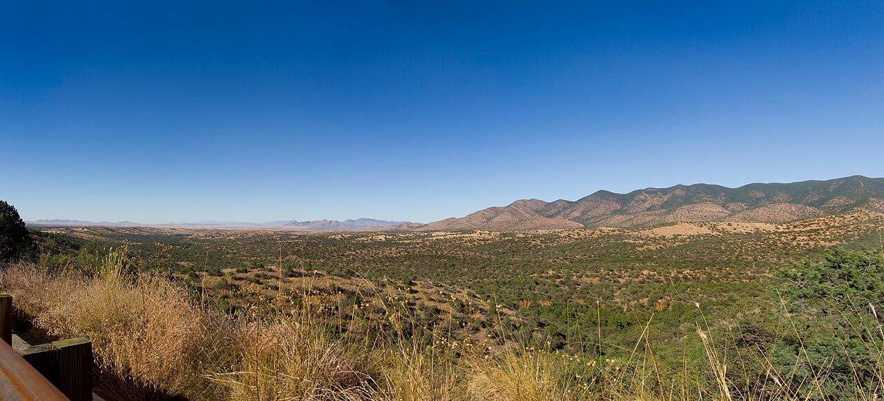 Highway 83: Sonoita to Parker CanyonSweeping · Canelo Hills, Arizona · 28 mi
 Sonoita and Patagonia: AZ-83 and 82Leisurely · Sonoita Grasslands, Arizona · 38 mi
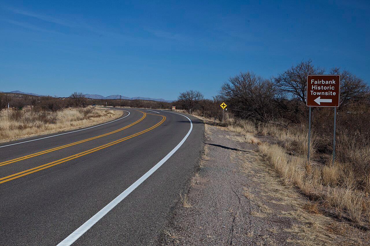 Highway 82: Patagonia to NogalesLeisurely · Santa Cruz Valley, Arizona · 18.1 mi
 Bonita Canyon DriveTwisty · Chiricahua Mountains, Arizona · 7.6 mi
Distance, time, elevation, curves and intensity are from Carve's route. Checked 2026-10-28.