
Drives Arizona Tucson and Southern Arizona
Bonita Canyon Drive
Chiricahua Mountains, Arizona · Chiricahua entrance → Massai Point

The drive
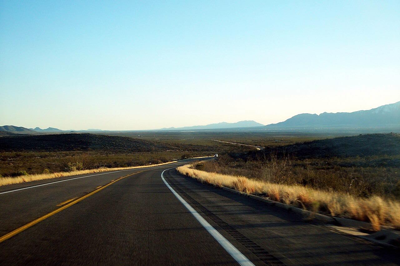
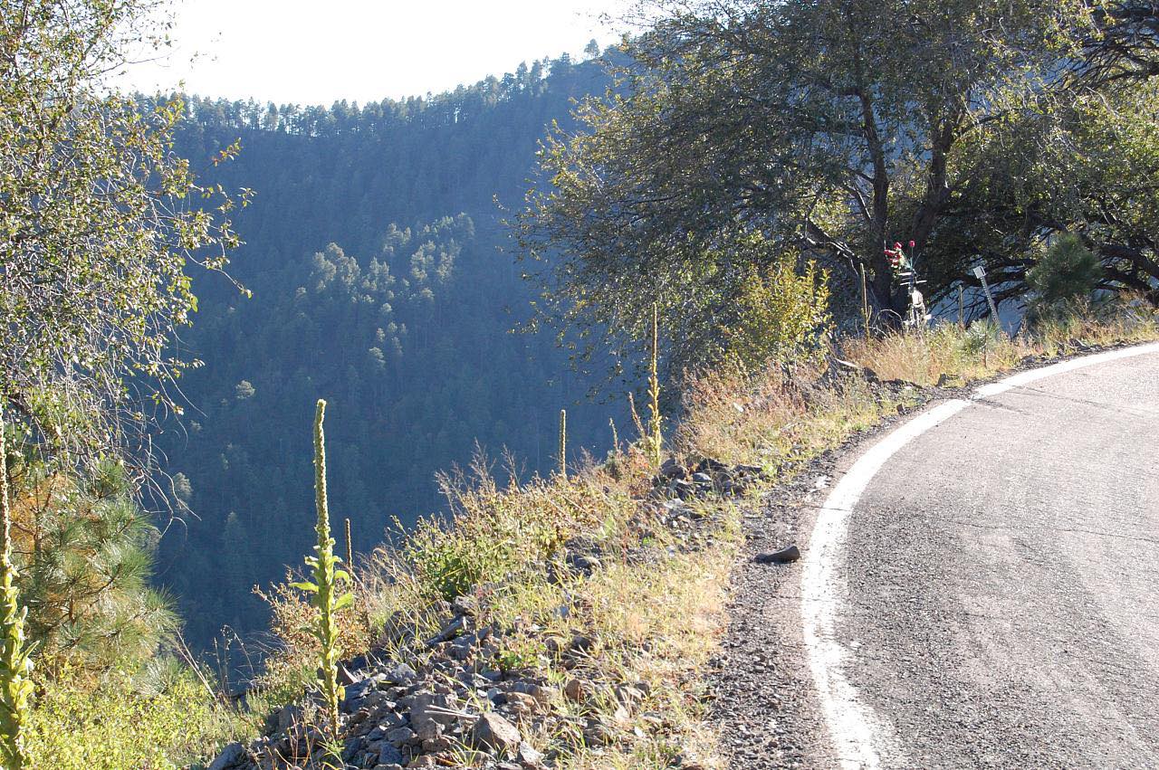
Bonita Canyon Drive climbs through Chiricahua National Monument from the entrance on AZ 181. It passes the visitor center, then rises in tight bends through oak and pine to Massai Point at 6,870 feet, above a sea of rock spires.
The paved road ends at Massai Point, so you return the way you came. This drive stops on the road just below the Massai Point parking area.
Along the way
- Chiricahua entrance (AZ-181)
- Massai Point
Good to know
- There's no entrance fee.
- RVs longer than 24 feet are not allowed past the visitor center because the road is narrow and winding.
- The nearest gas stations are in Sunizona, 27 miles southwest, and Willcox, 37 miles northwest.
- During monsoon season, flash floods can briefly close Highway 186 between Willcox and the park.
Open all year, weather permitting. Roads close for snow, fire, storms and repairs: before you set off, check National Park Service: Chiricahua conditions.
Questions about this drive
How long does Bonita Canyon Drive take?
Bonita Canyon Drive from the entrance to Massai Point is 7.6 miles and takes about 20 minutes.
Is there a fee to enter Chiricahua National Monument?
The park lists no entrance or parking fee for the monument.
Can RVs drive Bonita Canyon Drive?
RVs over 24 feet are not allowed past the visitor center on Bonita Canyon Drive.
How high is Massai Point?
Massai Point is 6,870 feet, compared with 5,400 feet at the visitor center.
What you get in the app
Free on iPhone and Android. CarPlay and Android Auto come with Apex.
More drives near here



Distance, time, elevation, curves and intensity are from Carve's route. Checked 2026-10-28.