Drives Arizona Southeast Arizona and the Sky Islands
Highway 82: Patagonia to Nogales
Santa Cruz Valley, Arizona · Patagonia → Nogales


The drive
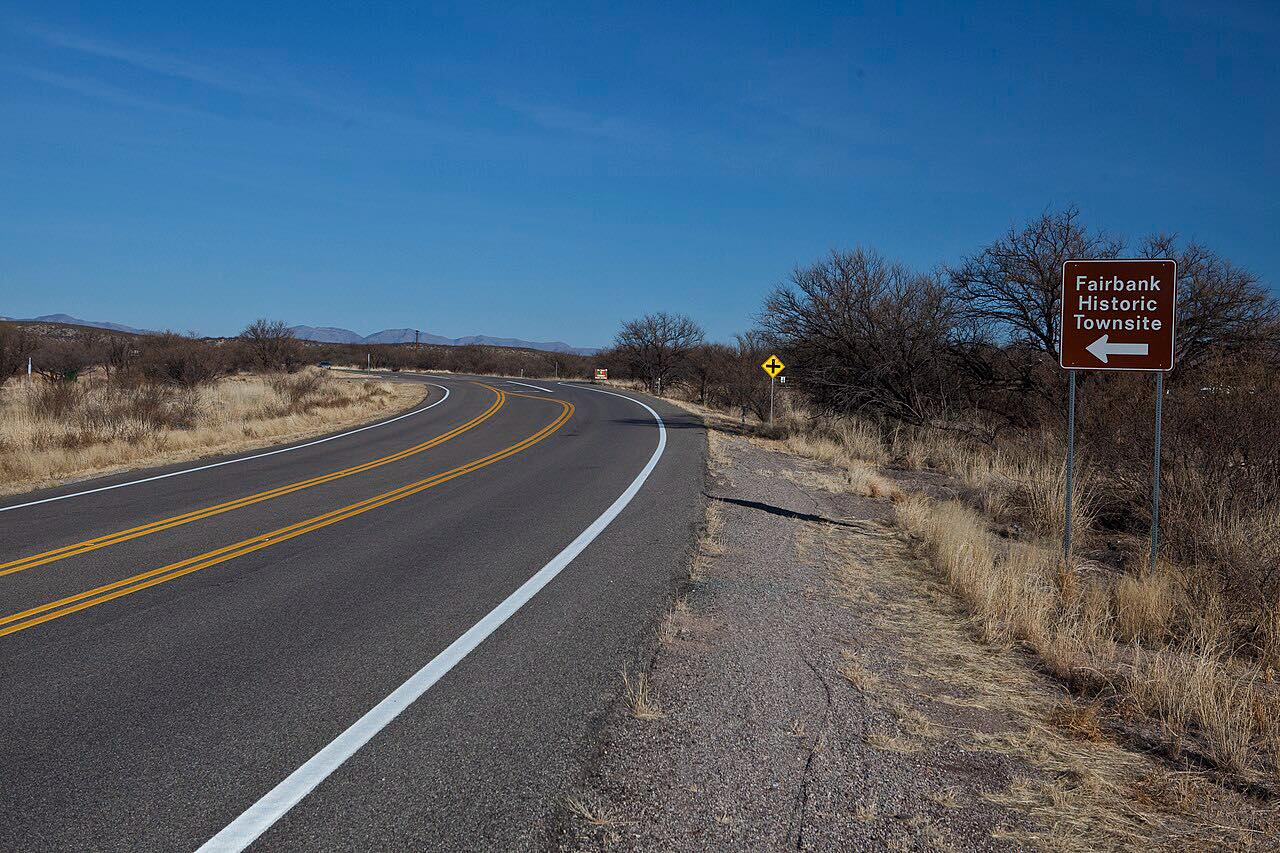
Highway 82 runs from Patagonia southwest to Nogales, 18 miles on the Patagonia-Sonoita Scenic Road. Leaving Patagonia, the road follows Sonoita Creek through oak and grass hills, with cottonwoods along the bottoms. It briefly enters the Coronado National Forest and passes the turnoff to Patagonia Lake State Park before reaching Nogales on the Mexican border.
The curves are easy. This is a relaxed drive that continues the Sonoita and Patagonia drive, and it makes a good short run on its own.
The drive ends at the edge of Nogales, where Highway 82 meets Business Loop 19. Patagonia Lake State Park, with its campground, beach, boat ramps and marina, is the main stop on the way.
Along the way
- Patagonia (Highway 82)
- Nogales (Highway 82)
Good to know
- Patagonia Lake State Park charges a per-vehicle entrance fee.
- Nogales is on the Mexican border, and this drive stops before the crossing.
Open all year, weather permitting. Roads close for snow, fire, storms and repairs: before you set off, check Arizona 511 (ADOT).
Questions about this drive
How long does Highway 82 from Patagonia to Nogales take?
Highway 82 from Patagonia to Nogales is 18.1 miles and takes about 25 minutes.
Is Highway 82 between Patagonia and Nogales twisty?
No. Highway 82 is a leisurely drive with mostly gentle curves along Sonoita Creek.
How do I get to Patagonia Lake State Park?
Highway 82 provides access to Patagonia Lake State Park, between Patagonia and Nogales. The park charges an entrance fee per vehicle.
Is Highway 82 a scenic road?
Yes. Highway 82 is part of the Patagonia-Sonoita Scenic Road, one of Arizona's designated scenic roads.
What you get in the app
Free on iPhone and Android. CarPlay and Android Auto come with Apex.
More drives near here
 Highway 83: Sonoita to Parker CanyonSweeping · Canelo Hills, Arizona · 28 mi
 Madera Canyon RoadLeisurely · Santa Rita Mountains, Arizona · 8.4 mi
 Sonoita and Patagonia: AZ-83 and 82Leisurely · Sonoita Grasslands, Arizona · 38 mi
 Highway 80: Tombstone to BisbeeLeisurely · Mule Mountains, Arizona · 24 mi
Distance, time, elevation, curves and intensity are from Carve's route. Checked 2026-10-28.