
Drives Arizona Tucson and Southern Arizona
Madera Canyon Road
Santa Rita Mountains, Arizona · Green Valley → Santa Rita Lodge

The drive
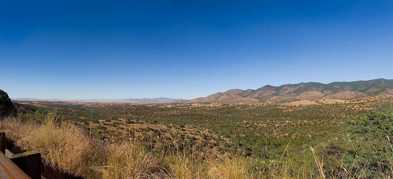
Whitehouse Canyon Road and Madera Canyon Road climb from the desert above Green Valley across open grassland into a wooded canyon in the Santa Rita Mountains. The grassland stretch is known for birds, and the upper road ends among oak and sycamore at Santa Rita Lodge.
It's a dead end, and a gentle climb from saguaro desert into a cooler sky island forest. The road crosses three one-lane bridges on the way up. Beyond the lodge it goes on about a mile to the upper trailheads.
Along the way
- Green Valley (Whitehouse Canyon Road)
- Santa Rita Lodge
Good to know
- The road crosses three one-lane bridges.
- A clearly displayed pass is required for parking; the day fee is $8.
- Pima County closes the road briefly for ice or washouts.
Open all year, weather permitting. Roads close for snow, fire, storms and repairs: before you set off, check Coronado National Forest alerts.
Questions about this drive
How long does Madera Canyon Road take?
Whitehouse Canyon Road and Madera Canyon Road from Green Valley to Santa Rita Lodge is 8.4 miles and takes about 15 minutes.
Is there a fee for Madera Canyon?
Parking requires a pass; the day fee is $8.
Is Madera Canyon good for birding?
Yes. It's known among birders, and the lodge has feeders.
What you get in the app
Free on iPhone and Android. CarPlay and Android Auto come with Apex.
More drives near here



Distance, time, elevation, curves and intensity are from Carve's route. Checked 2026-10-28.