Drives Arizona Southeast Arizona and the Sky Islands
Highway 83: Sonoita to Parker Canyon
Canelo Hills, Arizona · Sonoita → Parker Canyon Lake


The drive
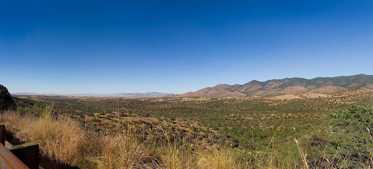
Highway 83 runs south from Sonoita through the Canelo Hills to Parker Canyon Lake, about 28 miles of rolling grassland and oak country. Sonoita and nearby Elgin are wine towns, and the countryside around them is thinly settled. The road carries the Patagonia-Sonoita Scenic Road designation along this part of southeast Arizona.
It is mostly gentle, with one short twisty stretch near the end, and the road rises and falls more than it winds. Toward the lake it narrows and the bends tighten. The pavement is rougher in Cochise County, so expect worn surface near the finish.
Highway 83 ends about half a mile short of Parker Canyon Lake, a Coronado National Forest recreation area. The lake has Lakeview Campground, a five-mile lakeside trail, and fishing for stocked trout, bass, sunfish and catfish.
Along the way
- Sonoita (Highway 83)
- Parker Canyon Lake (Highway 83)
Good to know
- The pavement deteriorates after the road enters Cochise County, so slow down and watch for rough patches near the lake.
- Parker Canyon Lake charges a day-use fee per vehicle, and the area is open year-round.
- Black bears are common around the lake, so store food properly if you camp.
Open all year, weather permitting. Roads close for snow, fire, storms and repairs: before you set off, check Arizona 511 (ADOT).
Questions about this drive
How long does Highway 83 from Sonoita to Parker Canyon Lake take?
Highway 83 from Sonoita to Parker Canyon Lake is 27.8 miles and takes about 45 minutes.
Is Highway 83 to Parker Canyon Lake paved?
Yes, the whole road is paved, but the surface gets rougher after the road enters Cochise County, and the last few miles are narrow and winding.
Is there a fee at Parker Canyon Lake?
Yes. The Forest Service charges a day-use fee per vehicle at Parker Canyon Lake and a nightly fee at Lakeview Campground; the lake is open year-round.
Is Highway 83 a scenic road?
Highway 83 carries the Patagonia-Sonoita Scenic Road designation, running through grassland, oak hills and the wine country around Sonoita.
What you get in the app
Free on iPhone and Android. CarPlay and Android Auto come with Apex.
More drives near here
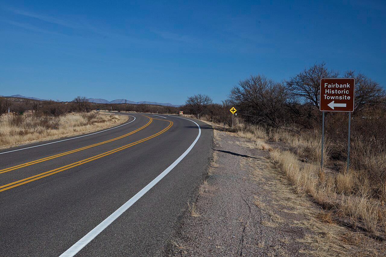 Highway 82: Patagonia to NogalesLeisurely · Santa Cruz Valley, Arizona · 18.1 mi
 Madera Canyon RoadLeisurely · Santa Rita Mountains, Arizona · 8.4 mi
 Sonoita and Patagonia: AZ-83 and 82Leisurely · Sonoita Grasslands, Arizona · 38 mi
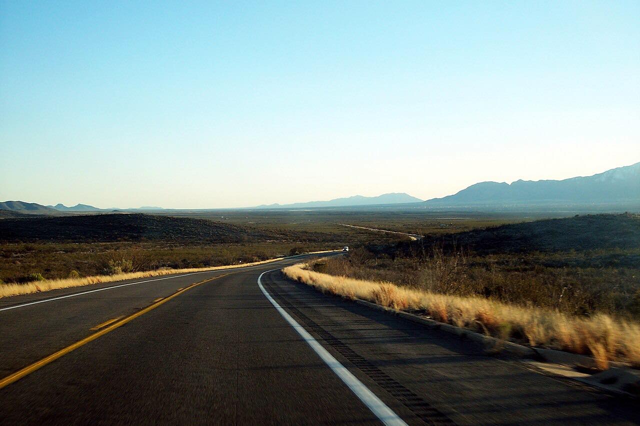 Highway 80: Tombstone to BisbeeLeisurely · Mule Mountains, Arizona · 24 mi
Distance, time, elevation, curves and intensity are from Carve's route. Checked 2026-10-28.