
Drives North Carolina The Carolina Piedmont and Coast
US 70: Beaufort to Cedar Island
US 70, NC 12 · Beaufort → Cedar Island

The drive
Down East is the part of Carteret County between Beaufort and Cedar Island, bounded by Harkers Island on the south and Cedar Island on the north, and US 70 is its main road. This drive leaves Beaufort and heads north, then east across the North River and Ward Creek to Otway. It turns southeast to Smyrna, then northeast along Core Sound, crossing Salter's Creek on the Dan Taylor Memorial Bridge. NC 12, the road to Cedar Island, joins US 70 near Sea Level.
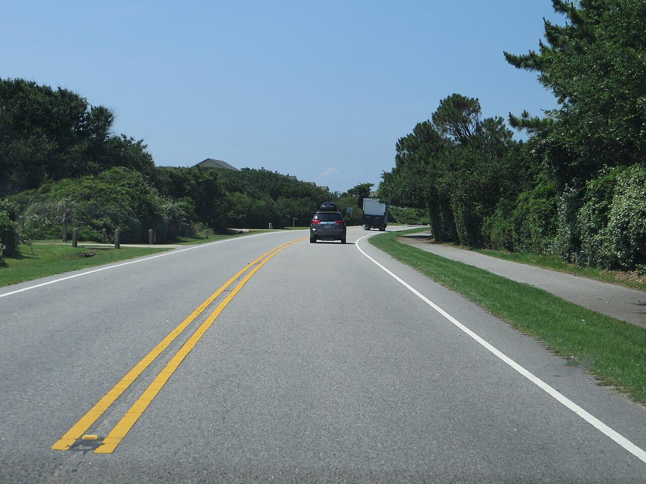
The route is 31.3 miles and about 40 minutes, flat, with gentle curves and little traffic. The villages along it include Otway, Smyrna, Stacy and Sea Level. The drive ends on Cedar Island, where more than half the island is the Cedar Island National Wildlife Refuge.
The Cedar Island ferry terminal, with service to Ocracoke and Swan Quarter, is on the north side of the island; this drive does not need it.
Along the way
- Beaufort (US 70)
- Cedar Island (US 70)
Good to know
- This is a low coast: hurricanes occasionally hit Cedar Island in the fall, and storm surge can flood it.
- The ferry is a separate trip with its own schedule, run by the North Carolina Ferry System.
Open all year, weather permitting. Roads close for snow, fire, storms and repairs: before you set off, check NCDOT DriveNC.
Questions about this drive
How long does US 70 from Beaufort to Cedar Island take?
US 70 and NC 12 from Beaufort to Cedar Island is 31.3 miles and takes about 40 minutes.
Do you need the ferry to drive US 70 Down East?
No. The drive ends on Cedar Island before the ferry terminal. The ferry to Ocracoke is a separate trip.
What is Down East North Carolina?
Down East is the part of Carteret County east of Beaufort, bounded by Harkers Island on the south and Cedar Island on the north, along Core Sound.
Is US 70 Down East twisty?
No. It is flat with gentle curves, and the draw is the villages, marsh and Core Sound.
What you get in the app
Free on iPhone and Android. CarPlay and Android Auto come with Apex.
More drives near here



Distance, time, elevation, curves and intensity are from Carve's route. Checked 2026-10-28.