
Drives South Carolina The Lowcountry and Georgia Coast
Bohicket Road
Bohicket Road, Betsy Kerrison Parkway, Seabrook Island Road · Maybank Highway → Seabrook Island Road

The drive
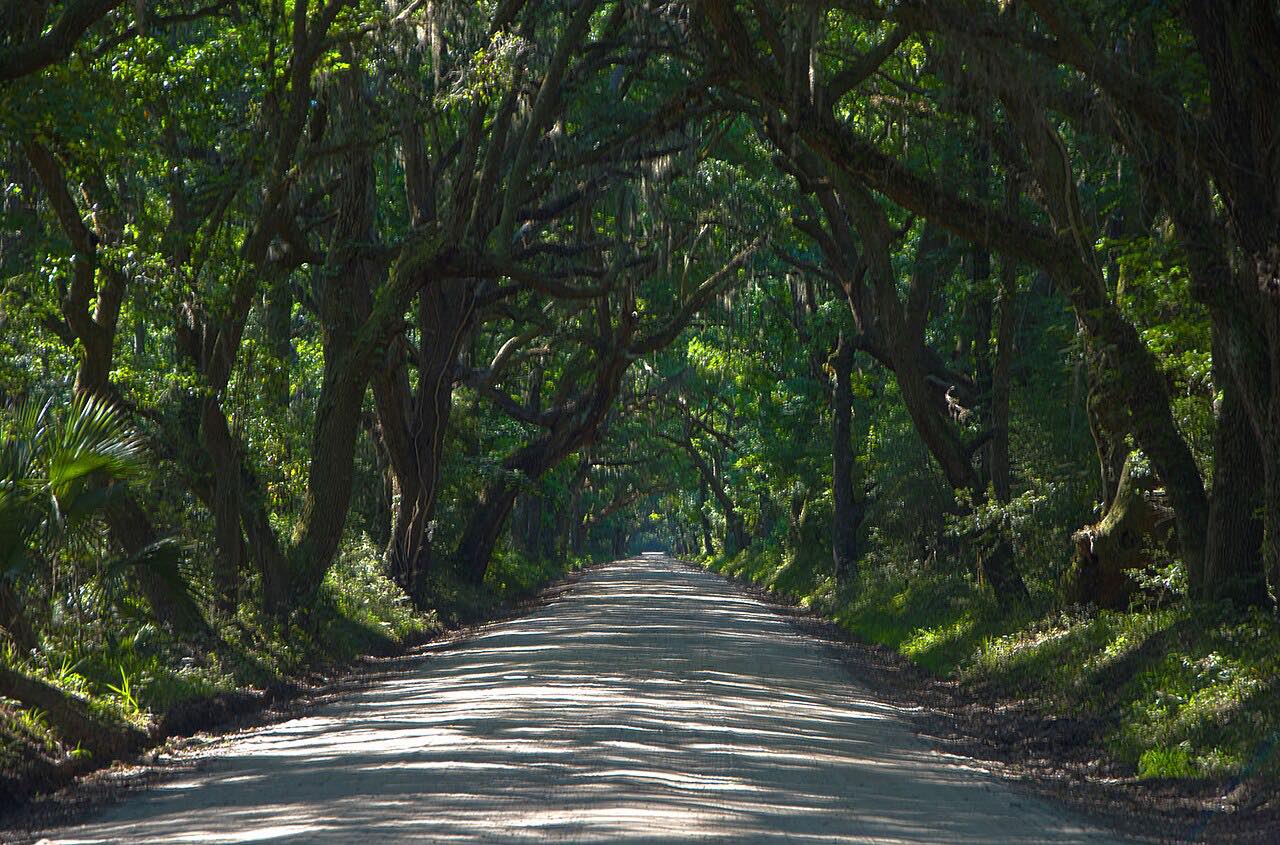
Bohicket Road is the Lowcountry drive people mean when they say live oaks and Spanish moss. It leaves Maybank Highway on Johns Island, near the Angel Oak crossroads, and runs south toward Seabrook and Kiawah Islands. The drive ends at Seabrook Island Road, 10 miles and about 15 minutes later.
It was the first state-legislatively designated scenic highway in South Carolina, and Charleston County also lists it as a scenic road. The designation requires protecting trees six inches or more across within the right-of-way. The road is flat, with gentle curves, and it is a relaxed drive.
It is also the main road to Seabrook and Kiawah, so it carries local traffic as well as visitors. A cycling guide describes the stretch toward Maybank Highway as a scenic route with tidal marsh and live oak views.
Along the way
- Maybank Highway (Johns Island)
- Seabrook Island Road
Good to know
- It is the main route to Seabrook and Kiawah Islands, so expect local and resort traffic.
- Cyclists use the road; give them room.
- Widening Bohicket Road has been debated, so check for roadwork.
Open all year, weather permitting. Roads close for snow, fire, storms and repairs: before you set off, check South Carolina 511.
Questions about this drive
Where is Bohicket Road?
Bohicket Road runs south from Maybank Highway on Johns Island, near Charleston, toward Seabrook and Kiawah Islands.
Is Bohicket Road a scenic highway?
Yes. It was the first state-legislatively designated scenic highway in South Carolina, and Charleston County also designates it as a scenic road.
How long does Bohicket Road take?
Bohicket Road from Maybank Highway to Seabrook Island Road is 10 miles and takes about 15 minutes.
Is Bohicket Road twisty?
No. Bohicket Road is flat with gentle curves. The draw is the oak canopy, not the bends.
What you get in the app
Free on iPhone and Android. CarPlay and Android Auto come with Apex.
More drives near here


Distance, time, elevation, curves and intensity are from Carve's route. Checked 2026-10-28.