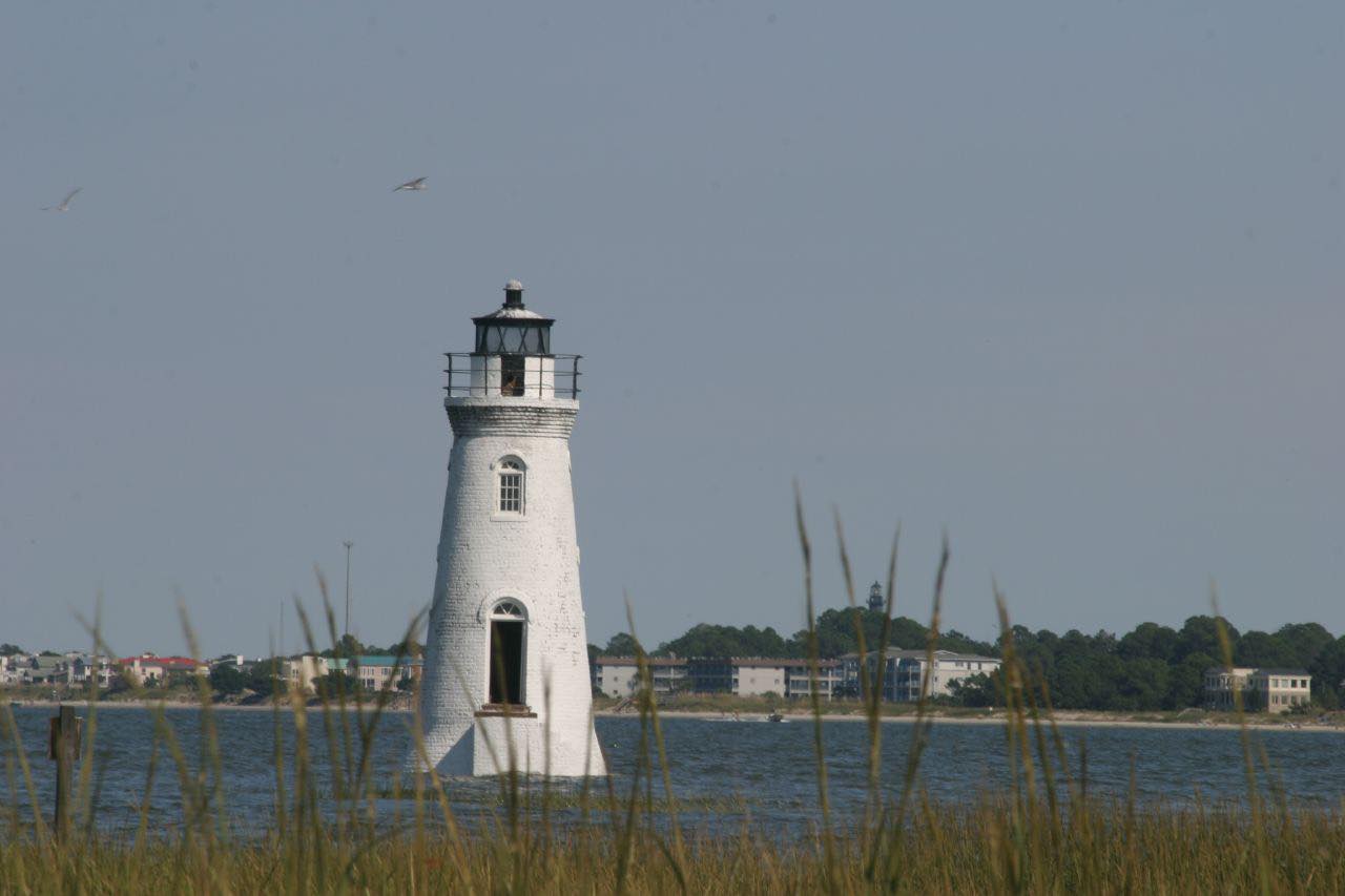
Drives Georgia The Lowcountry and Georgia Coast
US 80: Wilmington Island to Tybee
US 80, GA 26 · Wilmington Island → Tybee Island

The drive
US 80 is the only road to Tybee Island, and it is a short, flat drive across the Georgia marsh. It leaves Wilmington Island and runs east for 13 miles over tidal creeks, including the Bull River and Lazaretto Creek, to Tybrisa Street on the beach. The road is a two-lane rural highway.
Fort Pulaski National Monument sits on Cockspur Island, off US 80. The National Park Service site is a masonry fort where, in the Civil War, rifled cannon forced the Confederate garrison to surrender. It is a turnoff, not part of this drive. On Tybee itself, the lighthouse and museum have 178 steps to the top, and the beach is about 20 minutes from Savannah's Historic District.
There are almost no curves here. The reason to drive it is the salt marsh and the low bridges, and the arrival at the ocean.
Along the way
- Wilmington Island (US 80)
- Tybee Island (Tybrisa Street)
Good to know
- US 80 is the only connection between Tybee and the mainland, so peak season, special events and accidents back traffic up quickly.
- The Bull River and Lazaretto Creek bridges are two-lane; a crash can close the road.
- Fort Pulaski is a short turnoff from US 80 if you want a stop on the way.
Open all year, weather permitting. Roads close for snow, fire, storms and repairs: before you set off, check Georgia 511.
Questions about this drive
How long does US 80 from Wilmington Island to Tybee Island take?
US 80 from Wilmington Island to Tybrisa Street on Tybee Island is 13 miles and takes about 20 minutes without traffic.
Is there another road to Tybee Island?
No. US 80 is the only road connecting Tybee Island to the mainland, so delays on it affect everyone.
Is Fort Pulaski on US 80?
Fort Pulaski National Monument is on Cockspur Island, reached by a turnoff from US 80 on the way to Tybee.
Is US 80 to Tybee a twisty road?
No. It is flat with gentle curves, and it crosses salt marsh and tidal creeks.
What you get in the app
Free on iPhone and Android. CarPlay and Android Auto come with Apex.
More drives near here


Distance, time, elevation, curves and intensity are from Carve's route. Checked 2026-10-28.