
Drives South Carolina The Carolina Piedmont and Coast
Ashley River Road: Highway 61
SC 61 · Charleston → Summerville

The drive
The Ashley River Road, part of Highway 61, runs northwest from Charleston up the Ashley River to Summerville. It is widely described as one of the oldest roads in South Carolina. It was authorized by the Lords Proprietors in 1690, and it became a State Scenic Byway in 1998 and a National Scenic Byway in 2000.
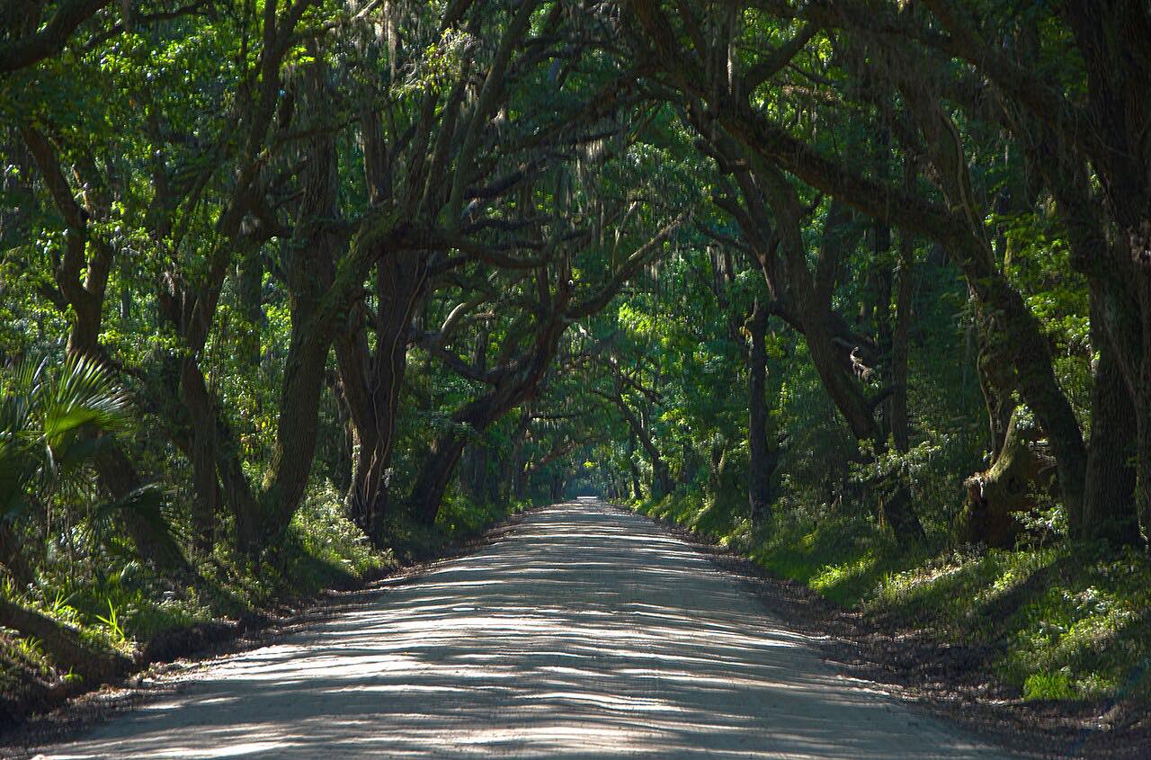
The road is four lanes near Sam Rittenberg Boulevard and becomes two lanes through the scenic stretch, with an oak canopy. It passes Drayton Hall, Magnolia Gardens, Middleton Place and St. Andrews Church.
The route is 13.9 miles and takes about 22 minutes, with 112 feet of climb.
Along the way
- Charleston
- Summerville
Good to know
- The plantation sites charge admission.
- Expect heavy traffic on weekends.
Open all year, weather permitting. Roads close for snow, fire, storms and repairs: before you set off, check 511SC (SCDOT).
Questions about this drive
How long is the Ashley River Road from Charleston to Summerville?
Highway 61 from Charleston to Summerville is 13.9 miles and takes about 22 minutes.
What plantations are on the Ashley River Road?
Drayton Hall, Magnolia Gardens and Middleton Place are all on Highway 61.
Is the Ashley River Road a scenic byway?
Yes. It was designated a State Scenic Byway in 1998 and a National Scenic Byway in 2000.
What you get in the app
Free on iPhone and Android. CarPlay and Android Auto come with Apex.
More drives near here


Distance, time, elevation, curves and intensity are from Carve's route. Checked 2026-10-28.