Drives Canterbury, New Zealand Canterbury and Christchurch
Arthur's Pass: SH73
SH 73, West Coast Road · Springfield → Otira

The drive
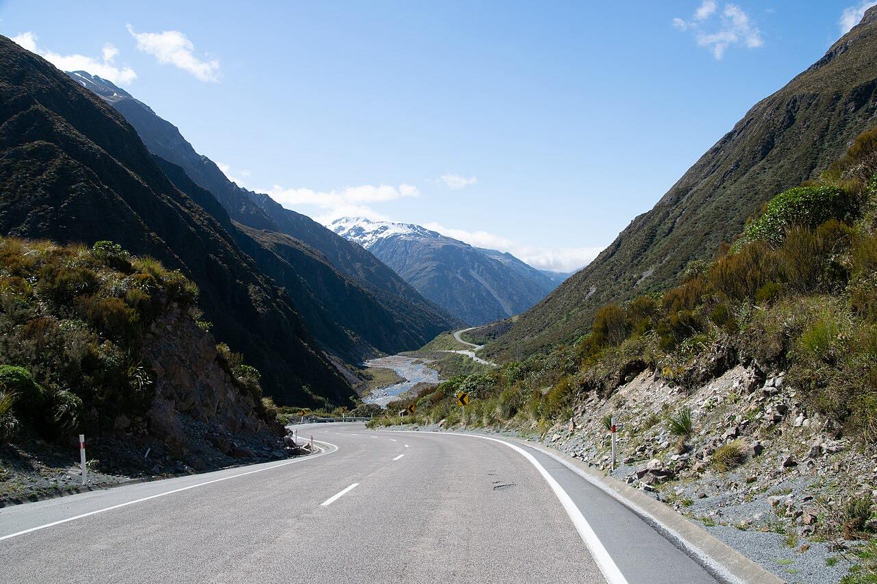
State Highway 73 crosses the Southern Alps from Springfield on the Canterbury side to Otira on the West Coast, 96 km (60 mi). It starts on open plains, then climbs through Castle Hill to Porters Pass, at 939 m the highest point on the road, and on along the lakes at Grasmere and Pearson to Cass and the Waimakariri River at Bealey Bridge.
Arthur's Pass itself is at 920 m, and the road drops into Arthur's Pass village among beech forest. The last section is the steep Otira Gorge. The Otira Viaduct, opened in 1999, replaced the old Candy's Bend section that ran across unstable scree, and a rock shelter protects the road from slips and rockfall. The drive ends at Otira.
Curves are mostly gentle, with one twisty stretch, and the drive takes about 1 hr 20 min.
Along the way
- Springfield
- Porters Pass
- Arthur's Pass
- Otira
Good to know
- Snow, ice, rockfall and avalanche control close or restrict the road, usually briefly and at short notice, mainly in winter and spring.
- Carry chains in winter; NZTA names the Otira viaduct, Porters Pass and Craigieburn Cutting as places chains are likely to be needed.
- The Otira Gorge section is steep and winding, with the viaduct and rock shelter.
- The Lewis Pass road (SH7) is the usual alternative when SH73 is closed.
Open all year, weather permitting. Roads close for snow, fire, storms and repairs: before you set off, check NZTA Journey Planner: highway conditions.
Questions about this drive
How long does Arthur's Pass SH73 take from Springfield to Otira?
Springfield to Otira on SH73 is 96 km (60 mi) and takes about 1 hr 20 min.
Is Arthur's Pass open in winter?
Usually yes, but snow, ice, rockfall and avalanche control close SH73 for short periods without notice. Carry chains and check NZTA before you go.
How high is Arthur's Pass on SH73?
The pass is at 920 m. Porters Pass, further east on the same road, is higher at 939 m.
Do I need chains to drive Arthur's Pass?
In winter, carry them. NZTA says chains may be needed at the Otira viaduct, Porters Pass and Craigieburn Cutting.
What you get in the app
Free on iPhone and Android. CarPlay and Android Auto come with Apex.
More drives near here


Distance, time, elevation, curves and intensity are from Carve's route. Checked 2026-10-28.