
Drives Canterbury, New Zealand Canterbury and Christchurch
Lewis Pass: SH7
SH 7, Lewis Pass Road, Hanmer Springs Road · Hanmer Springs → Springs Junction

The drive
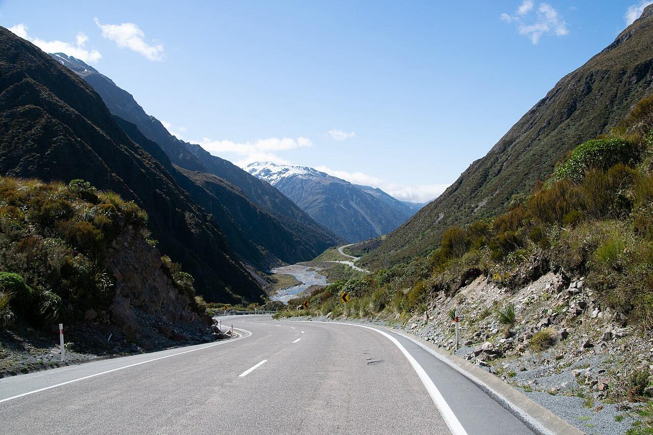
Lewis Pass is the northernmost of the three main road passes across the Southern Alps. This drive runs 93 km (58 mi) from Hanmer Springs west to Springs Junction, taking in the 9.4 km spur road SH7A and then State Highway 7 over the pass.
From Hanmer Springs the road follows river valleys and runs through beech forest, climbing gradually to the pass. On the western side it drops past Maruia Springs, a small spa town, and ends at Springs Junction, where SH7 meets SH65. Curves are mostly gentle, and the drive takes about 1 hr 15 min.
SH7 is the usual alternative when Arthur's Pass is closed, so it carries a mix of freight, holiday traffic and travellers heading to the West Coast.
Along the way
- Hanmer Springs
- Maruia Springs
- Springs Junction
Good to know
- Snow and ice can close the pass briefly in winter, usually at short notice.
- Flooding on SH7 between the Hanmer turn-off and Murchison has affected the road in heavy rain.
Open all year, weather permitting. Roads close for snow, fire, storms and repairs: before you set off, check NZTA Journey Planner: highway conditions.
Questions about this drive
How long does Lewis Pass SH7 take from Hanmer Springs to Springs Junction?
Hanmer Springs to Springs Junction over Lewis Pass is 93 km (58 mi) and takes about 1 hr 15 min.
Is Lewis Pass open in winter?
Usually yes, but snow can close SH7 briefly. Check NZTA before travelling and carry chains.
Is the Lewis Pass road twisty?
No. Lewis Pass has mostly gentle curves through river valleys and beech forest.
Where does the Lewis Pass drive end?
At Springs Junction, where SH7 meets SH65, on the West Coast side of the pass.
What you get in the app
Free on iPhone and Android. CarPlay and Android Auto come with Apex.
More drives near here



Distance, time, elevation, curves and intensity are from Carve's route. Checked 2026-10-28.