
Drives Canterbury, New Zealand Canterbury and Christchurch
Highway 1: Cheviot to Kaikoura
SH 1 · Cheviot → Kaikoura

The drive
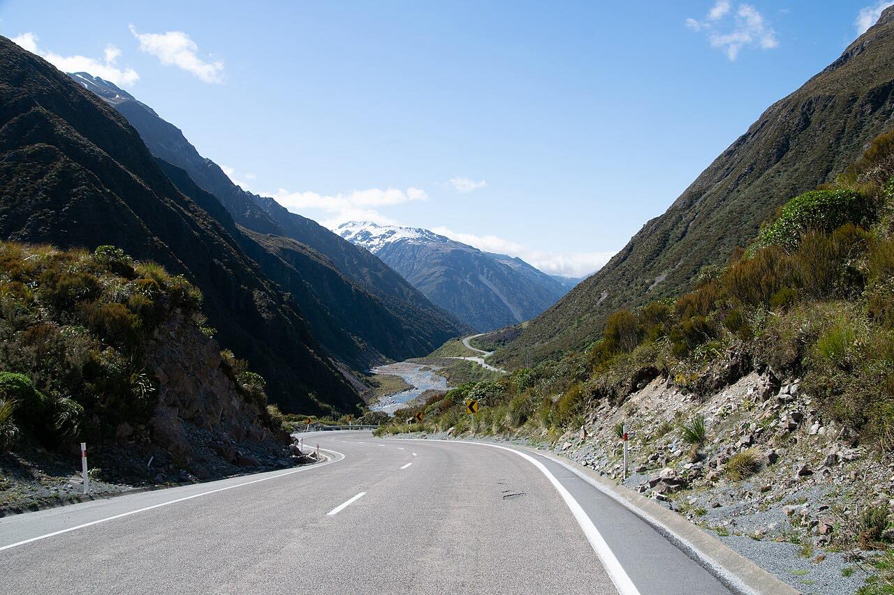
State Highway 1 between Cheviot and Kaikōura is 67 km (42 mi) of the East Coast route north from Canterbury. It leaves Cheviot through rolling hill country and climbs over the Hundalee Hills, then drops to the coast and runs along the sea toward Kaikōura with the Kaikōura ranges ahead.
Curves are frequent but mostly gentle, with two twisty stretches, and the drive takes about 55 minutes. The second half runs along the shore.
The Kaikōura ranges rise ahead for most of the second half.
Along the way
- Cheviot
- Kaikoura
Good to know
- Heavy rain, floods and slips can close or restrict this road at short notice, so check NZTA's journey planner before you go.
- Repairs after storms can mean a single lane and delays, so allow extra time.
Open all year, weather permitting. Roads close for snow, fire, storms and repairs: before you set off, check NZTA Journey Planner: highway conditions.
Questions about this drive
How long does Cheviot to Kaikoura on SH1 take?
Cheviot to Kaikōura on SH1 is 67 km (42 mi) and takes about 55 minutes.
Does SH1 between Cheviot and Kaikoura close?
Slips and floods close or restrict it at times. Check NZTA's journey planner for the current state.
Is SH1 to Kaikoura twisty?
Frequent bends, mostly gentle, with two twisty stretches over the Hundalee Hills and along the coast.
What can you see on the drive from Cheviot to Kaikoura?
Hill country at first, then the Pacific coast and the Kaikōura ranges ahead as the road runs north.
What you get in the app
Free on iPhone and Android. CarPlay and Android Auto come with Apex.
More drives near here



Distance, time, elevation, curves and intensity are from Carve's route. Checked 2026-10-28.