Drives Virginia Roanoke and Southwest Virginia
Highway 8: Stuart to Floyd
Woolwine Highway, VA 8 · Stuart → Floyd

The drive
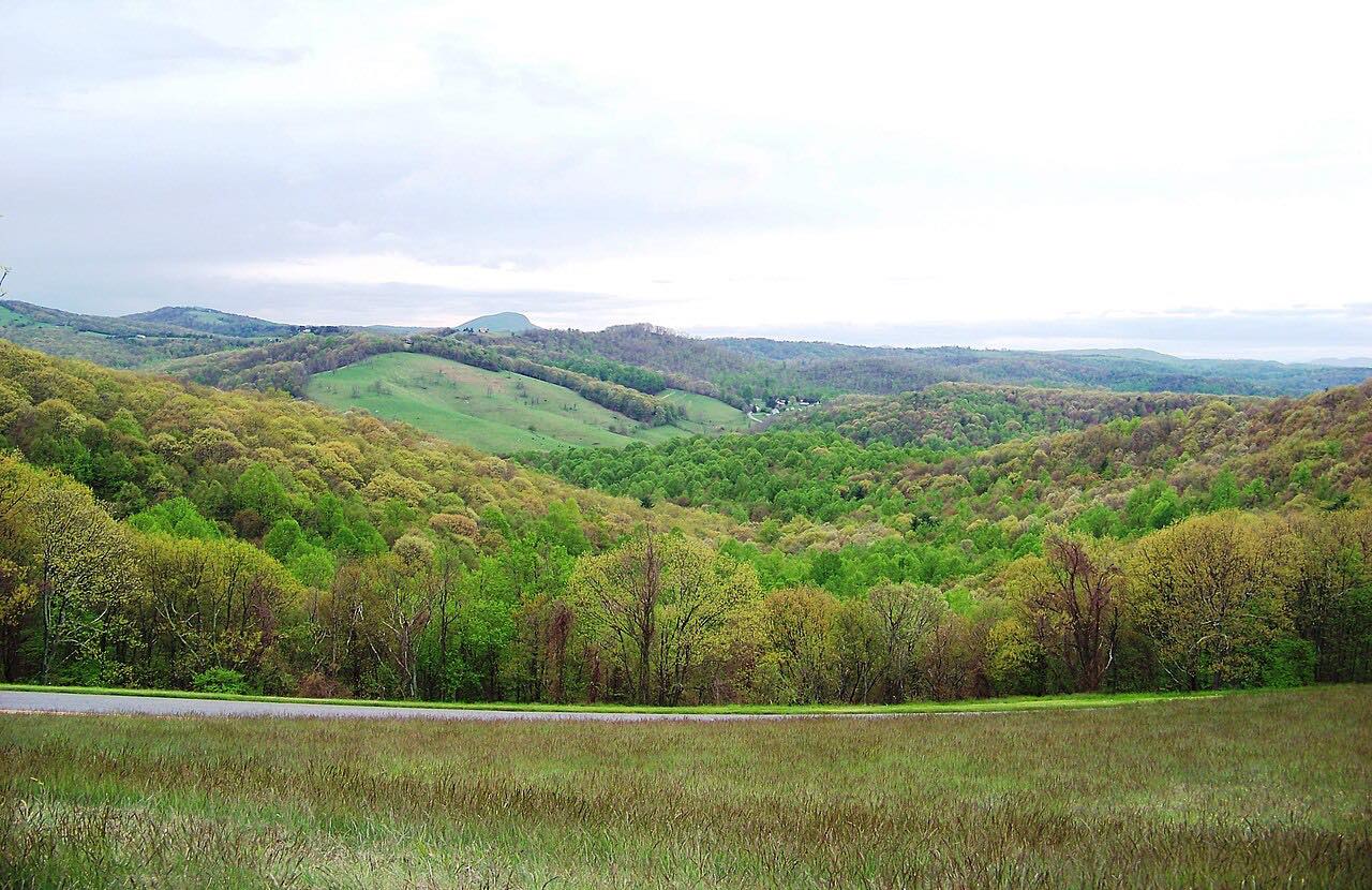
Virginia State Route 8 runs north from Stuart. It follows a narrow creek valley with US 58 to Cruzes Store, turns northeast onto Woolwine Highway, passes through Woolwine and crosses the Smith River.
East of Rocky Knob, it climbs Blue Ridge Mountain to Tuggle Gap, on the Eastern Continental Divide, where there is an interchange with the Blue Ridge Parkway and the road enters Floyd County. It then continues north into the county seat of Floyd. The drive is 22.4 miles in about 35 minutes with mostly gentle curves and two twisty stretches.
Along the way
- Stuart (Cruzes Store)
- Woolwine
- Floyd
Good to know
- Flagging and one-lane traffic have happened at Route 8 and Route 836 (Ashby Drive) in Patrick County, so check VDOT before you go.
- Check 511 Virginia for current conditions.
Open all year, weather permitting. Roads close for snow, fire, storms and repairs: before you set off, check 511 Virginia: road conditions.
Questions about this drive
How long does Highway 8 from Stuart to Floyd take?
Virginia Route 8 from Cruzes Store to Floyd is 22.4 miles and takes about 35 minutes.
Does Route 8 meet the Blue Ridge Parkway?
Yes. Route 8 has an interchange with the Blue Ridge Parkway at Tuggle Gap.
Is there construction on Route 8 near Stuart?
It can slow or close for weather or road work, so check VDOT's status before you go.
What you get in the app
Free on iPhone and Android. CarPlay and Android Auto come with Apex.
More drives near here



Distance, time, elevation, curves and intensity are from Carve's route. Checked 2026-10-28.