Drives West Virginia Roanoke and Southwest Virginia
Highway 311: Catawba to Paint Bank
Catawba Valley Drive, VA 311, Paint Bank Road · Hanging Rock → Sweet Springs


The drive
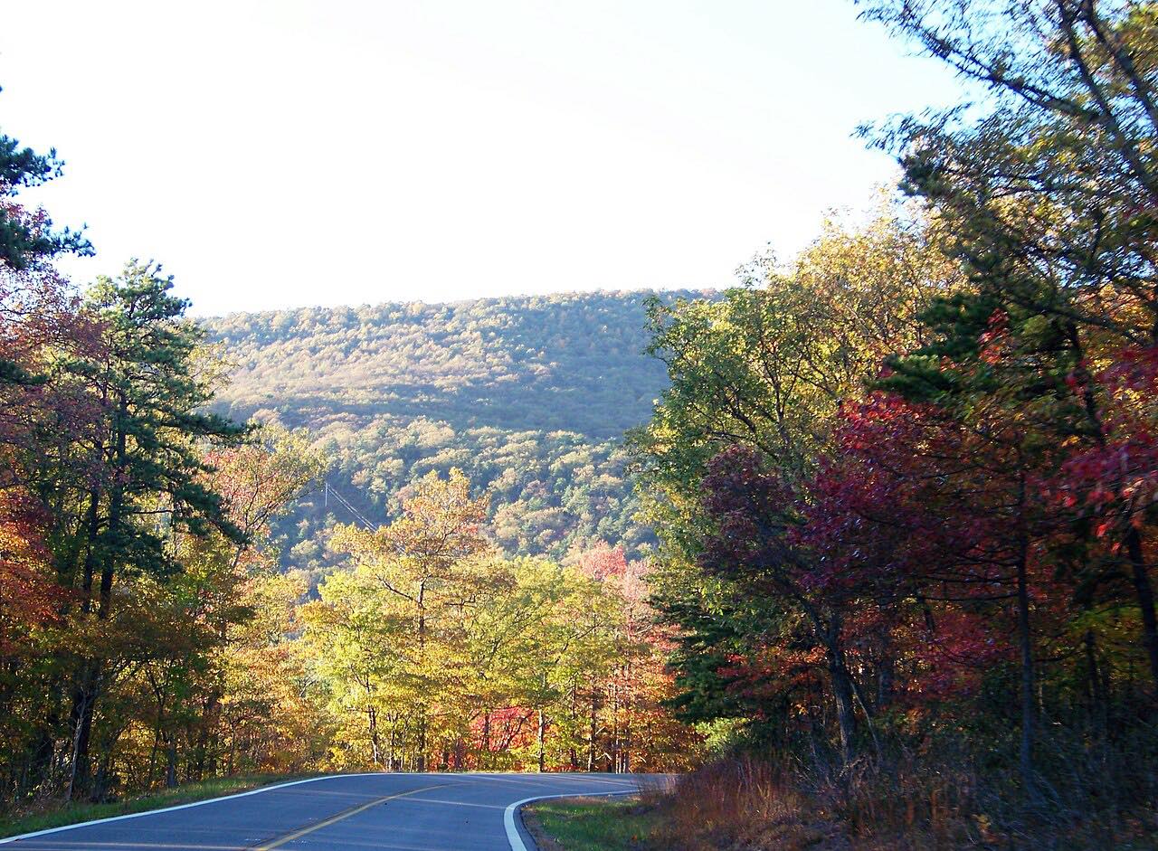
Virginia Route 311 runs about 58.7 miles from Salem to I-64 near White Sulphur Springs. This drive begins past Hanging Rock, where the highway follows Mason Creek into Mason Cove and climbs Catawba Mountain, crossing the Appalachian Trail.
The road descends into the Catawba Creek valley, then follows Craig Creek to New Castle, the Craig County seat. From there it climbs Potts Mountain to Paint Bank, and then ascends Peters Mountain, leaving Jefferson National Forest at the summit and crossing into West Virginia. The drive ends at Sweet Springs, where Route 311 meets WV 3.
Along the way
- Hanging Rock
- Catawba
- Paint Bank
- Sweet Springs
Good to know
- The drive crosses a state line: check Virginia 511 and WV511 for closures.
- The road crosses the Appalachian Trail on Catawba Mountain.
Open all year, weather permitting. Roads close for snow, fire, storms and repairs: before you set off, check Virginia 511.
Questions about this drive
How long does Highway 311 from Catawba to Paint Bank take?
This drive on Route 311 from Hanging Rock to Sweet Springs is 41.5 miles and takes about 1 hr 5 min.
What towns are on Virginia Route 311?
Route 311 passes Catawba, New Castle, the Craig County seat, and Paint Bank before crossing Peters Mountain into West Virginia.
What you get in the app
Free on iPhone and Android. CarPlay and Android Auto come with Apex.
More drives near here
 Blue Ridge Parkway: Roanoke to Mabry MillSweeping · Blue Ridge Parkway · 56 mi
 Blue Ridge Parkway: Roanoke to Peaks of OtterSweeping · Blue Ridge Parkway · 23 mi
 Highway 220: Covington to Hot SpringsTwisty · US 220, Sheep Meadow Road · 18.3 mi
 Highway 130: Natural Bridge to Big IslandSweeping · VA 130, US 501 · 14.5 mi
Distance, time, elevation, curves and intensity are from Carve's route. Checked 2026-10-28.