
Drives Virginia Roanoke and Southwest Virginia
Highway 130: Natural Bridge to Big Island
VA 130, US 501, Wert Faulkner Highway · Natural Bridge → Big Island


The drive
VA 130 starts at Natural Bridge and heads east as the two-lane Wert Faulkner Highway through Glasgow, then crosses the Maury River. East of the river it joins US 501, which follows the Maury River to the James River and runs east through the James River Gorge in the Blue Ridge.
The drive ends at Big Island on the Blue Ridge Parkway side. It is about 14 miles of tree-lined bends and gorge walls.
Big Island is on US 501, south of where the concurrency begins.
Along the way
- Natural Bridge
- Big Island (Blue Ridge Parkway side)
Good to know
- Trucks use US 501 through the gorge.
- Check VDOT 511 for current conditions.
- The Blue Ridge Parkway has its own closures; check the NPS.
Open all year, weather permitting. Roads close for snow, fire, storms and repairs: before you set off, check Virginia 511 (VDOT).
Questions about this drive
How long is VA 130 from Natural Bridge to Big Island?
It is 14.5 miles and takes about 24 minutes.
Which roads does this drive use?
VA 130 from Natural Bridge to Glasgow, then US 501 along the river to Big Island.
Does it connect to the Blue Ridge Parkway?
Yes. The drive ends on the Blue Ridge Parkway side of Big Island.
What you get in the app
Free on iPhone and Android. CarPlay and Android Auto come with Apex.
More drives near here
 Goshen Pass: Highway 39Sweeping · Maury River Road, Mountain Valley Road · 30 mi
 Blue Ridge Parkway: Roanoke to Peaks of OtterSweeping · Blue Ridge Parkway · 23 mi
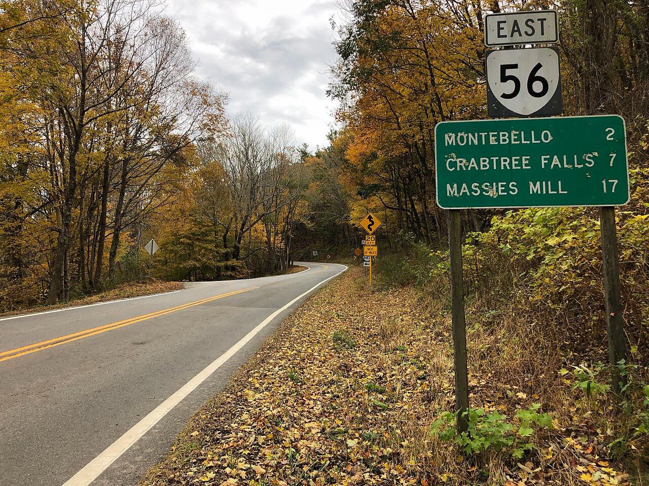 Crabtree Falls Highway: Highway 56Twisty · Crabtree Falls Highway, Tye River Turnpike · 21 mi
 Highway 220: Covington to Hot SpringsTwisty · US 220, Sheep Meadow Road · 18.3 mi
Distance, time, elevation, curves and intensity are from Carve's route. Checked 2026-10-28.