
Drives Virginia Roanoke and Southwest Virginia
Blue Ridge Parkway: Roanoke to Mabry Mill
Blue Ridge Parkway · Roanoke → Mabry Mill


The drive
This drive follows the Blue Ridge Parkway south from the US 220 interchange at Roanoke to Mabry Mill at milepost 176.1, 56.1 miles in about 1 hr 35 min. Curves are mostly gentle, with one twisty stretch.
Rocky Knob Recreation Area (miles 167 to 174) overlooks Rock Castle Gorge. Mabry Mill was operated by E.B. Mabry from 1910 to 1935 and has a gristmill, sawmill and blacksmith shop; the National Park Service notes a blacksmith at work and says the site is especially lively in summer and fall.
Along the way
- Roanoke (US-220)
- Parkway
- Mabry Mill
Good to know
- The Parkway has no fee, and its speed limit is never higher than 45 mph.
- Commercial vehicles are prohibited on the Parkway unless approved by the Park Service.
Open all year, weather permitting. Roads close for snow, fire, storms and repairs: before you set off, check Blue Ridge Parkway: road status and closures.
Questions about this drive
How long does the Blue Ridge Parkway from Roanoke to Mabry Mill take?
The 56.1 miles from Roanoke to Mabry Mill take about 1 hr 35 min.
Are there closures on the Blue Ridge Parkway south of Roanoke?
Bridge work has brought single-lane closures between MP 121 and 147, and the Roanoke Mountain Loop at MP 120.3 has been closed. Check the parkway's closures page before you go.
Where is Mabry Mill on the Blue Ridge Parkway?
Mabry Mill is at milepost 176 near Meadows of Dan, Virginia.
Is there a fee for the Blue Ridge Parkway?
No. The Parkway has no fee to drive.
What you get in the app
Free on iPhone and Android. CarPlay and Android Auto come with Apex.
More drives near here
 Blue Ridge Parkway: Roanoke to Peaks of OtterSweeping · Blue Ridge Parkway · 23 mi
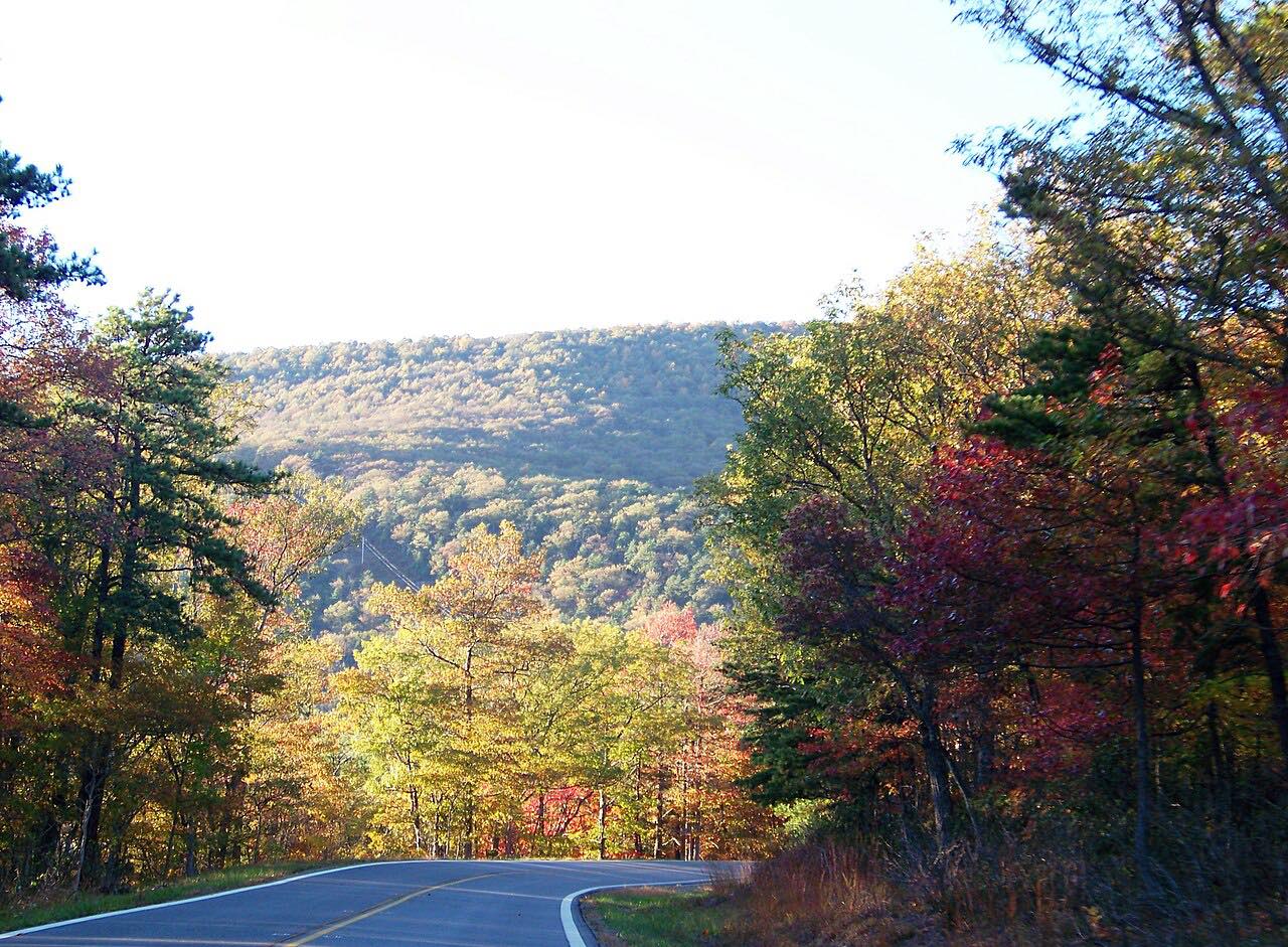 Highway 311: Catawba to Paint BankSweeping · Catawba Valley Drive, VA 311 · 42 mi
 Highway 130: Natural Bridge to Big IslandSweeping · VA 130, US 501 · 14.5 mi
 Highway 220: Covington to Hot SpringsTwisty · US 220, Sheep Meadow Road · 18.3 mi
Distance, time, elevation, curves and intensity are from Carve's route. Checked 2026-10-28.