
Drives North Carolina The Carolina Piedmont and Coast
Hanging Rock: Westfield to Danbury
NC 66, NC 268, Lynchburg Road · Westfield → Danbury

The drive
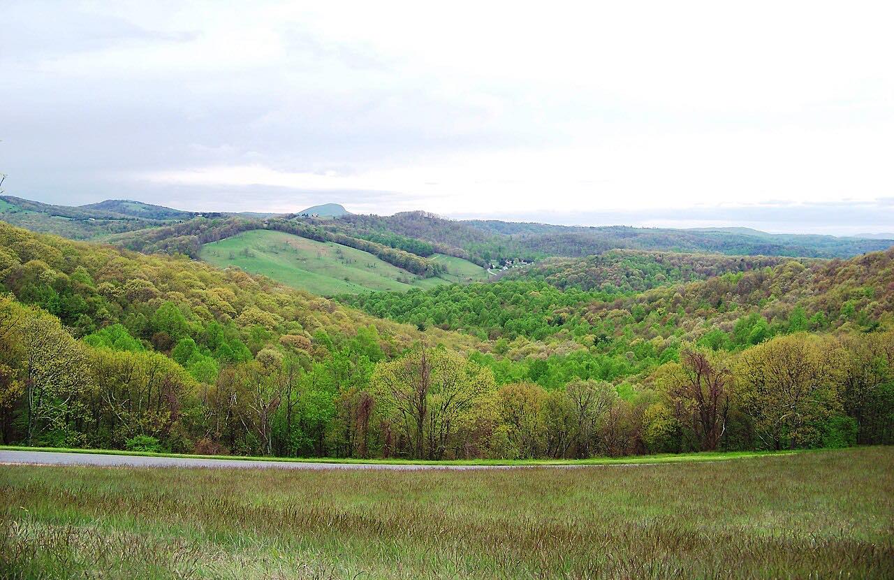
This is a quiet drive through the Piedmont of Stokes County, in the shadow of the Sauratown Mountains. It runs 16.6 miles from Westfield to Danbury on NC 66, NC 268 and NC 89, with rolling curves through woods and farms and three short twisty stretches. The highest point is only about 1,200 feet, and the climb is gentle.
North Carolina marks the Hanging Rock Scenic Byway on NC 66 and NC 89, a state scenic byway in the Piedmont. Hanging Rock State Park, 9,011 acres established in 1936, is nearby, but its roads are separate from this one. Danbury, where the drive ends, is the Stokes County seat and is known as the Gateway to Hanging Rock.
In Danbury, the Moratock Iron Furnace stands on Main Street (NC 8/89) at Shepard Mill Road. Nathaniel Moody built it in 1843, it supplied iron to the Confederacy from 1862 to 1865, and it is on the National Register of Historic Places. It is the centerpiece of Moratock Park.
Along the way
- Westfield (NC 66)
- Danbury (NC 89)
Good to know
- Hanging Rock State Park is nearby, but its roads are separate from this one; the drive does not enter the park.
- The state scenic byway is marked on NC 66 and NC 89; this route also uses NC 268 between them.
Open all year, weather permitting. Roads close for snow, fire, storms and repairs: before you set off, check NCDOT DriveNC.
Questions about this drive
How long does the Hanging Rock drive from Westfield to Danbury take?
NC 66, NC 268 and NC 89 from Westfield to Danbury is 16.6 miles and takes about 30 minutes.
What is the Hanging Rock Scenic Byway?
It is a North Carolina state scenic byway marked on NC 66 and NC 89 in the Piedmont, 38 miles long, near Hanging Rock State Park.
Is the Hanging Rock drive near Hanging Rock State Park?
Yes. The Hanging Rock Scenic Byway runs through Stokes County near Hanging Rock State Park, and Danbury, where this drive ends, is known as the Gateway to Hanging Rock.
What is in Danbury, North Carolina?
Danbury is the Stokes County seat. Moratock Park and the 1843 Moratock Iron Furnace, listed on the National Register of Historic Places, stand on Main Street.
What you get in the app
Free on iPhone and Android. CarPlay and Android Auto come with Apex.
More drives near here


Distance, time, elevation, curves and intensity are from Carve's route. Checked 2026-10-28.